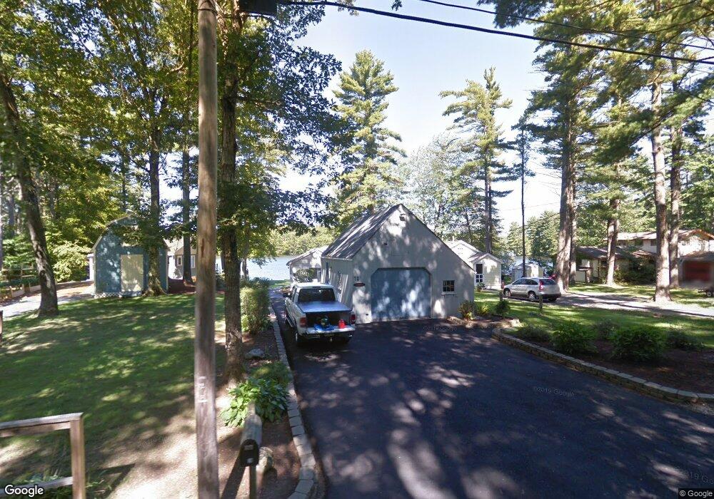
74 Javica Ln Sanford, ME 04073
South Sanford NeighborhoodEstimated Value: $309,000 - $346,000
2
Beds
1
Bath
692
Sq Ft
$482/Sq Ft
Est. Value
About This Home
This home is located at 74 Javica Ln, Sanford, ME 04073 and is currently estimated at $333,755, approximately $482 per square foot. 74 Javica Ln is a home located in York County.
Ownership History
Date
Name
Owned For
Owner Type
Purchase Details
Closed on
May 6, 2016
Sold by
Riley Judith M
Bought by
Judith M Riley Ret and Riley
Current Estimated Value
Purchase Details
Closed on
Jul 30, 2014
Sold by
Bunch Diane M and Bunch 3Rd Rodney J
Bought by
Riley Michael J and Riley Judith M
Purchase Details
Closed on
Jun 9, 2008
Sold by
Luiggi Fred P and Luiggi Linda L
Bought by
Bunch Rodney J and Bunch Daine M
Create a Home Valuation Report for This Property
The Home Valuation Report is an in-depth analysis detailing your home's value as well as a comparison with similar homes in the area
Home Values in the Area
Average Home Value in this Area
Purchase History
| Date | Buyer | Sale Price | Title Company |
|---|---|---|---|
| Judith M Riley Ret | -- | -- | |
| Riley Michael J | -- | -- | |
| Riley Michael J | -- | -- | |
| Bunch Rodney J | -- | -- |
Source: Public Records
Tax History Compared to Growth
Tax History
| Year | Tax Paid | Tax Assessment Tax Assessment Total Assessment is a certain percentage of the fair market value that is determined by local assessors to be the total taxable value of land and additions on the property. | Land | Improvement |
|---|---|---|---|---|
| 2025 | $3,482 | $203,600 | $136,000 | $67,600 |
| 2024 | $3,286 | $203,600 | $136,000 | $67,600 |
| 2023 | $3,073 | $203,000 | $136,000 | $67,000 |
| 2022 | $3,004 | $203,000 | $136,000 | $67,000 |
| 2021 | $3,691 | $203,000 | $136,000 | $67,000 |
| 2020 | $3,647 | $180,900 | $119,100 | $61,800 |
| 2019 | $3,745 | $180,900 | $119,100 | $61,800 |
| 2018 | $3,452 | $168,400 | $106,500 | $61,900 |
| 2017 | $3,482 | $167,900 | $106,500 | $61,400 |
| 2016 | $3,641 | $160,100 | $106,500 | $53,600 |
| 2015 | $3,399 | $154,200 | $100,600 | $53,600 |
| 2014 | $2,940 | $125,600 | $71,900 | $53,700 |
| 2013 | -- | $136,200 | $80,900 | $55,300 |
Source: Public Records
Map
Nearby Homes
- 99 Channel Ln
- 41 Sunny Ln
- 122 Country Club 3 Rd
- Lot 8E Country Club Rd
- 42 Bernice Ave
- Lot 55-A Ford Quint Rd
- 22 Lentago Ln
- Lot 4 Tbd Lentago Ln Unit Lot 4
- 247 Sam Allen Rd
- 45 Grace Ln
- TBD Ridge Terrace Unit Lot 7
- TBD Ridge Terrace Unit Lot 6
- Lot 1 Ridge Terrace
- 469 High St
- 12 Birch Ln
- 17 Airport Rd
- 56 Sam Allen Rd
- 0 Airport Rd Unit 1634997
- 0 Airport Rd Unit 1624305
- Lot 3 Gatehouse Rd