74 Johnson Cir Nahunta, GA 31553
Estimated Value: $145,000 - $253,000
Studio
4
Baths
2,060
Sq Ft
$99/Sq Ft
Est. Value
About This Home
This home is located at 74 Johnson Cir, Nahunta, GA 31553 and is currently estimated at $203,294, approximately $98 per square foot. 74 Johnson Cir is a home located in Brantley County with nearby schools including Nahunta Primary School, Nahunta Elementary School, and Brantley County Middle School.
Ownership History
Date
Name
Owned For
Owner Type
Purchase Details
Closed on
Mar 20, 2017
Sold by
Crews Kelly N
Bought by
Vest Kelly N and Vest Haskell
Current Estimated Value
Purchase Details
Closed on
Dec 14, 2007
Sold by
Agee Benjamin D
Bought by
Crews Kelly N and Crews Harry C
Home Financials for this Owner
Home Financials are based on the most recent Mortgage that was taken out on this home.
Original Mortgage
$150,000
Interest Rate
6.21%
Mortgage Type
New Conventional
Purchase Details
Closed on
Jun 16, 2005
Sold by
Rentz W Derrell
Bought by
Agee Benjamin D and Agee Julie R
Home Financials for this Owner
Home Financials are based on the most recent Mortgage that was taken out on this home.
Original Mortgage
$111,000
Interest Rate
5.66%
Mortgage Type
New Conventional
Create a Home Valuation Report for This Property
The Home Valuation Report is an in-depth analysis detailing your home's value as well as a comparison with similar homes in the area
Purchase History
| Date | Buyer | Sale Price | Title Company |
|---|---|---|---|
| Vest Kelly N | -- | -- | |
| Crews Kelly N | $150,000 | -- | |
| Agee Benjamin D | $115,000 | -- |
Source: Public Records
Mortgage History
| Date | Status | Borrower | Loan Amount |
|---|---|---|---|
| Previous Owner | Crews Kelly N | $150,000 | |
| Previous Owner | Agee Benjamin D | $111,000 |
Source: Public Records
Tax History
| Year | Tax Paid | Tax Assessment Tax Assessment Total Assessment is a certain percentage of the fair market value that is determined by local assessors to be the total taxable value of land and additions on the property. | Land | Improvement |
|---|---|---|---|---|
| 2025 | $1,656 | $71,603 | $8,540 | $63,063 |
| 2024 | $1,683 | $56,477 | $5,372 | $51,105 |
| 2023 | $322 | $55,988 | $4,883 | $51,105 |
| 2022 | $1,659 | $54,988 | $4,883 | $50,105 |
| 2021 | $1,604 | $44,249 | $4,883 | $39,366 |
| 2020 | $1,631 | $43,669 | $4,883 | $38,786 |
| 2019 | $1,629 | $43,669 | $4,883 | $38,786 |
| 2018 | $1,654 | $48,658 | $9,872 | $38,786 |
| 2017 | $1,654 | $48,658 | $9,872 | $38,786 |
| 2016 | $1,774 | $48,658 | $9,872 | $38,786 |
| 2015 | -- | $48,659 | $9,872 | $38,786 |
Source: Public Records
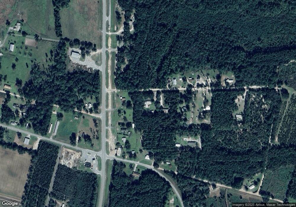
Map
Nearby Homes
- 7126 U S 301
- 6401 Riverside Rock Rd Unit TRACT 2
- 6401 Riverside Rock Rd
- 6291 Riverside Rock Rd
- 169 Johns Way
- 00 Robin Ln
- 0 Robin Ln
- 193 Blackberry Rd
- 91 Cane Cir
- 46 Christopher Cir
- 4561 Buffalo Creek Dr
- 2795 Highway 301 S
- 92 Ervin St
- 20.55 ACRES Highway 82
- 154 Avalon St
- 4921 Hwy 301 S Hwy
- 109 Rainge St
- 387 Burton St
- 584 Knox St
- 86 Smith Dr
- 74 Johnson Cir
- 6210 Highway 301 S
- 125 Johnson Cir
- 6152 Highway 301 S
- 8362 Riverside Rd
- 178 Johnson Cir
- 6122 Highway 301 S
- 8350 Riverside Rd
- 177 Johnson Cir
- 83 Autumn Ln
- 29 Autumn Ln
- 207 Autumn Ln
- 6376 Highway 301 S
- 308 Johnson Cir
- 8221 Riverside Rd
- 1584 Hoke Cir
- 117 Autumn Ln
- 1546 Hoke Cir
- 0 Highway 32 Post Rd Unit 8421487
- 10.78 Ac Slab Branch Rd
Your Personal Tour Guide
Ask me questions while you tour the home.