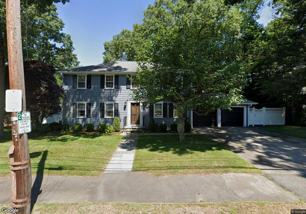
74 Kirkstall Rd Newtonville, MA 02460
Newtonville NeighborhoodEstimated Value: $1,896,329 - $2,164,000
4
Beds
3
Baths
2,596
Sq Ft
$777/Sq Ft
Est. Value
About This Home
This home is located at 74 Kirkstall Rd, Newtonville, MA 02460 and is currently estimated at $2,017,582, approximately $777 per square foot. 74 Kirkstall Rd is a home located in Middlesex County with nearby schools including Cabot Elementary School, F.A. Day Middle School, and Newton North High School.
Ownership History
Date
Name
Owned For
Owner Type
Purchase Details
Closed on
Jun 28, 1991
Sold by
Woodland Enterprises
Bought by
Stein Robin M
Current Estimated Value
Home Financials for this Owner
Home Financials are based on the most recent Mortgage that was taken out on this home.
Original Mortgage
$191,250
Interest Rate
9.44%
Mortgage Type
Purchase Money Mortgage
Purchase Details
Closed on
Oct 24, 1990
Sold by
Redstone Shelley H
Bought by
Woodland Enterp Inc
Home Financials for this Owner
Home Financials are based on the most recent Mortgage that was taken out on this home.
Original Mortgage
$1,000,000
Interest Rate
10.08%
Mortgage Type
Purchase Money Mortgage
Create a Home Valuation Report for This Property
The Home Valuation Report is an in-depth analysis detailing your home's value as well as a comparison with similar homes in the area
Home Values in the Area
Average Home Value in this Area
Purchase History
| Date | Buyer | Sale Price | Title Company |
|---|---|---|---|
| Stein Robin M | $440,000 | -- | |
| Woodland Enterp Inc | $375,000 | -- |
Source: Public Records
Mortgage History
| Date | Status | Borrower | Loan Amount |
|---|---|---|---|
| Closed | Woodland Enterp Inc | $190,000 | |
| Closed | Stein Robin M | $191,250 | |
| Previous Owner | Woodland Enterp Inc | $1,000,000 |
Source: Public Records
Tax History Compared to Growth
Tax History
| Year | Tax Paid | Tax Assessment Tax Assessment Total Assessment is a certain percentage of the fair market value that is determined by local assessors to be the total taxable value of land and additions on the property. | Land | Improvement |
|---|---|---|---|---|
| 2025 | $16,577 | $1,691,500 | $1,253,300 | $438,200 |
| 2024 | $16,028 | $1,642,200 | $1,216,800 | $425,400 |
| 2023 | $15,204 | $1,493,500 | $933,600 | $559,900 |
| 2022 | $14,548 | $1,382,900 | $864,400 | $518,500 |
| 2021 | $14,037 | $1,304,600 | $815,500 | $489,100 |
| 2020 | $13,620 | $1,304,600 | $815,500 | $489,100 |
| 2019 | $13,236 | $1,266,600 | $791,700 | $474,900 |
| 2018 | $12,735 | $1,177,000 | $712,600 | $464,400 |
| 2017 | $12,348 | $1,110,400 | $672,300 | $438,100 |
| 2016 | $10,216 | $897,700 | $628,300 | $269,400 |
| 2015 | $9,741 | $839,000 | $587,200 | $251,800 |
Source: Public Records
Map
Nearby Homes
- 127-129 Withington Rd Unit 1
- 300 Cabot St
- 110 Harvard St Unit A
- 44 Blake St Unit 2
- 10 Washington Park
- 10 Washington Park Unit 2
- 10 Washington Park Unit 1
- 22 Walnut Place Unit 1
- 3 Cedar St
- 34 Morton Rd
- 48 Harvard St Unit 1
- 887 Commonwealth Ave
- 73 Elmore St
- 61 Lakeview Ave
- 911 Washington St
- 77 Court St Unit 205
- 935 Washington St Unit 8
- 957 Washington St Unit 1
- 168 Walnut St
- 123-125 Mount Vernon St
- 64 Kirkstall Rd
- 82 Kirkstall Rd
- 15 Charlesden Park
- 77 Kirkstall Rd
- 83 Kirkstall Rd
- 10 Charlesden Park
- 16 Charlesden Park
- 54 Kirkstall Rd
- 59 Kirkstall Rd
- 231 Upland Rd
- 98 Kirkstall Rd
- 223 Upland Rd
- 235 Upland Rd
- 80 Atwood Ave
- 40 Kirkstall Rd
- 15 Pheasant Rd
- 84 Atwood Ave
- 47 Kirkstall Rd
- 243 Upland Rd
- 44 Trowbridge Ave