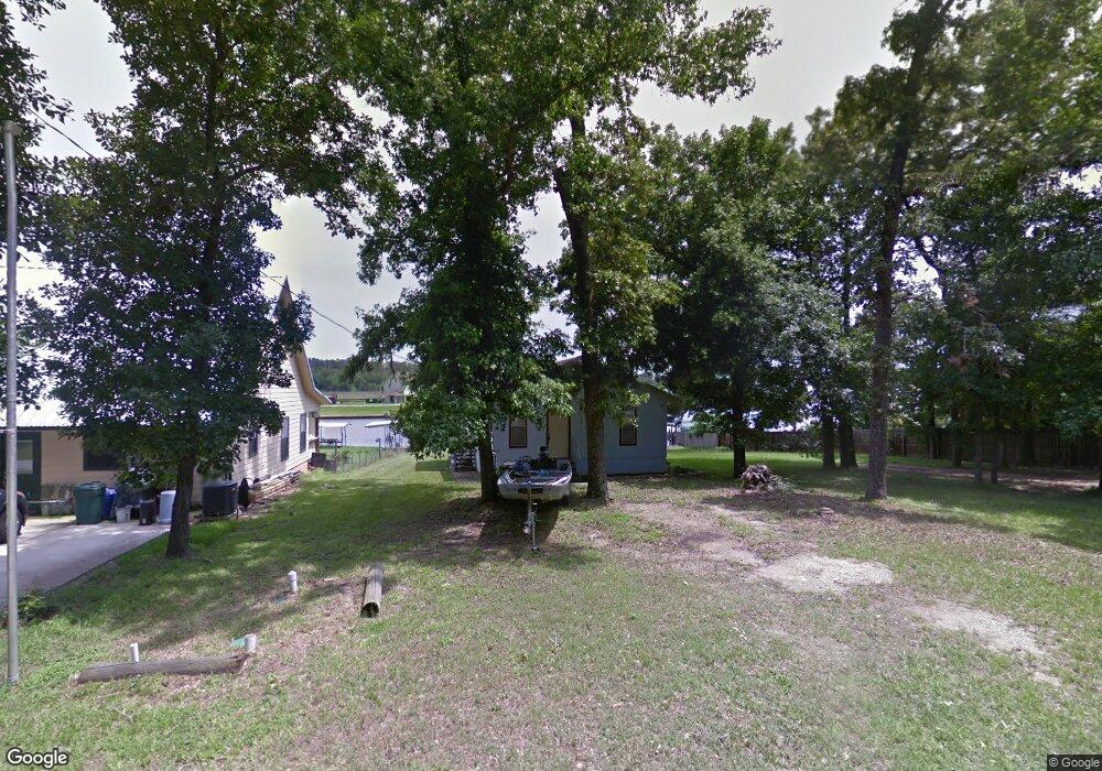
74 Magnolia Dr Huntsville, TX 77340
Estimated Value: $163,603 - $236,000
3
Beds
2
Baths
1,179
Sq Ft
$159/Sq Ft
Est. Value
About This Home
This home is located at 74 Magnolia Dr, Huntsville, TX 77340 and is currently estimated at $187,151, approximately $158 per square foot. 74 Magnolia Dr is a home located in Walker County with nearby schools including Samuel Houston Elementary School, Mance Park Middle School, and Huntsville Intermediate School.
Ownership History
Date
Name
Owned For
Owner Type
Purchase Details
Closed on
Sep 4, 2019
Sold by
Moore Kathryn Ann and The Estate Of Theresa M Kone
Bought by
Kone Paul M and Kone Tina Lawrence
Current Estimated Value
Home Financials for this Owner
Home Financials are based on the most recent Mortgage that was taken out on this home.
Original Mortgage
$144,000
Outstanding Balance
$126,390
Interest Rate
3.7%
Mortgage Type
New Conventional
Estimated Equity
$60,761
Purchase Details
Closed on
Apr 16, 2014
Sold by
Early Victor J
Bought by
Novark Mary Vela
Create a Home Valuation Report for This Property
The Home Valuation Report is an in-depth analysis detailing your home's value as well as a comparison with similar homes in the area
Home Values in the Area
Average Home Value in this Area
Purchase History
| Date | Buyer | Sale Price | Title Company |
|---|---|---|---|
| Kone Paul M | -- | Walker County Title Company | |
| Novark Mary Vela | -- | None Available |
Source: Public Records
Mortgage History
| Date | Status | Borrower | Loan Amount |
|---|---|---|---|
| Open | Kone Paul M | $144,000 |
Source: Public Records
Tax History Compared to Growth
Tax History
| Year | Tax Paid | Tax Assessment Tax Assessment Total Assessment is a certain percentage of the fair market value that is determined by local assessors to be the total taxable value of land and additions on the property. | Land | Improvement |
|---|---|---|---|---|
| 2024 | $1,950 | $129,790 | $37,500 | $92,290 |
| 2023 | $1,950 | $133,450 | $37,500 | $95,950 |
| 2022 | $2,027 | $119,660 | $37,500 | $82,160 |
| 2021 | $1,908 | $110,150 | $37,500 | $72,650 |
| 2020 | $1,885 | $103,820 | $34,000 | $69,820 |
| 2019 | $2,015 | $103,680 | $34,000 | $69,680 |
| 2018 | $2,134 | $107,400 | $38,000 | $69,400 |
| 2017 | $2,045 | $100,710 | $38,000 | $62,710 |
| 2016 | $1,628 | $80,170 | $22,800 | $57,370 |
| 2015 | -- | $77,560 | $22,800 | $54,760 |
| 2014 | -- | $66,980 | $19,000 | $47,980 |
Source: Public Records
Map
Nearby Homes
- 0 Cedar Ct Unit 47715538
- 68 Cypress Bend
- 70 Cypress Bend
- 52 Cypress Bend
- 10 Oakwood Ln
- 15 Oakwood Ln
- 3 Cypress Bend
- 11 Lookout Ridge
- 18 Oakland Ct
- 4 Drywood Ln
- 13 Firewood Rd
- 37 Firewood Rd
- 2 Firewood Rd
- 1 Peninsula Point
- 7 Peninsula Point
- 50 Hunters Creek Dr
- 55 Hunters Creek Dr
- 52 Hunters Creek Dr
- 4 Firewood Rd
- 25 Firewood