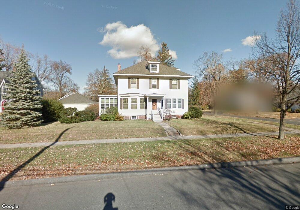
74 Maple Rd Longmeadow, MA 01106
Estimated Value: $430,000 - $531,000
4
Beds
2
Baths
2,191
Sq Ft
$211/Sq Ft
Est. Value
About This Home
This home is located at 74 Maple Rd, Longmeadow, MA 01106 and is currently estimated at $463,374, approximately $211 per square foot. 74 Maple Rd is a home located in Hampden County with nearby schools including Wolf Swamp Road School, Glenbrook Middle School, and Longmeadow High School.
Ownership History
Date
Name
Owned For
Owner Type
Purchase Details
Closed on
Mar 14, 2006
Sold by
Mcmahon John J and Mcmahon Debbie A
Bought by
Mcmahon Debbie A
Current Estimated Value
Home Financials for this Owner
Home Financials are based on the most recent Mortgage that was taken out on this home.
Original Mortgage
$207,000
Outstanding Balance
$116,850
Interest Rate
6.15%
Mortgage Type
Purchase Money Mortgage
Estimated Equity
$346,524
Purchase Details
Closed on
Aug 23, 1999
Sold by
Keator Bruce A and Keator Bridget C
Bought by
Mcmahon John J and Mcmahon Debbie A
Purchase Details
Closed on
Jun 2, 1995
Sold by
Williams George H and Williams Elizabeth T
Bought by
Keator Bruce A and Keator Bridget C
Create a Home Valuation Report for This Property
The Home Valuation Report is an in-depth analysis detailing your home's value as well as a comparison with similar homes in the area
Home Values in the Area
Average Home Value in this Area
Purchase History
| Date | Buyer | Sale Price | Title Company |
|---|---|---|---|
| Mcmahon Debbie A | -- | -- | |
| Mcmahon John J | $185,000 | -- | |
| Keator Bruce A | $160,000 | -- |
Source: Public Records
Mortgage History
| Date | Status | Borrower | Loan Amount |
|---|---|---|---|
| Open | Keator Bruce A | $10,000 | |
| Open | Mcmahon Debbie A | $207,000 | |
| Previous Owner | Keator Bruce A | $53,500 | |
| Previous Owner | Keator Bruce A | $168,000 |
Source: Public Records
Tax History
| Year | Tax Paid | Tax Assessment Tax Assessment Total Assessment is a certain percentage of the fair market value that is determined by local assessors to be the total taxable value of land and additions on the property. | Land | Improvement |
|---|---|---|---|---|
| 2025 | $7,531 | $356,600 | $143,100 | $213,500 |
| 2024 | $7,374 | $356,600 | $143,100 | $213,500 |
| 2023 | $6,491 | $283,200 | $99,000 | $184,200 |
| 2022 | $6,631 | $269,100 | $114,200 | $154,900 |
| 2021 | $6,561 | $265,200 | $116,100 | $149,100 |
| 2020 | $5,997 | $247,700 | $101,600 | $146,100 |
| 2019 | $6,177 | $256,400 | $108,800 | $147,600 |
| 2018 | $5,885 | $241,800 | $117,800 | $124,000 |
| 2017 | $5,702 | $241,800 | $117,800 | $124,000 |
| 2016 | $5,601 | $230,200 | $113,700 | $116,500 |
| 2015 | $5,409 | $229,000 | $112,500 | $116,500 |
Source: Public Records
Map
Nearby Homes
- 141 Lincoln Rd
- 79 Roosevelt Blvd
- 357 Maple Rd
- 24 Herbert St
- 27 Massachusetts Ave
- 0 Mill Rd
- 27 Booth St
- Lot 114 Bark Haul Rd
- 68 Hazardville Rd
- 11 Willard Ave
- 141 Longfellow Dr
- 70 Tennyson Dr
- 0 Dennis Rd
- 64 Brookwood Dr
- 31 Sharren Ln
- 449 The Meadows
- 2 Sharren Ln
- 53 Meadowlark Dr
- 63 Meadowlark Dr
- 35 Bernardino Ave
Your Personal Tour Guide
Ask me questions while you tour the home.