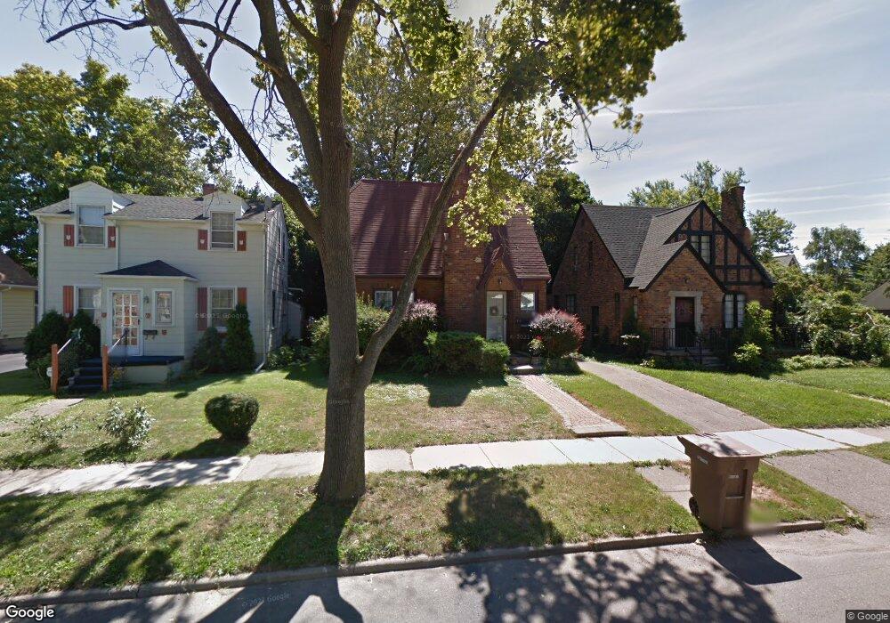
74 Mohawk Rd Pontiac, MI 48341
Estimated Value: $125,000 - $159,000
2
Beds
1
Bath
1,031
Sq Ft
$136/Sq Ft
Est. Value
About This Home
This home is located at 74 Mohawk Rd, Pontiac, MI 48341 and is currently estimated at $140,085, approximately $135 per square foot. 74 Mohawk Rd is a home located in Oakland County with nearby schools including Walt Whitman Elementary School, Pontiac Middle School, and Pontiac High School.
Ownership History
Date
Name
Owned For
Owner Type
Purchase Details
Closed on
Jan 27, 2025
Sold by
Caruso-Vonwerder Shelly
Bought by
Affect Consulting Llc
Current Estimated Value
Home Financials for this Owner
Home Financials are based on the most recent Mortgage that was taken out on this home.
Original Mortgage
$99,600
Interest Rate
6%
Mortgage Type
New Conventional
Purchase Details
Closed on
Dec 11, 2024
Sold by
Elaine L Keinert Trust and Vogel Roger H
Bought by
Vonwerder Mark and Caruso-Vonwerder Shelly
Home Financials for this Owner
Home Financials are based on the most recent Mortgage that was taken out on this home.
Original Mortgage
$99,600
Interest Rate
6%
Mortgage Type
New Conventional
Purchase Details
Closed on
Apr 4, 2016
Sold by
Keinert Elaine L
Bought by
Keinert Elaine L and The Elaine L Keinert Trust
Create a Home Valuation Report for This Property
The Home Valuation Report is an in-depth analysis detailing your home's value as well as a comparison with similar homes in the area
Home Values in the Area
Average Home Value in this Area
Purchase History
| Date | Buyer | Sale Price | Title Company |
|---|---|---|---|
| Affect Consulting Llc | -- | None Listed On Document | |
| Affect Consulting Llc | -- | None Listed On Document | |
| Caruso-Von Werder Shelly | -- | None Listed On Document | |
| Caruso-Von Werder Shelly | -- | None Listed On Document | |
| Vonwerder Mark | $124,500 | None Listed On Document | |
| Keinert Elaine L | -- | None Available |
Source: Public Records
Mortgage History
| Date | Status | Borrower | Loan Amount |
|---|---|---|---|
| Previous Owner | Vonwerder Mark | $99,600 |
Source: Public Records
Tax History
| Year | Tax Paid | Tax Assessment Tax Assessment Total Assessment is a certain percentage of the fair market value that is determined by local assessors to be the total taxable value of land and additions on the property. | Land | Improvement |
|---|---|---|---|---|
| 2025 | $910 | $69,720 | $0 | $0 |
| 2024 | $796 | $64,330 | $0 | $0 |
| 2023 | $758 | $56,800 | $0 | $0 |
| 2022 | $800 | $45,990 | $0 | $0 |
| 2021 | $779 | $37,680 | $0 | $0 |
| 2020 | $1,030 | $32,330 | $0 | $0 |
| 2019 | $753 | $27,830 | $0 | $0 |
| 2018 | $720 | $25,330 | $0 | $0 |
| 2017 | $683 | $23,370 | $0 | $0 |
| 2016 | $709 | $22,820 | $0 | $0 |
| 2015 | -- | $19,510 | $0 | $0 |
| 2014 | -- | $17,640 | $0 | $0 |
| 2011 | -- | $28,850 | $0 | $0 |
Source: Public Records
Map
Nearby Homes
- 832 W Huron St
- 78 Newberry St
- 305 Liberty St
- 933 Myrtle Ave
- V/L W Huron St
- 122 N Tilden Ave
- 247 Lasseigne St
- 253 Lasseigne St
- 94 Dwight Ave
- 642 Lydia Ln Unit 54
- 160 Chippewa Rd
- 729 W Margaret Ln Unit 212
- 142 Ottawa Dr
- 150 N Josephine Ave
- 10 Wenonah Dr
- 143 Thorpe St
- 1030 Menominee Rd
- 403 Voorheis St
- 984 Voorheis Rd
- 738 Arusha Dr
Your Personal Tour Guide
Ask me questions while you tour the home.