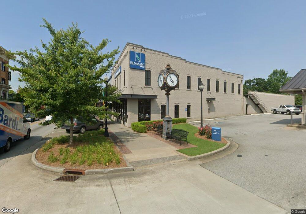
74 N Broad St Unit C Winder, GA 30680
Estimated Value: $498,422
--
Bed
--
Bath
4,680
Sq Ft
$107/Sq Ft
Est. Value
About This Home
This home is located at 74 N Broad St Unit C, Winder, GA 30680 and is currently estimated at $498,422, approximately $106 per square foot. 74 N Broad St Unit C is a home located in Barrow County with nearby schools including County Line Elementary School, Russell Middle School, and Winder-Barrow High School.
Ownership History
Date
Name
Owned For
Owner Type
Purchase Details
Closed on
Sep 1, 2022
Sold by
Trieri Llc
Bought by
Jmaac Llc
Current Estimated Value
Home Financials for this Owner
Home Financials are based on the most recent Mortgage that was taken out on this home.
Original Mortgage
$360,000
Interest Rate
4.99%
Mortgage Type
Mortgage Modification
Purchase Details
Closed on
Jan 18, 2018
Sold by
Trier Dennis D
Bought by
Trieri Llc
Purchase Details
Closed on
May 27, 2011
Sold by
Cbt
Bought by
Trier Dennis D
Home Financials for this Owner
Home Financials are based on the most recent Mortgage that was taken out on this home.
Original Mortgage
$70,000
Interest Rate
4.79%
Mortgage Type
Commercial
Create a Home Valuation Report for This Property
The Home Valuation Report is an in-depth analysis detailing your home's value as well as a comparison with similar homes in the area
Home Values in the Area
Average Home Value in this Area
Purchase History
| Date | Buyer | Sale Price | Title Company |
|---|---|---|---|
| Jmaac Llc | $450,000 | -- | |
| Trieri Llc | -- | -- | |
| Trier Dennis D | $130,000 | -- |
Source: Public Records
Mortgage History
| Date | Status | Borrower | Loan Amount |
|---|---|---|---|
| Closed | Jmaac Llc | $360,000 | |
| Previous Owner | Trier Dennis D | $70,000 |
Source: Public Records
Tax History Compared to Growth
Tax History
| Year | Tax Paid | Tax Assessment Tax Assessment Total Assessment is a certain percentage of the fair market value that is determined by local assessors to be the total taxable value of land and additions on the property. | Land | Improvement |
|---|---|---|---|---|
| 2024 | $2,929 | $104,058 | $9,600 | $94,458 |
| 2023 | $2,923 | $104,058 | $9,600 | $94,458 |
| 2022 | $3,447 | $104,058 | $9,600 | $94,458 |
| 2021 | $2,669 | $75,359 | $20,000 | $55,359 |
| 2020 | $2,552 | $75,359 | $20,000 | $55,359 |
| 2019 | $2,588 | $75,359 | $20,000 | $55,359 |
| 2018 | $2,582 | $75,359 | $20,000 | $55,359 |
| 2017 | $2,160 | $72,396 | $20,000 | $52,396 |
| 2016 | $2,123 | $62,756 | $20,000 | $42,756 |
| 2015 | $2,126 | $62,756 | $20,000 | $42,756 |
| 2014 | $1,845 | $53,956 | $11,200 | $42,756 |
| 2013 | -- | $61,823 | $9,800 | $52,023 |
Source: Public Records
Map
Nearby Homes
- 0 Georgia Highway 211 Unit 7483562
- 0 W Athens St Unit 10544465
- 92 Woodlawn Ave
- 116 N Broad St
- 102 N Center St
- 19 Holland Cove
- 25 Holland Cove
- 15 E New St
- 122 Capitol Ave
- 253 3rd Ave
- 18 E New St
- 0 Jerome St Unit 7439149
- 0 Jerome St Unit 10359679
- 209 Georgia Ave
- 17 W Wright St
- 217 Bellview St
- 120 N Williamson St
- 256 4th Ave
- 311 2nd Ave
- 188 Melrose St
- 74 N Broad St
- 74 N Broad St Unit B
- 74 N Broad St Unit A
- 74 N Broad St Unit D
- 70 N Broad St
- 64 N Broad St
- 71 N Broad St
- 0 Georgia Highway 211 Unit 8686213
- 0 Georgia Highway 211 Unit 7206963
- 0 Georgia Highway 211 Unit 3063042
- 0 Georgia Highway 211 Unit 8829624
- 0 Georgia Highway 211 Unit 4128369
- 000 Georgia Highway 211
- 0 Georgia Highway 211 Unit 5677633
- 0 Georgia Highway 211 Unit 5761761
- 0 Georgia Highway 211 Unit 6829369
- 007 Georgia Highway 211
- 008 Georgia Highway 211
- 0 Georgia Highway 211 Unit 8736868
- 0 Georgia Highway 211 Unit 6680951