74 Perry Hill Rd Shelton, CT 06484
Estimated Value: $873,000 - $959,000
4
Beds
4
Baths
3,431
Sq Ft
$267/Sq Ft
Est. Value
About This Home
This home is located at 74 Perry Hill Rd, Shelton, CT 06484 and is currently estimated at $915,132, approximately $266 per square foot. 74 Perry Hill Rd is a home located in Fairfield County with nearby schools including Perry Hill School, Elizabeth Shelton Elementary School, and Shelton Intermediate School.
Ownership History
Date
Name
Owned For
Owner Type
Purchase Details
Closed on
Mar 5, 2002
Sold by
Homeland Dev Llc
Bought by
Zpooi John and Zoppi Michele M
Current Estimated Value
Home Financials for this Owner
Home Financials are based on the most recent Mortgage that was taken out on this home.
Original Mortgage
$300,000
Interest Rate
6.85%
Create a Home Valuation Report for This Property
The Home Valuation Report is an in-depth analysis detailing your home's value as well as a comparison with similar homes in the area
Home Values in the Area
Average Home Value in this Area
Purchase History
| Date | Buyer | Sale Price | Title Company |
|---|---|---|---|
| Zpooi John | $445,000 | -- | |
| Zpooi John | $445,000 | -- |
Source: Public Records
Mortgage History
| Date | Status | Borrower | Loan Amount |
|---|---|---|---|
| Open | Zpooi John | $370,000 | |
| Closed | Zpooi John | $215,855 | |
| Closed | Zpooi John | $300,000 | |
| Closed | Zpooi John | $300,000 |
Source: Public Records
Tax History Compared to Growth
Tax History
| Year | Tax Paid | Tax Assessment Tax Assessment Total Assessment is a certain percentage of the fair market value that is determined by local assessors to be the total taxable value of land and additions on the property. | Land | Improvement |
|---|---|---|---|---|
| 2025 | $9,695 | $515,130 | $171,780 | $343,350 |
| 2024 | $9,880 | $515,130 | $171,780 | $343,350 |
| 2023 | $8,999 | $515,130 | $171,780 | $343,350 |
| 2022 | $9,009 | $515,690 | $171,780 | $343,910 |
| 2021 | $8,580 | $389,480 | $141,190 | $248,290 |
| 2020 | $8,732 | $389,480 | $141,190 | $248,290 |
| 2019 | $8,732 | $389,480 | $141,190 | $248,290 |
| 2017 | $8,650 | $389,480 | $141,190 | $248,290 |
| 2015 | $8,702 | $390,040 | $122,570 | $267,470 |
| 2014 | $8,702 | $390,040 | $122,570 | $267,470 |
Source: Public Records
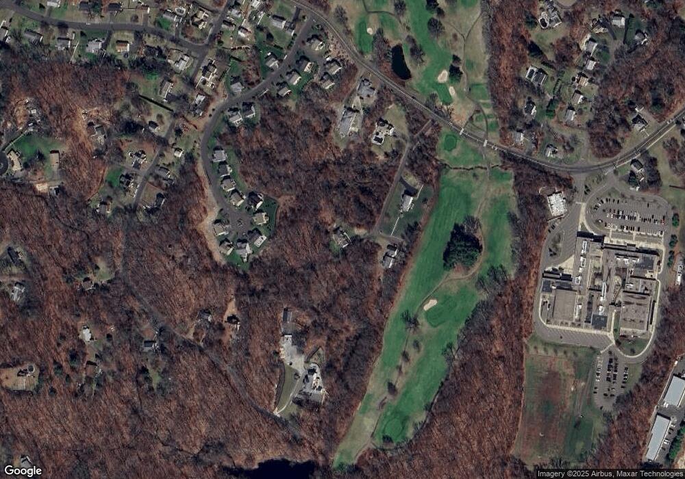
Map
Nearby Homes
- 2 Congress Ave
- 58 Kings Hwy
- 10 Colonial Village
- 125 Oak Ave
- 18 Cliff St
- 51 Shelton Ave
- 93 Shelton Ave
- 27 Meadow Lake Dr
- 16 Union St
- 2 Laurel Ln
- 56 Wakelee Avenue Extension Unit 53
- 25 Gilbert St
- 61 Basking Brook Ln
- 46 West St
- 18 Brook St
- 145 Canal St Unit 118
- 145 Canal St Unit 312
- 50 Kneen St
- 0 Riverview Ave
- 255 Canal St E
- 72 Perry Hill Rd
- 70 Perry Hill Rd
- 14 Sylvesters Way
- 15 Sylvesters Way
- 13 Sylvesters Way
- 16 Sylvester's Way
- 78 Perry Hill Rd
- 12 Sylvesters Way
- 17 Sylvesters Way Unit 17
- 80 Perry Hill Rd
- 80 Perry Hill Rd Unit 82B
- 80 Perry Hill Rd Unit 18
- 11 Sylvesters Way
- 18 Sylvester's Way
- 18 Sylvester's Way Unit 18
- 84 Walnut Ave
- 9 Sylvesters Way
- 100 Walnut Ave
- 7 Sylvesters Way
- 6 Sylvesters Way