74 Pete Paul Rd Deville, LA 71328
Deville NeighborhoodEstimated Value: $162,000 - $210,000
3
Beds
2
Baths
1,500
Sq Ft
$121/Sq Ft
Est. Value
About This Home
This home is located at 74 Pete Paul Rd, Deville, LA 71328 and is currently estimated at $181,766, approximately $121 per square foot. 74 Pete Paul Rd is a home located in Rapides Parish with nearby schools including Buckeye Elementary School, Hayden R. Lawrence Upper Elementary School, and Buckeye High School.
Ownership History
Date
Name
Owned For
Owner Type
Purchase Details
Closed on
Aug 24, 2009
Sold by
Brent Jared and Wiggins Jill Therese Nicholas
Bought by
Lamar Normand Richard and Gordon Normand Bessie Irene
Current Estimated Value
Home Financials for this Owner
Home Financials are based on the most recent Mortgage that was taken out on this home.
Original Mortgage
$118,320
Outstanding Balance
$77,106
Interest Rate
5.2%
Mortgage Type
New Conventional
Estimated Equity
$104,660
Create a Home Valuation Report for This Property
The Home Valuation Report is an in-depth analysis detailing your home's value as well as a comparison with similar homes in the area
Home Values in the Area
Average Home Value in this Area
Purchase History
| Date | Buyer | Sale Price | Title Company |
|---|---|---|---|
| Lamar Normand Richard | $116,000 | None Available |
Source: Public Records
Mortgage History
| Date | Status | Borrower | Loan Amount |
|---|---|---|---|
| Open | Lamar Normand Richard | $118,320 |
Source: Public Records
Tax History
| Year | Tax Paid | Tax Assessment Tax Assessment Total Assessment is a certain percentage of the fair market value that is determined by local assessors to be the total taxable value of land and additions on the property. | Land | Improvement |
|---|---|---|---|---|
| 2024 | $692 | $13,500 | $1,200 | $12,300 |
| 2023 | $619 | $12,800 | $1,100 | $11,700 |
| 2022 | $1,501 | $12,800 | $1,100 | $11,700 |
| 2021 | $1,488 | $12,800 | $1,100 | $11,700 |
| 2020 | $1,731 | $12,800 | $1,100 | $11,700 |
| 2019 | $1,615 | $12,000 | $1,000 | $11,000 |
| 2018 | $643 | $12,000 | $1,000 | $11,000 |
| 2017 | $665 | $12,000 | $1,000 | $11,000 |
| 2016 | $1,822 | $12,000 | $1,000 | $11,000 |
| 2015 | $1,773 | $11,600 | $1,000 | $10,600 |
| 2014 | $1,773 | $11,600 | $1,000 | $10,600 |
| 2013 | $1,903 | $11,600 | $1,000 | $10,600 |
Source: Public Records
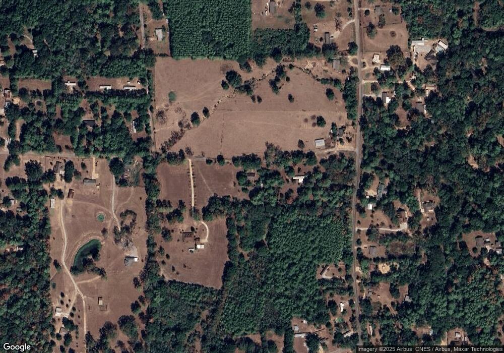
Map
Nearby Homes
- 0 Louisiana 1206
- 1174 Louisiana 115
- 7223 Deville Estates Dr
- TBD Deville Estates Dr
- 7259 Deville Estates Dr
- Lot 19 Deville Estates Dr Unit 19
- 7260 Deville Estates Dr
- Lot 18 Deville Estates Dr Unit 18
- 7265 Deville Estates Dr
- 0 Donnie Price Rd
- 0 Paul Rd
- TBD Paul Rd
- 0 Louisiana 115 Unit 2517300
- 0 Highway 1207
- 0 Louisiana 1207
- TBD Hwy 115
- 57 Deville Cutoff Rd
- 1275 Louisiana 115
- 35 Trudy Rd
- 96 Bell Rd
- 54 Pete Paul Rd
- 80 Pete Paul Rd
- 280 Highway 1206
- 280 Highway 1206
- 280 Highway 1206
- 280 Highway 1206
- 280 Highway 1206
- 6 Free Rd
- 42 Pete Paul Rd
- 305 Highway 1206
- 329 Louisiana 1206
- 329 Highway 1206
- 335 Highway 1206
- 313 Highway 1206
- 7 Free Rd
- 321 Highway 1206
- 337 Highway 1206
- 281 Highway 1206
- 325 Highway 1206
- 117 Saint Clair Ryder Rd
Your Personal Tour Guide
Ask me questions while you tour the home.