Estimated Value: $132,871 - $155,000
Studio
1
Bath
1,016
Sq Ft
$141/Sq Ft
Est. Value
About This Home
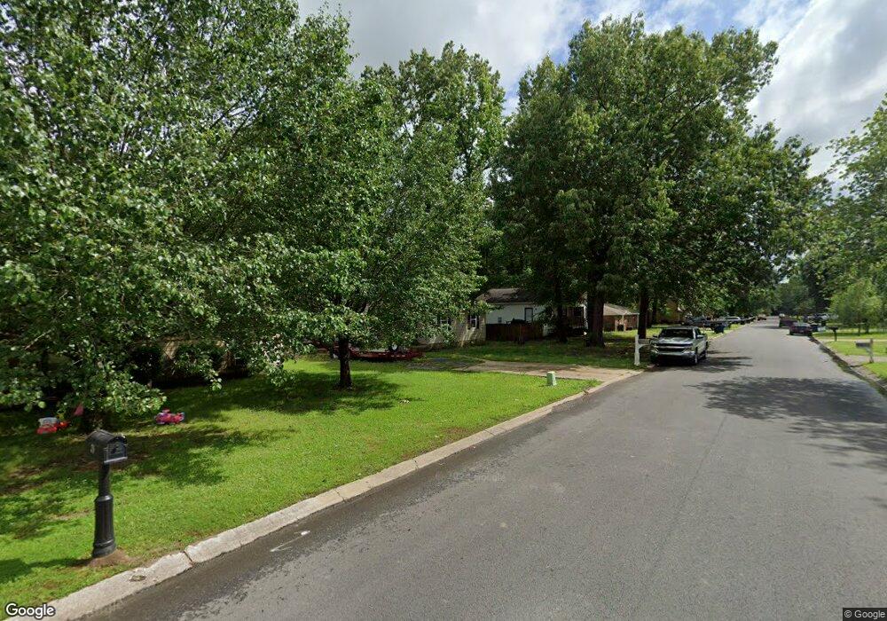
This home is located at 74 Pheasant Run Dr, Cabot, AR 72023 and is currently estimated at $143,468, approximately $141 per square foot. 74 Pheasant Run Dr is a home located in Lonoke County with nearby schools including Westside Elementary School, Cabot Junior High South, and Cabot Middle School South.
Ownership History
Date
Name
Owned For
Owner Type
Purchase Details
Closed on
Jan 26, 2017
Sold by
The C Strret Group Llc
Bought by
Smith Allen and Smith Pamela Lynn
Current Estimated Value
Purchase Details
Closed on
Sep 3, 2015
Sold by
Oglesby Deborah
Bought by
Habitat For Humanity Of Pulaski County I
Purchase Details
Closed on
Apr 29, 2003
Bought by
Minard
Purchase Details
Closed on
Aug 6, 2001
Bought by
Lon Co Habitat Humanity
Purchase Details
Closed on
Jun 14, 1993
Bought by
Smith
Create a Home Valuation Report for This Property
The Home Valuation Report is an in-depth analysis detailing your home's value as well as a comparison with similar homes in the area
Purchase History
| Date | Buyer | Sale Price | Title Company |
|---|---|---|---|
| Smith Allen | $25,000 | American Abstract And Title | |
| Habitat For Humanity Of Pulaski County I | -- | None Available | |
| Minard | -- | -- | |
| Lon Co Habitat Humanity | $8,000 | -- | |
| Lon Co Habitat Humanity | $8,000 | -- | |
| Smith | $11,000 | -- |
Source: Public Records
Tax History
| Year | Tax Paid | Tax Assessment Tax Assessment Total Assessment is a certain percentage of the fair market value that is determined by local assessors to be the total taxable value of land and additions on the property. | Land | Improvement |
|---|---|---|---|---|
| 2025 | $601 | $11,800 | $2,000 | $9,800 |
| 2024 | $601 | $11,800 | $2,000 | $9,800 |
| 2023 | $601 | $11,800 | $2,000 | $9,800 |
| 2022 | $601 | $11,800 | $2,000 | $9,800 |
| 2021 | $601 | $11,800 | $2,000 | $9,800 |
| 2020 | $571 | $11,210 | $2,000 | $9,210 |
| 2019 | $571 | $11,210 | $2,000 | $9,210 |
| 2018 | $554 | $11,210 | $2,000 | $9,210 |
| 2017 | $515 | $11,210 | $2,000 | $9,210 |
| 2016 | $554 | $11,210 | $2,000 | $9,210 |
| 2015 | $256 | $12,270 | $2,000 | $10,270 |
| 2014 | $256 | $12,270 | $2,000 | $10,270 |
Source: Public Records
Map
Nearby Homes
- 20 Paige Ave
- 28 Pheasant Run Dr
- 92 Sycamore Cir
- 49 Oak Meadows Dr
- 37 Saint John St
- 00 Kerr Station Rd
- 34 Bent Tree Dr
- 30 Mcarthur Dr
- 40 Bent Tree Dr
- 57 Meadowlark Dr
- 51 Meadowlark Dr
- 12 Bellaire Dr
- 19 Trinity Dr
- 2213 S 2nd St
- 16 Meadowlark Dr
- 64 Saint John St
- 51 Nevada Ln
- 115 Rodney Guthrie Dr
- 37 Pond St
- 39 Nevada Ln
- 72 Pheasant Run Dr
- 76 Pheasant Run Dr
- 78 Pheasant Run Dr
- 63 Pheasant Run Dr
- 65 Pheasant Run Dr
- 61 Pheasant Run Dr
- 68 Pheasant Run Dr
- 59 Pheasant Run Dr
- 67 Pheasant Run Dr
- 0 Pheasant Run
- 80 Pheasant Run Dr
- 69 Pheasant Run Dr
- 57 Pheasant Run Dr
- 30 Paige Ave
- 32 Paige Ave
- 28 Paige Ave
- 82 Pheasant Run Dr
- 34 Paige Ave
- 26 Paige Ave
- 0 Paige Ave
Your Personal Tour Guide
Ask me questions while you tour the home.