74 Puritan Ln Sudbury, MA 01776
Estimated Value: $1,119,000 - $1,345,000
4
Beds
2
Baths
2,695
Sq Ft
$454/Sq Ft
Est. Value
About This Home
This home is located at 74 Puritan Ln, Sudbury, MA 01776 and is currently estimated at $1,222,835, approximately $453 per square foot. 74 Puritan Ln is a home located in Middlesex County with nearby schools including Peter Noyes Elementary School, Ephraim Curtis Middle School, and Lincoln-Sudbury Regional High School.
Ownership History
Date
Name
Owned For
Owner Type
Purchase Details
Closed on
Jun 18, 2018
Sold by
Marshall Kathleen E
Bought by
Marshall Paul and Marshall Kathleen
Current Estimated Value
Purchase Details
Closed on
Jun 13, 1966
Bought by
Marshall Paul C and Marshall Kathleen E
Create a Home Valuation Report for This Property
The Home Valuation Report is an in-depth analysis detailing your home's value as well as a comparison with similar homes in the area
Home Values in the Area
Average Home Value in this Area
Purchase History
| Date | Buyer | Sale Price | Title Company |
|---|---|---|---|
| Marshall Paul | -- | -- | |
| Marshall Paul C | -- | -- |
Source: Public Records
Mortgage History
| Date | Status | Borrower | Loan Amount |
|---|---|---|---|
| Previous Owner | Marshall Paul C | $187,450 |
Source: Public Records
Tax History Compared to Growth
Tax History
| Year | Tax Paid | Tax Assessment Tax Assessment Total Assessment is a certain percentage of the fair market value that is determined by local assessors to be the total taxable value of land and additions on the property. | Land | Improvement |
|---|---|---|---|---|
| 2025 | $13,358 | $912,400 | $470,400 | $442,000 |
| 2024 | $12,936 | $885,400 | $456,800 | $428,600 |
| 2023 | $12,247 | $776,600 | $423,600 | $353,000 |
| 2022 | $11,940 | $661,500 | $389,200 | $272,300 |
| 2021 | $11,725 | $622,700 | $389,200 | $233,500 |
| 2020 | $11,489 | $622,700 | $389,200 | $233,500 |
| 2019 | $11,000 | $614,200 | $389,200 | $225,000 |
| 2018 | $10,966 | $611,600 | $409,200 | $202,400 |
| 2017 | $10,465 | $589,900 | $404,400 | $185,500 |
| 2016 | $10,191 | $572,500 | $389,200 | $183,300 |
| 2015 | $10,227 | $581,100 | $374,400 | $206,700 |
| 2014 | $10,200 | $565,700 | $363,600 | $202,100 |
Source: Public Records
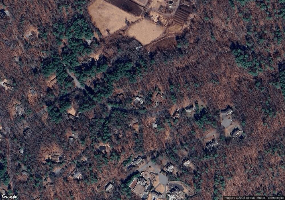
Map
Nearby Homes
- 4 Kato Summit
- 7 Nashoba Rd
- 20 Kato Dr
- 10 Bradley Place
- 268 Old Sudbury Rd
- 23 Massasoit Ave
- 271 Landham Rd
- 377 Concord Rd
- 270 Old Lancaster Rd
- 210 Plympton Rd
- 427 Concord Rd
- 1011 Boston Post Rd
- 447 Peakham Rd
- 20 Shadow Oak Dr
- 89 Bridle Path
- 45 Anselm Way
- 22 Glezen Ln
- 40 Tall Pine Dr Unit 12
- 0 Wagonwheel Rd
- 63 Landham Rd