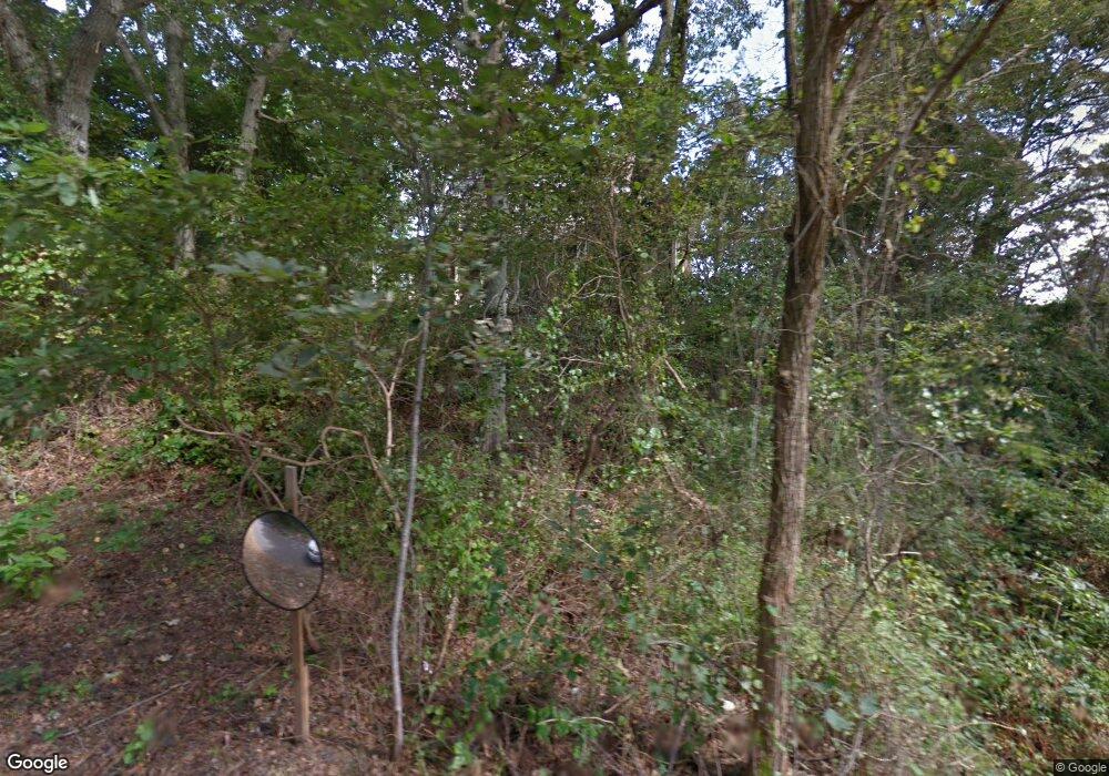
74 Ransom Rd Falmouth, MA 02540
Falmouth Village NeighborhoodEstimated Value: $1,880,000 - $2,935,000
5
Beds
3
Baths
1,801
Sq Ft
$1,352/Sq Ft
Est. Value
About This Home
This home is located at 74 Ransom Rd, Falmouth, MA 02540 and is currently estimated at $2,434,133, approximately $1,351 per square foot. 74 Ransom Rd is a home located in Barnstable County with nearby schools including Mullen-Hall School, Lawrence School, and Morse Pond School.
Ownership History
Date
Name
Owned For
Owner Type
Purchase Details
Closed on
Feb 16, 2023
Sold by
Kerfoot Christopher and Kerfoot Manal
Bought by
Chris & Manal Kerfoot Ft and Kerfoot
Current Estimated Value
Purchase Details
Closed on
Jun 29, 2021
Sold by
Gail A O Keefe Lt and Okeefe
Bought by
Kerfoot Christopher and Kerfoot Manal
Purchase Details
Closed on
Jan 28, 2013
Sold by
Melton Douglas A and Okeefe Gail A
Bought by
Gail A Okeefe Lt and Okeefe
Purchase Details
Closed on
Aug 4, 1999
Sold by
Hocker Lon O and Hocker Carol A
Bought by
Melton Douglas A and Okeefe Gail A
Purchase Details
Closed on
Apr 14, 1992
Sold by
Emery Kenneth O
Bought by
Hocker Lon O and Hocker Ellen G
Create a Home Valuation Report for This Property
The Home Valuation Report is an in-depth analysis detailing your home's value as well as a comparison with similar homes in the area
Home Values in the Area
Average Home Value in this Area
Purchase History
| Date | Buyer | Sale Price | Title Company |
|---|---|---|---|
| Chris & Manal Kerfoot Ft | -- | None Available | |
| Kerfoot Christopher | $2,000,000 | None Available | |
| Gail A Okeefe Lt | -- | -- | |
| Gail A Okeefe Lt | -- | -- | |
| Melton Douglas A | $615,000 | -- | |
| Melton Douglas A | $615,000 | -- | |
| Hocker Lon O | $400,000 | -- | |
| Hocker Lon O | $400,000 | -- |
Source: Public Records
Tax History Compared to Growth
Tax History
| Year | Tax Paid | Tax Assessment Tax Assessment Total Assessment is a certain percentage of the fair market value that is determined by local assessors to be the total taxable value of land and additions on the property. | Land | Improvement |
|---|---|---|---|---|
| 2025 | $15,020 | $2,558,800 | $991,200 | $1,567,600 |
| 2024 | $14,376 | $2,289,200 | $901,100 | $1,388,100 |
| 2023 | $13,592 | $1,964,100 | $666,000 | $1,298,100 |
| 2022 | $14,335 | $1,780,800 | $607,300 | $1,173,500 |
| 2021 | $14,912 | $1,754,400 | $580,900 | $1,173,500 |
| 2020 | $14,617 | $1,701,600 | $528,100 | $1,173,500 |
| 2019 | $13,994 | $1,634,800 | $528,100 | $1,106,700 |
| 2018 | $13,523 | $1,588,300 | $528,100 | $1,060,200 |
| 2017 | $13,808 | $1,618,800 | $528,100 | $1,090,700 |
| 2016 | $13,549 | $1,618,800 | $528,100 | $1,090,700 |
| 2015 | $12,991 | $1,586,200 | $528,100 | $1,058,100 |
| 2014 | $11,561 | $1,418,500 | $550,000 | $868,500 |
Source: Public Records
Map
Nearby Homes
- 58 Landfall
- 38 Landfall Unit 38
- 38 Landfall
- 86 Ships Watch
- 71 Oyster Pond Rd
- 251 Woods Hole Rd
- 87 Oyster Pond Rd
- 44 Carey Ln
- 63 Two Ponds Rd
- 13 Two Ponds Rd
- 112 Racing Beach Ave
- 21 Haynes Ave
- 27 Upland Ave
- 76 F r Lillie Rd
- 71 Main St
- 98 Main St
- 98 Main St Unit 1
- 57 Meadow Ln
- 29 Wilson Rd
- 133 Mariners Ln
- 71 Ransom Rd
- 65 Ransom Rd
- 56 Landfall
- 54 Landfall
- 52 Landfall
- 54 Landfall Unit 7-2
- 54 Landfall Unit 54
- 84 Ransom Rd
- 66 Landfall
- 64 Landfall
- 62 Landfall
- 60 Landfall
- 64 Landfall Unit 64
- 60 Landfall Unit 60
- 66 Landfall Unit 66
- 64 Landfall Unit 8-3
- 66 Landfall Unit 9-1
- 60 Landfall Unit 1
- 0 Landfall Unit 36
- 61 Ransom Rd
