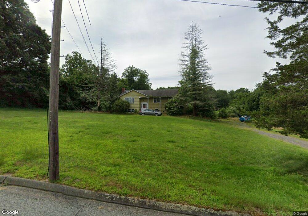
74 River Rd Preston, CT 06365
Estimated Value: $397,702 - $492,000
3
Beds
3
Baths
1,468
Sq Ft
$296/Sq Ft
Est. Value
About This Home
This home is located at 74 River Rd, Preston, CT 06365 and is currently estimated at $433,926, approximately $295 per square foot. 74 River Rd is a home located in New London County with nearby schools including St. Joseph School.
Ownership History
Date
Name
Owned For
Owner Type
Purchase Details
Closed on
May 31, 1996
Sold by
House Allen A
Bought by
Terry Shawn
Current Estimated Value
Home Financials for this Owner
Home Financials are based on the most recent Mortgage that was taken out on this home.
Original Mortgage
$90,000
Interest Rate
6.5%
Mortgage Type
Unknown
Purchase Details
Closed on
Oct 15, 1993
Sold by
Camera Neil G
Bought by
Allendale Realty
Home Financials for this Owner
Home Financials are based on the most recent Mortgage that was taken out on this home.
Original Mortgage
$60,000
Interest Rate
8%
Mortgage Type
Unknown
Create a Home Valuation Report for This Property
The Home Valuation Report is an in-depth analysis detailing your home's value as well as a comparison with similar homes in the area
Home Values in the Area
Average Home Value in this Area
Purchase History
| Date | Buyer | Sale Price | Title Company |
|---|---|---|---|
| Terry Shawn | $110,000 | -- | |
| Allendale Realty | $65,000 | -- |
Source: Public Records
Mortgage History
| Date | Status | Borrower | Loan Amount |
|---|---|---|---|
| Open | Allendale Realty | $125,000 | |
| Closed | Allendale Realty | $90,000 | |
| Previous Owner | Allendale Realty | $60,000 |
Source: Public Records
Tax History
| Year | Tax Paid | Tax Assessment Tax Assessment Total Assessment is a certain percentage of the fair market value that is determined by local assessors to be the total taxable value of land and additions on the property. | Land | Improvement |
|---|---|---|---|---|
| 2025 | $5,004 | $199,290 | $63,140 | $136,150 |
| 2024 | $4,657 | $199,290 | $63,140 | $136,150 |
| 2023 | $4,574 | $199,290 | $63,140 | $136,150 |
| 2022 | $3,644 | $130,700 | $48,400 | $82,300 |
| 2021 | $3,521 | $130,700 | $48,400 | $82,300 |
| 2020 | $3,516 | $130,700 | $48,400 | $82,300 |
| 2019 | $3,454 | $130,700 | $48,400 | $82,300 |
| 2018 | $3,402 | $130,700 | $48,400 | $82,300 |
| 2017 | $3,182 | $132,600 | $48,400 | $84,200 |
| 2016 | $3,149 | $132,600 | $48,400 | $84,200 |
| 2015 | $3,050 | $132,600 | $48,400 | $84,200 |
| 2014 | $3,068 | $132,600 | $48,400 | $84,200 |
Source: Public Records
Map
Nearby Homes
- 15 Tunnel Hill Ct Unit LOT 9
- 375 Old Jewett City Rd
- 5 Wilderness Acres
- 36 Blueberry Ln
- 19 Cedarcrest Dr
- 59 Long Society Rd
- 17 Mckay St
- 104 Norwich Ave
- 44 Norwich Ave Unit LOT 17
- 44 Norwich Ave Unit LOT 40
- 37-39 S B St
- 1 Long Society Rd
- 22-24 N A St
- 19 Laporte Dr
- 79 Roosevelt Ave
- 46-48 S A St
- 92 Hunters Ave
- 406 Central Ave Unit 408
- 136 Hunters Rd Unit LOT 148
- 13 Fontaine Ct
Your Personal Tour Guide
Ask me questions while you tour the home.