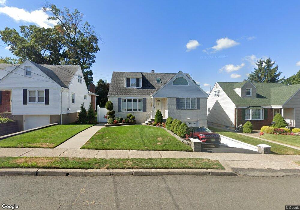
74 Roosevelt Ave Hasbrouck Heights, NJ 07604
Estimated Value: $699,000 - $804,000
3
Beds
2
Baths
2,128
Sq Ft
$356/Sq Ft
Est. Value
About This Home
This home is located at 74 Roosevelt Ave, Hasbrouck Heights, NJ 07604 and is currently estimated at $758,126, approximately $356 per square foot. 74 Roosevelt Ave is a home located in Bergen County with nearby schools including Hasbrouck Heights High School and Corpus Christi School.
Ownership History
Date
Name
Owned For
Owner Type
Purchase Details
Closed on
Jul 17, 2023
Sold by
Cole Hartley Patrick and Cole Randee
Bought by
Taveras Jose Francisco and Taveras Brenda
Current Estimated Value
Home Financials for this Owner
Home Financials are based on the most recent Mortgage that was taken out on this home.
Original Mortgage
$532,000
Outstanding Balance
$516,659
Interest Rate
5.75%
Mortgage Type
New Conventional
Estimated Equity
$241,467
Create a Home Valuation Report for This Property
The Home Valuation Report is an in-depth analysis detailing your home's value as well as a comparison with similar homes in the area
Home Values in the Area
Average Home Value in this Area
Purchase History
| Date | Buyer | Sale Price | Title Company |
|---|---|---|---|
| Taveras Jose Francisco | $665,000 | First American Title |
Source: Public Records
Mortgage History
| Date | Status | Borrower | Loan Amount |
|---|---|---|---|
| Open | Taveras Jose Francisco | $532,000 |
Source: Public Records
Tax History Compared to Growth
Tax History
| Year | Tax Paid | Tax Assessment Tax Assessment Total Assessment is a certain percentage of the fair market value that is determined by local assessors to be the total taxable value of land and additions on the property. | Land | Improvement |
|---|---|---|---|---|
| 2025 | $12,772 | $499,900 | $227,500 | $272,400 |
| 2024 | $12,089 | $499,900 | $227,500 | $272,400 |
| 2023 | $11,231 | $469,100 | $217,500 | $251,600 |
| 2022 | $11,231 | $417,200 | $200,000 | $217,200 |
| 2021 | $10,988 | $389,100 | $187,500 | $201,600 |
| 2020 | $10,526 | $366,000 | $177,500 | $188,500 |
| 2019 | $10,231 | $359,600 | $175,000 | $184,600 |
| 2018 | $10,076 | $353,300 | $172,500 | $180,800 |
| 2017 | $9,907 | $346,900 | $170,000 | $176,900 |
| 2016 | $9,931 | $327,200 | $160,000 | $167,200 |
| 2015 | $9,770 | $327,200 | $160,000 | $167,200 |
| 2014 | $9,502 | $327,200 | $160,000 | $167,200 |
Source: Public Records
Map
Nearby Homes
- 88 Roosevelt Dr
- 38 Springfield Ave
- 27 Roosevelt Dr
- 25 Roosevelt Dr
- 289 Valley Blvd Unit 1A
- 68 Wesmont Dr
- 68 Wesmont Dr Unit 3803
- 82 Wesmont Dr
- 102 Wesmont Dr
- 109 Wesmont Dr
- 243 Cleveland Ave
- 120 Wesmont Dr
- 289 Bradley Dr
- 432 Innes Rd
- 129 Eisenhower Ln Unit 2109
- 39 Arnold Dr
- 311 Harrison Ave
- 30 Woodside Ave
- 271 North Ave
- 181 Wood Ridge Ave
- 78 Roosevelt Ave
- 70 Roosevelt Ave
- 66 Roosevelt Ave
- 82 Roosevelt Ave
- 67 Lincoln Ave
- 77 Lincoln Ave
- 65 Lincoln Ave
- 62 Roosevelt Ave
- 73 Roosevelt Ave
- 15 Wood St
- 69 Roosevelt Dr
- 69 Roosevelt Ave
- 77 Roosevelt Ave
- 61 Lincoln Ave
- 85 Lincoln Ave
- 65 Roosevelt Ave
- 21 Wood St
- 81 Roosevelt Ave
- 54 Roosevelt Ave
- 57 Lincoln Ave