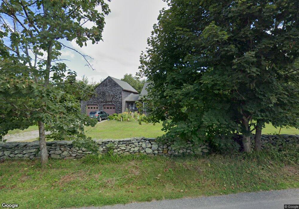
74 S Shore Rd Little Compton, RI 02837
Estimated Value: $776,351 - $907,000
2
Beds
2
Baths
1,663
Sq Ft
$517/Sq Ft
Est. Value
About This Home
This home is located at 74 S Shore Rd, Little Compton, RI 02837 and is currently estimated at $859,338, approximately $516 per square foot. 74 S Shore Rd is a home located in Newport County with nearby schools including Wilbur & McMahon School.
Ownership History
Date
Name
Owned For
Owner Type
Purchase Details
Closed on
Nov 30, 2017
Sold by
Sonia M Pollard 2011 R
Bought by
Rhoult-Pedotti Mengia S
Current Estimated Value
Purchase Details
Closed on
Mar 16, 2015
Sold by
Pollard Sonja M
Bought by
Sonja M Pollard Ret
Purchase Details
Closed on
Sep 14, 1988
Sold by
Temple Philip
Bought by
Pollard Sonja
Create a Home Valuation Report for This Property
The Home Valuation Report is an in-depth analysis detailing your home's value as well as a comparison with similar homes in the area
Home Values in the Area
Average Home Value in this Area
Purchase History
| Date | Buyer | Sale Price | Title Company |
|---|---|---|---|
| Rhoult-Pedotti Mengia S | $400,000 | -- | |
| Sonja M Pollard Ret | -- | -- | |
| Rhoult-Pedotti Mengia S | $400,000 | -- | |
| Sonja M Pollard Ret | -- | -- | |
| Pollard Sonja | $255,000 | -- |
Source: Public Records
Mortgage History
| Date | Status | Borrower | Loan Amount |
|---|---|---|---|
| Previous Owner | Pollard Sonja | $100,000 | |
| Previous Owner | Pollard Sonja | $153,500 | |
| Previous Owner | Pollard Sonja | $153,000 |
Source: Public Records
Tax History
| Year | Tax Paid | Tax Assessment Tax Assessment Total Assessment is a certain percentage of the fair market value that is determined by local assessors to be the total taxable value of land and additions on the property. | Land | Improvement |
|---|---|---|---|---|
| 2025 | $2,492 | $520,200 | $252,400 | $267,800 |
| 2024 | $2,341 | $460,900 | $219,500 | $241,400 |
| 2023 | $2,286 | $460,900 | $219,500 | $241,400 |
| 2022 | $2,540 | $518,300 | $219,500 | $298,800 |
| 2021 | $2,290 | $379,100 | $149,100 | $230,000 |
| 2020 | $2,271 | $379,100 | $149,100 | $230,000 |
| 2019 | $2,248 | $379,100 | $149,100 | $230,000 |
| 2018 | $2,418 | $405,700 | $161,000 | $244,700 |
| 2016 | $2,099 | $370,200 | $161,000 | $209,200 |
| 2015 | $2,186 | $380,200 | $162,700 | $217,500 |
| 2014 | $2,144 | $380,200 | $162,700 | $217,500 |
Source: Public Records
Map
Nearby Homes
- 89 S Shore Rd
- 30 Indian Rd
- 49 Ocean Dr
- 128 Maple Ave
- 141 S Of Commons Rd
- 255 John Dyer Rd
- 38 Old Bull Ln
- 0 Willow Ave
- 505 Long Hwy
- 141 Peckham Rd
- 441 W Main Rd
- 245 John Dyer Rd
- 1 Puddingstone Cir
- 180 W Main Rd
- 140I Long Hwy
- 140 Long Hwy
- 116 Amy Hart Path
- 17 Amy Hart Path
- 17 Ferolbink Way
- 155 W Main Rd
- 70 S Shore Rd
- 1 Clover Meadows Rd
- 2 Clover Meadows Rd
- 0 S Shore Rd
- 130 S Shore Rd
- 5 Tuniper Ln
- 40 S Shore Rd
- 3 Clover Meadows Rd
- 4 Clover Meadows Rd
- 5 Shaw Rd
- 85 S Shore Rd
- 4 Tuniper Ln
- 82 S Shore Rd
- 15 Tuniper Ln S
- 2 Indian Rd
- 6 Clover Meadows Rd
- 5 Clover Meadows Rd
- 11 Tuniper Ln N
- 5 Indian Rd
- 65 S Shore Rd
Your Personal Tour Guide
Ask me questions while you tour the home.