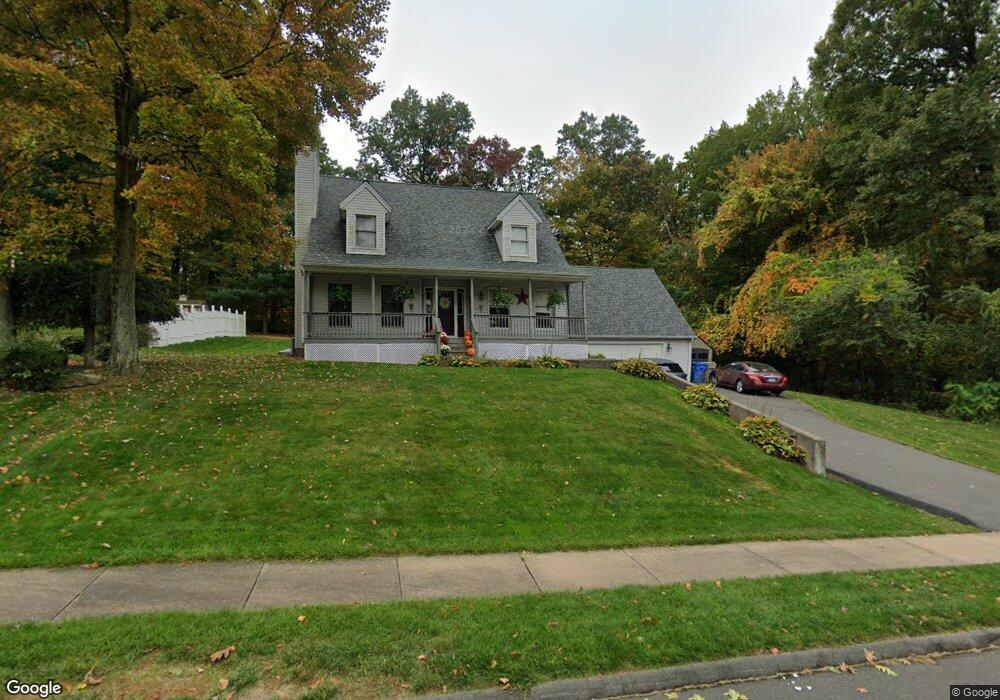
74 Sterling Way Bristol, CT 06010
Forestville NeighborhoodEstimated Value: $463,296 - $498,000
4
Beds
3
Baths
1,910
Sq Ft
$252/Sq Ft
Est. Value
About This Home
This home is located at 74 Sterling Way, Bristol, CT 06010 and is currently estimated at $482,074, approximately $252 per square foot. 74 Sterling Way is a home located in Hartford County with nearby schools including Bristol Central High School, St Matthew School, and St. Joseph School.
Ownership History
Date
Name
Owned For
Owner Type
Purchase Details
Closed on
May 17, 2002
Sold by
Sassu Michael J and Sassu Kristie M
Bought by
Chawner Craig and Chawner Rebecca
Current Estimated Value
Purchase Details
Closed on
Sep 27, 1996
Sold by
Orzechowski John and Orzechowski Christine
Bought by
Sassu Michael J and Sassu Kristie M
Create a Home Valuation Report for This Property
The Home Valuation Report is an in-depth analysis detailing your home's value as well as a comparison with similar homes in the area
Home Values in the Area
Average Home Value in this Area
Purchase History
| Date | Buyer | Sale Price | Title Company |
|---|---|---|---|
| Chawner Craig | $229,000 | -- | |
| Sassu Michael J | $164,000 | -- |
Source: Public Records
Mortgage History
| Date | Status | Borrower | Loan Amount |
|---|---|---|---|
| Open | Sassu Michael J | $192,000 | |
| Closed | Sassu Michael J | $55,300 | |
| Closed | Sassu Michael J | $200,800 |
Source: Public Records
Tax History Compared to Growth
Tax History
| Year | Tax Paid | Tax Assessment Tax Assessment Total Assessment is a certain percentage of the fair market value that is determined by local assessors to be the total taxable value of land and additions on the property. | Land | Improvement |
|---|---|---|---|---|
| 2025 | $8,037 | $238,140 | $63,000 | $175,140 |
| 2024 | $7,585 | $238,140 | $63,000 | $175,140 |
| 2023 | $7,228 | $238,140 | $63,000 | $175,140 |
| 2022 | $6,690 | $174,440 | $49,210 | $125,230 |
| 2021 | $6,690 | $174,440 | $49,210 | $125,230 |
| 2020 | $6,690 | $174,440 | $49,210 | $125,230 |
| 2019 | $6,637 | $174,440 | $49,210 | $125,230 |
| 2018 | $6,433 | $174,440 | $49,210 | $125,230 |
| 2017 | $5,745 | $159,460 | $52,080 | $107,380 |
| 2016 | $5,745 | $159,460 | $52,080 | $107,380 |
| 2015 | $5,519 | $159,460 | $52,080 | $107,380 |
| 2014 | $5,519 | $159,460 | $52,080 | $107,380 |
Source: Public Records
Map
Nearby Homes
- 84 Dino Rd
- 683 Pine St
- 63 Kenney St
- 430 Emmett St Unit L
- 424 Emmett St Unit K
- 426 Emmett St Unit N
- 426 Emmett St Unit L
- 371 Emmett St Unit 6
- 371 Emmett St Unit 48
- 279 Redstone Hill Rd Unit 75
- 143 Redstone St
- 429 Redstone Hill Rd
- 370 Emmett St Unit 5-5
- 370 Emmett St Unit 5-2
- 370 Emmett St Unit 5-1
- 370 Emmett St Unit 5-4
- 410 Emmett St Unit 76
- 25 Leon Rd
- 158 E Main St
- 155 Redstone Hill Rd Unit 35