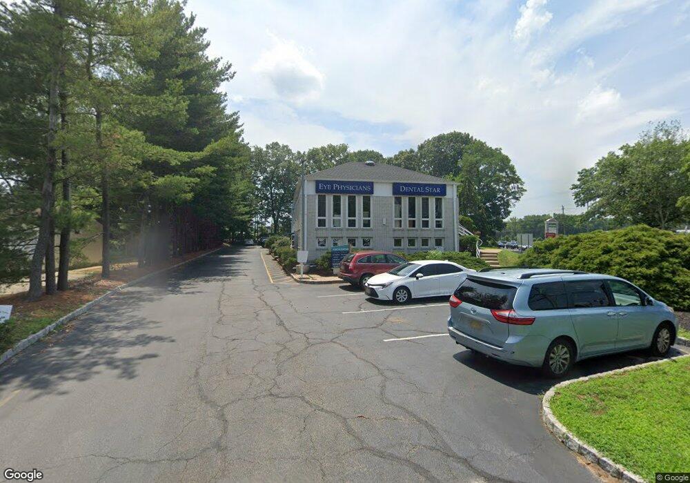
74 U S 9 Unit E Englishtown, NJ 07726
Estimated Value: $2,621,388
--
Bed
--
Bath
7,448
Sq Ft
$352/Sq Ft
Est. Value
About This Home
This home is located at 74 U S 9 Unit E, Englishtown, NJ 07726 and is currently estimated at $2,621,388, approximately $351 per square foot. 74 U S 9 Unit E is a home located in Monmouth County with nearby schools including Robertsville Elementary School, Marlboro Memorial Middle School, and Marlboro High School.
Ownership History
Date
Name
Owned For
Owner Type
Purchase Details
Closed on
Feb 3, 2021
Sold by
Atlantis Realty Associates Llc
Bought by
Clear Realty Llc
Current Estimated Value
Purchase Details
Closed on
Dec 5, 2002
Sold by
Braunstein Edward
Bought by
Atlantis Realty Assoc Llc
Home Financials for this Owner
Home Financials are based on the most recent Mortgage that was taken out on this home.
Original Mortgage
$1,040,000
Interest Rate
6.34%
Mortgage Type
Commercial
Create a Home Valuation Report for This Property
The Home Valuation Report is an in-depth analysis detailing your home's value as well as a comparison with similar homes in the area
Home Values in the Area
Average Home Value in this Area
Purchase History
| Date | Buyer | Sale Price | Title Company |
|---|---|---|---|
| Clear Realty Llc | $1,850,000 | Absolute Title Age Of Nj Llc | |
| Clear Realty Llc | $1,850,000 | Absolute Title | |
| Atlantis Realty Assoc Llc | $1,300,000 | -- |
Source: Public Records
Mortgage History
| Date | Status | Borrower | Loan Amount |
|---|---|---|---|
| Previous Owner | Atlantis Realty Assoc Llc | $1,040,000 |
Source: Public Records
Tax History Compared to Growth
Tax History
| Year | Tax Paid | Tax Assessment Tax Assessment Total Assessment is a certain percentage of the fair market value that is determined by local assessors to be the total taxable value of land and additions on the property. | Land | Improvement |
|---|---|---|---|---|
| 2025 | $28,785 | $1,150,000 | $686,700 | $463,300 |
| 2024 | $27,589 | $1,150,000 | $686,700 | $463,300 |
| 2023 | $27,589 | $1,150,000 | $686,700 | $463,300 |
| 2022 | $26,922 | $1,150,000 | $686,700 | $463,300 |
| 2021 | $26,623 | $1,150,000 | $686,700 | $463,300 |
| 2020 | $26,623 | $1,150,000 | $686,700 | $463,300 |
| 2019 | $26,623 | $1,150,000 | $686,700 | $463,300 |
| 2018 | $26,174 | $1,150,000 | $686,700 | $463,300 |
| 2017 | $25,645 | $1,150,000 | $686,700 | $463,300 |
| 2016 | $25,553 | $1,150,000 | $686,700 | $463,300 |
| 2015 | $25,174 | $1,150,000 | $686,700 | $463,300 |
| 2014 | $25,427 | $1,150,000 | $686,700 | $463,300 |
Source: Public Records
Map
Nearby Homes
- 22 Bartram Rd
- 24 Bartram Rd
- 12 Hamilton Ave
- 40 Azalea Dr
- 20 W Francis Ave
- 41 Guest Dr
- 22 Riley Rd
- 125 County Road 520
- 65 Enclosure Dr
- 22 Enclosure Dr
- 51 Enclosure Dr
- 3 Riley Rd
- 43 Mccormick Ave N
- 182 Nathan Dr
- 102 Parker Chase
- 435 Hancock Place
- 455 Hawthorne Place
- 171 Nathan Dr
- 418 Union Hill Rd
- 533 Texas Rd
- 74 U S 9 Unit 6
- 74 U S 9
- 74 U S 9 Unit 7
- 74 U S 9 Unit A
- 74 U S 9 Unit 5
- 74 U S 9 Unit 2
- 74 U S 9
- 39 County Road 520
- 18 County Road 520
- 43 County Road 520
- 45 County Road 520
- 51 County Road 520
- 49 County Road 520
- 53 County Road 520
- 55 County Road 520
- 4 Bluffs Ct
- 32 Us Highway 9
- 32 Us Highway 9
- 52 County Road 520
- 8 Bluffs Ct