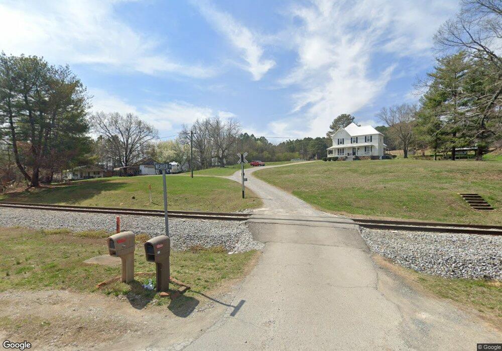
74 Weaver Dr Rock Spring, GA 30739
Rock Spring NeighborhoodEstimated Value: $428,000 - $472,000
--
Bed
--
Bath
2,832
Sq Ft
$158/Sq Ft
Est. Value
About This Home
This home is located at 74 Weaver Dr, Rock Spring, GA 30739 and is currently estimated at $446,373, approximately $157 per square foot. 74 Weaver Dr is a home with nearby schools including Rock Spring Elementary School, Lafayette High School, and Alice M Daley Adventist School.
Ownership History
Date
Name
Owned For
Owner Type
Purchase Details
Closed on
Mar 5, 2018
Sold by
Potts Richard S
Bought by
Miller Austin W and Miller Kathryn B
Current Estimated Value
Purchase Details
Closed on
Jun 4, 1984
Sold by
Weaver Frank Mrs
Bought by
Potts Richard S
Purchase Details
Closed on
Jan 1, 1972
Bought by
Weaver Frank Mrs
Create a Home Valuation Report for This Property
The Home Valuation Report is an in-depth analysis detailing your home's value as well as a comparison with similar homes in the area
Home Values in the Area
Average Home Value in this Area
Purchase History
| Date | Buyer | Sale Price | Title Company |
|---|---|---|---|
| Miller Austin W | $220,000 | -- | |
| Potts Richard S | -- | -- | |
| Weaver Frank Mrs | -- | -- |
Source: Public Records
Tax History Compared to Growth
Tax History
| Year | Tax Paid | Tax Assessment Tax Assessment Total Assessment is a certain percentage of the fair market value that is determined by local assessors to be the total taxable value of land and additions on the property. | Land | Improvement |
|---|---|---|---|---|
| 2024 | $3,394 | $149,602 | $20,411 | $129,191 |
| 2023 | $3,230 | $138,798 | $16,199 | $122,599 |
| 2022 | $3,118 | $124,047 | $18,184 | $105,863 |
| 2021 | $2,427 | $85,378 | $18,184 | $67,194 |
| 2020 | $2,185 | $73,245 | $18,184 | $55,061 |
| 2019 | $2,274 | $76,584 | $18,184 | $58,400 |
| 2018 | $1,614 | $60,987 | $18,184 | $42,803 |
| 2017 | $2,039 | $60,891 | $18,088 | $42,803 |
| 2016 | $1,571 | $71,626 | $26,186 | $45,440 |
| 2015 | $1,083 | $38,601 | $16,088 | $22,513 |
| 2014 | $988 | $38,601 | $16,088 | $22,513 |
| 2013 | -- | $38,601 | $16,088 | $22,513 |
Source: Public Records
Map
Nearby Homes
- 1902 Long Hollow Rd
- 701 Bicentennial Trail
- 1370 Old Highway 27
- 1003 Highway N Old 27
- 5602 Georgia 95
- 00 Georgia 95
- 954 Goodson Cir
- 1476 Arnold Rd
- 195 Honeysuckle Dr
- 10180 Us Highway 27
- 59 Honeysuckle Dr
- 514 Ginger Lake Dr
- 1121 Arnold Rd
- 36 Pheonix Cir
- 15 Willow Cir
- 23 Willow Cir
- 16 Willow Cir
- 11 Willow Cir
- The Pearson Plan at Laurel Ridge
- 93 Weaver Dr
- 2 Kay Conley Rd
- Lot 3 Kay Conley Rd
- 1 Kay Conley Rd
- 3 Kay Conley Rd
- 823 Old Highway 27
- 823 Old Highway 27
- 761 Old Highway 27
- 651 Old Highway 27
- 633 Old Highway 27
- 773 Old Highway 27
- 733 Old Highway 27
- 69 Kay Conley Rd
- 27 N Highway
- 47 Kay Conley Rd
- 216 Thacker Dr
- 0 Kay Conley Rd Unit 1170518
- 0 Kay Conley Rd Unit 8258190
- 0 Kay Conley Rd Unit 1276187
- 0 Kay Conley Rd Unit 1270275