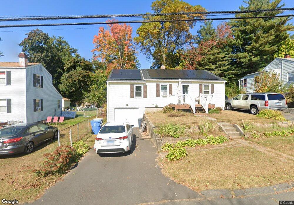
74 Westchester Dr Bristol, CT 06010
Forestville NeighborhoodEstimated Value: $233,000 - $258,000
2
Beds
1
Bath
744
Sq Ft
$335/Sq Ft
Est. Value
About This Home
This home is located at 74 Westchester Dr, Bristol, CT 06010 and is currently estimated at $249,232, approximately $334 per square foot. 74 Westchester Dr is a home located in Hartford County with nearby schools including Northeast Middle School, Bristol Eastern High School, and Heritage Christian School.
Ownership History
Date
Name
Owned For
Owner Type
Purchase Details
Closed on
Dec 27, 2016
Sold by
Rimcoski Shawn
Bought by
Brohm Robert
Current Estimated Value
Purchase Details
Closed on
Jul 8, 2005
Sold by
Stjohn Gayle
Bought by
Rimcoski Shawn
Home Financials for this Owner
Home Financials are based on the most recent Mortgage that was taken out on this home.
Original Mortgage
$113,600
Interest Rate
5.71%
Purchase Details
Closed on
Aug 13, 2004
Sold by
Wallace George W and Wallace Verlie J
Bought by
Stjohn Gayle
Create a Home Valuation Report for This Property
The Home Valuation Report is an in-depth analysis detailing your home's value as well as a comparison with similar homes in the area
Home Values in the Area
Average Home Value in this Area
Purchase History
| Date | Buyer | Sale Price | Title Company |
|---|---|---|---|
| Brohm Robert | $57,000 | -- | |
| Rimcoski Shawn | $142,000 | -- | |
| Stjohn Gayle | $140,000 | -- |
Source: Public Records
Mortgage History
| Date | Status | Borrower | Loan Amount |
|---|---|---|---|
| Previous Owner | Stjohn Gayle | $113,600 | |
| Previous Owner | Stjohn Gayle | $28,400 | |
| Previous Owner | Stjohn Gayle | $10,500 |
Source: Public Records
Tax History Compared to Growth
Tax History
| Year | Tax Paid | Tax Assessment Tax Assessment Total Assessment is a certain percentage of the fair market value that is determined by local assessors to be the total taxable value of land and additions on the property. | Land | Improvement |
|---|---|---|---|---|
| 2025 | $3,827 | $113,400 | $42,350 | $71,050 |
| 2024 | $3,601 | $113,050 | $42,350 | $70,700 |
| 2023 | $3,431 | $113,050 | $42,350 | $70,700 |
| 2022 | $3,256 | $84,910 | $34,440 | $50,470 |
| 2021 | $3,256 | $84,910 | $34,440 | $50,470 |
| 2020 | $3,256 | $84,910 | $34,440 | $50,470 |
| 2019 | $3,231 | $84,910 | $34,440 | $50,470 |
| 2018 | $3,131 | $84,910 | $34,440 | $50,470 |
| 2017 | $2,636 | $73,150 | $29,890 | $43,260 |
| 2016 | $2,636 | $73,150 | $29,890 | $43,260 |
| 2015 | $2,532 | $73,150 | $29,890 | $43,260 |
| 2014 | $2,532 | $73,150 | $29,890 | $43,260 |
Source: Public Records
Map
Nearby Homes
- 68 Westchester Dr
- 80 Westchester Dr
- 34 Britton Rd
- 62 Westchester Dr
- 71 Westchester Dr
- 77 Westchester Dr
- 65 Westchester Dr
- 85 Westchester Dr
- 37 Carol Dr
- 28 Britton Rd
- 56 Westchester Dr
- 59 Westchester Dr
- 101 Lancaster Rd
- 29 Carol Dr
- 53 Carol Dr
- 50 Westchester Dr
- 22 Britton Rd
- 53 Westchester Dr
- 21 Carol Dr
- 50 Carol Dr