74 Wilson Overlook Dahlonega, GA 30533
Estimated Value: $326,631 - $415,000
--
Bed
2
Baths
2,250
Sq Ft
$162/Sq Ft
Est. Value
About This Home
This home is located at 74 Wilson Overlook, Dahlonega, GA 30533 and is currently estimated at $364,908, approximately $162 per square foot. 74 Wilson Overlook is a home located in Lumpkin County with nearby schools including Lumpkin County High School.
Ownership History
Date
Name
Owned For
Owner Type
Purchase Details
Closed on
Oct 15, 2020
Sold by
Wilson Charles Loyal
Bought by
Wilson Clyde Larry
Current Estimated Value
Purchase Details
Closed on
Jan 4, 2010
Sold by
Hughes Susan D
Bought by
Wilson Loyal
Purchase Details
Closed on
Sep 2, 1998
Sold by
Hughes Susan D
Bought by
Hughes Susan D
Purchase Details
Closed on
Nov 10, 1996
Sold by
Wilson Patrick
Bought by
Hughes Susan D
Purchase Details
Closed on
Oct 24, 1991
Sold by
Wilson Loyal
Bought by
Wilson Patrick
Purchase Details
Closed on
Nov 1, 1986
Bought by
Wilson Loyal
Create a Home Valuation Report for This Property
The Home Valuation Report is an in-depth analysis detailing your home's value as well as a comparison with similar homes in the area
Home Values in the Area
Average Home Value in this Area
Purchase History
| Date | Buyer | Sale Price | Title Company |
|---|---|---|---|
| Wilson Clyde Larry | -- | -- | |
| Wilson Loyal | -- | -- | |
| Hughes Susan D | $110,000 | -- | |
| Hughes Susan D | -- | -- | |
| Wilson Patrick | $50,000 | -- | |
| Wilson Loyal | -- | -- |
Source: Public Records
Tax History Compared to Growth
Tax History
| Year | Tax Paid | Tax Assessment Tax Assessment Total Assessment is a certain percentage of the fair market value that is determined by local assessors to be the total taxable value of land and additions on the property. | Land | Improvement |
|---|---|---|---|---|
| 2024 | $4,898 | $87,830 | $11,402 | $76,428 |
| 2023 | $1,845 | $78,428 | $10,150 | $68,278 |
| 2022 | $1,664 | $67,225 | $8,072 | $59,153 |
| 2021 | $1,491 | $58,260 | $8,072 | $50,188 |
| 2020 | $1,505 | $57,041 | $8,072 | $48,969 |
| 2019 | $1,519 | $57,041 | $8,072 | $48,969 |
| 2018 | $1,445 | $50,920 | $8,072 | $42,848 |
| 2017 | $1,441 | $49,828 | $8,072 | $41,756 |
| 2016 | $1,396 | $46,686 | $8,072 | $38,614 |
| 2015 | $1,244 | $46,686 | $8,072 | $38,614 |
| 2014 | $1,244 | $47,188 | $8,072 | $39,116 |
| 2013 | -- | $47,689 | $8,072 | $39,617 |
Source: Public Records
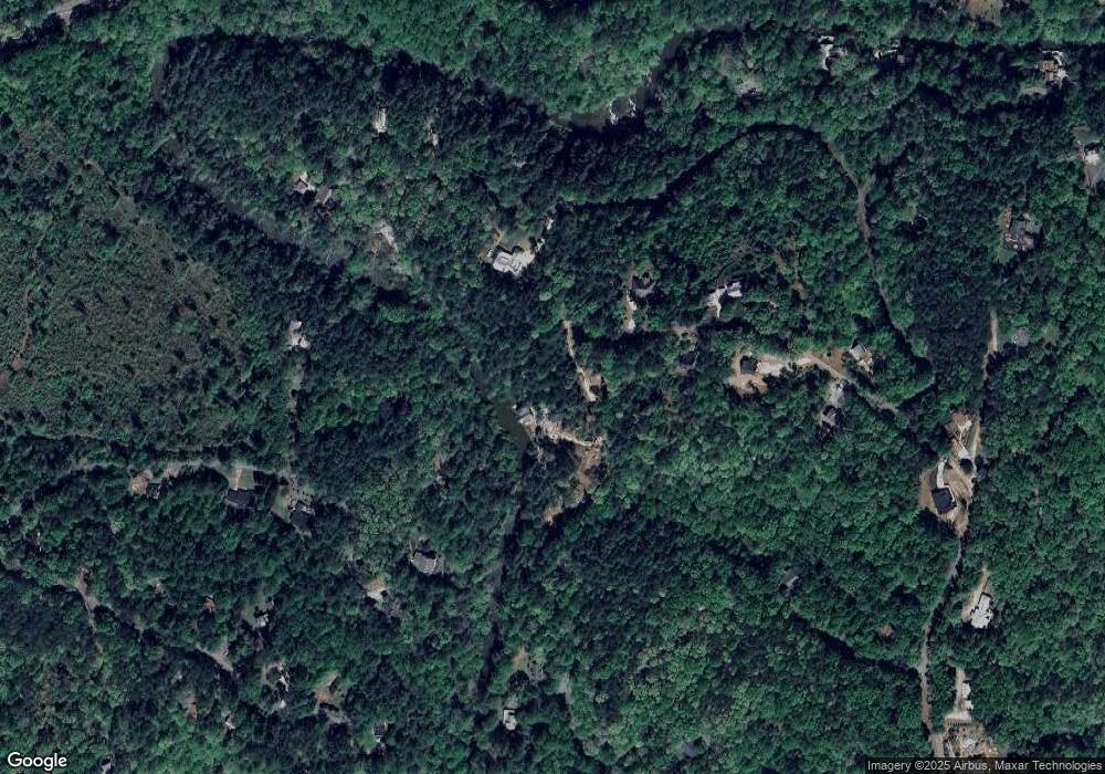
Map
Nearby Homes
- 150 Buck Run E
- 486 Laurel Cir
- 221 Laurel Cir
- 194 Deerfield Dr
- 33 T J Mote Rd
- 33 Tj Mote Rd
- 0 Rainmore Dr Unit 7620063
- 0 Rainmore Dr Unit 10570615
- 50 Loyal Dr
- 103 Rainmore Dr
- 190 Grand Oak Ln
- 15 Baker St
- 191 Sleepy Hollow Rd
- 0x Pink Williams Rd
- 0x Pink Williams Rd Unit 124AC
- 115 W Woods Dr
- 775 Crooked Creek Dr
- 78 Etowah West Dr
- 1044 Rider Rd
- 0 Honey Tree Terrace Unit 10448792
- 161 Wilson Overlook
- 213 Buck Run E
- 683 Laurel Cir
- 0 Buck Run E
- 00 Buck Run E
- 0 Buck Run E Unit 7404758
- 700 Laurel Cir
- 214 Buck Run E
- 570 Etowah Dr
- Lot 47 River Dr
- 658 Laurel Cir
- 583 Etowah Dr
- 212 Buck Run E
- 624 Laurel Cir
- 433 River Dr
- 372 River Dr
- 187 Buck Run E
- 112 Saddleridge Dr
- 96 Saddleridge Dr
- 206 Buck Run E