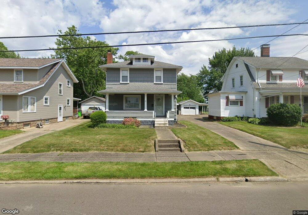
740 15th St SW Massillon, OH 44647
Lawndale NeighborhoodEstimated Value: $113,273 - $143,000
3
Beds
2
Baths
1,152
Sq Ft
$112/Sq Ft
Est. Value
About This Home
This home is located at 740 15th St SW, Massillon, OH 44647 and is currently estimated at $129,568, approximately $112 per square foot. 740 15th St SW is a home located in Stark County with nearby schools including Massillon Intermediate School, Massillon Junior High School, and Washington High School.
Ownership History
Date
Name
Owned For
Owner Type
Purchase Details
Closed on
Feb 24, 2017
Sold by
Snavely Richard L and Snavely Patrice E
Bought by
Snavely Richard L and Snavely Patrice E
Current Estimated Value
Create a Home Valuation Report for This Property
The Home Valuation Report is an in-depth analysis detailing your home's value as well as a comparison with similar homes in the area
Home Values in the Area
Average Home Value in this Area
Purchase History
| Date | Buyer | Sale Price | Title Company |
|---|---|---|---|
| Snavely Richard L | -- | None Available |
Source: Public Records
Tax History Compared to Growth
Tax History
| Year | Tax Paid | Tax Assessment Tax Assessment Total Assessment is a certain percentage of the fair market value that is determined by local assessors to be the total taxable value of land and additions on the property. | Land | Improvement |
|---|---|---|---|---|
| 2025 | -- | $30,030 | $9,030 | $21,000 |
| 2024 | -- | $30,030 | $9,030 | $21,000 |
| 2023 | $1,361 | $25,910 | $7,250 | $18,660 |
| 2022 | $1,365 | $25,910 | $7,250 | $18,660 |
| 2021 | $1,387 | $25,910 | $7,250 | $18,660 |
| 2020 | $1,206 | $21,180 | $5,950 | $15,230 |
| 2019 | $1,189 | $21,180 | $5,950 | $15,230 |
| 2018 | $1,182 | $21,180 | $5,950 | $15,230 |
| 2017 | $1,091 | $18,240 | $4,450 | $13,790 |
| 2016 | $1,109 | $18,240 | $4,450 | $13,790 |
| 2015 | $1,096 | $18,240 | $4,450 | $13,790 |
| 2014 | $1,095 | $17,620 | $4,310 | $13,310 |
| 2013 | $546 | $17,620 | $4,310 | $13,310 |
Source: Public Records
Map
Nearby Homes
- 315 14th St SW
- 728 Hillside Place SW
- 101 14th St NW
- 827 9th St SW
- 1301 Lincoln Way NW
- 309 15th St NW
- 878 Liberty Ct SW
- 718 Bebb Ave SW
- 2488 Carlene Ave SW
- 533 Webb Ave SW
- 50 26th St NW
- 508 Tremont Ave SW
- 504 5th St SW
- 123 26th St NW
- 532 4th St SW
- 517 Grosvenor Ave NW
- 540 Carver St NW
- 1104 4th St SW
- 2527 Lincoln Way NW
- 1737 Leslie St NW
- 736 15th St SW
- 800 15th St SW
- 732 15th St SW
- 804 15th St SW
- 808 15th St SW
- 728 15th St SW
- 814 15th St SW
- 1505 Byron Ave SW
- 733 15th St SW
- 1512 Byron Ave SW
- 718 15th St SW
- 729 15th St SW
- 1509 Byron Ave SW
- 818 15th St SW
- 719 Niles St SW
- 1456 Overlook Ave SW
- 723 15th St SW
- 1515 Byron Ave SW
- 1516 Byron Ave SW
- 821 15th St SW