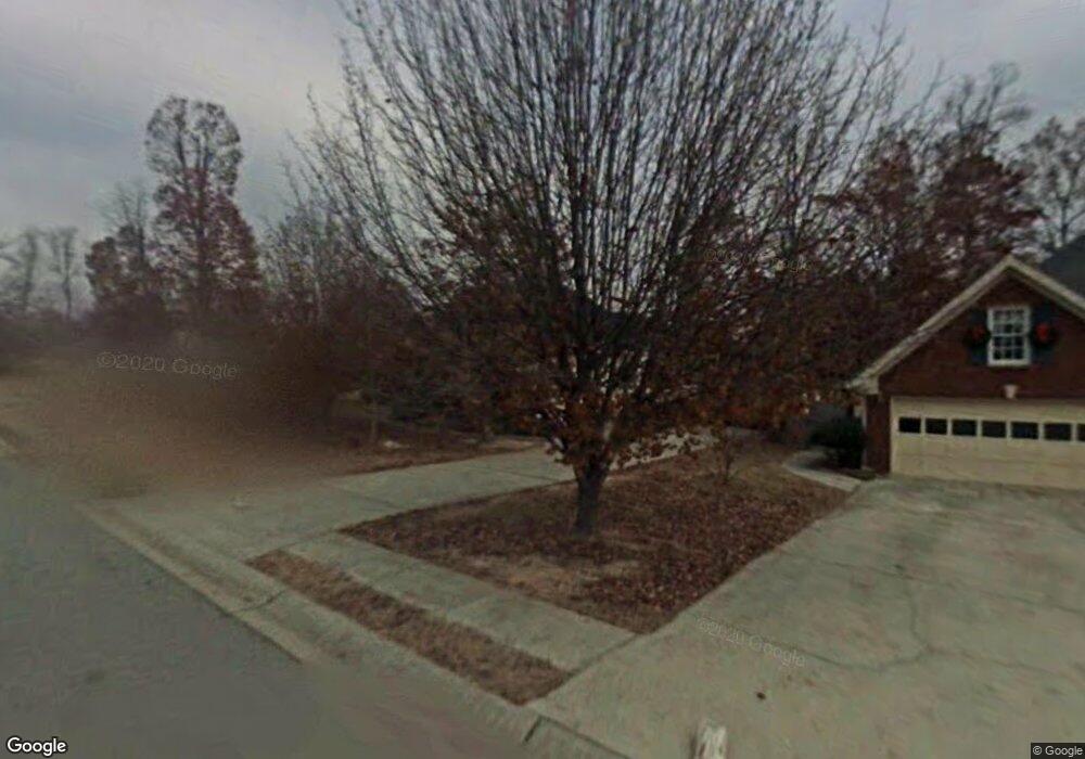
740 Brand South Trail Unit 2 Lawrenceville, GA 30046
Estimated Value: $375,000 - $393,000
4
Beds
2
Baths
2,055
Sq Ft
$186/Sq Ft
Est. Value
About This Home
This home is located at 740 Brand South Trail Unit 2, Lawrenceville, GA 30046 and is currently estimated at $382,851, approximately $186 per square foot. 740 Brand South Trail Unit 2 is a home located in Gwinnett County with nearby schools including Simonton Elementary School, Jordan Middle School, and Central Gwinnett High School.
Ownership History
Date
Name
Owned For
Owner Type
Purchase Details
Closed on
Jun 26, 2003
Sold by
Pounder Katherine
Bought by
Chester Ruby A R
Current Estimated Value
Home Financials for this Owner
Home Financials are based on the most recent Mortgage that was taken out on this home.
Original Mortgage
$115,000
Outstanding Balance
$49,040
Interest Rate
5.3%
Mortgage Type
New Conventional
Estimated Equity
$333,811
Create a Home Valuation Report for This Property
The Home Valuation Report is an in-depth analysis detailing your home's value as well as a comparison with similar homes in the area
Home Values in the Area
Average Home Value in this Area
Purchase History
| Date | Buyer | Sale Price | Title Company |
|---|---|---|---|
| Chester Ruby A R | $150,000 | -- |
Source: Public Records
Mortgage History
| Date | Status | Borrower | Loan Amount |
|---|---|---|---|
| Open | Chester Ruby A R | $115,000 |
Source: Public Records
Tax History Compared to Growth
Tax History
| Year | Tax Paid | Tax Assessment Tax Assessment Total Assessment is a certain percentage of the fair market value that is determined by local assessors to be the total taxable value of land and additions on the property. | Land | Improvement |
|---|---|---|---|---|
| 2024 | $4,171 | $149,960 | $31,600 | $118,360 |
| 2023 | $4,171 | $149,960 | $31,600 | $118,360 |
| 2022 | $3,401 | $114,360 | $23,200 | $91,160 |
| 2021 | $2,952 | $90,880 | $18,800 | $72,080 |
| 2020 | $2,972 | $90,880 | $18,800 | $72,080 |
| 2019 | $2,693 | $81,440 | $16,800 | $64,640 |
| 2018 | $2,694 | $81,440 | $16,800 | $64,640 |
| 2016 | $2,295 | $62,080 | $9,600 | $52,480 |
| 2015 | $2,312 | $62,080 | $9,600 | $52,480 |
| 2014 | -- | $62,080 | $9,600 | $52,480 |
Source: Public Records
Map
Nearby Homes
- 760 Brand Trail S
- 722 Thornapple Trail
- 84 Oxford Brook Way
- 200 Simonton Rd SW
- 210 Simonton Rd SW
- 97 Forest Place
- 585 Corley Brook Way
- 455 Saddle Bow Dr
- 501 Timber Ridge Ct
- 78 Dorothy Ln
- 743 New Hope Rd
- 86 Hickory Grove Ave
- 927 Winding Trail
- 982 Waverly Dr
- 338 Crane Dr
- 328 Adams Farm Ln Unit 1
- 41 Ludwick Ln
- 750 Brand South Trail Unit II
- 760 Brand South Trail
- 115 Jessamine Trail Unit 2
- 90 Jessamine Trail Unit III
- 735 Brand Trail S
- 745 Brand South Trail
- 105 Jessamine Trail
- 737 Calico Ln
- 735 Brand South Trail
- 755 Brand South Trail Unit 2
- 765 Brand Trail S
- 725 Brand South Trail
- 765 Brand South Trail Unit II
- 770 Brand South Trail
- 770 Brand Trail S
- 80 Jessamine Trail
- 747 Calico Ln
- 727 Thornapple Trail Unit 3
- 715 Brand South Trail Unit 2
- 700 Brand South Trail