740 Brook Cir E Montrose, MN 55363
Estimated Value: $317,000 - $391,000
3
Beds
1
Bath
1,549
Sq Ft
$228/Sq Ft
Est. Value
About This Home
This home is located at 740 Brook Cir E, Montrose, MN 55363 and is currently estimated at $353,186, approximately $228 per square foot. 740 Brook Cir E is a home located in Wright County with nearby schools including Montrose Elementary School, Buffalo Community Middle School, and Buffalo Senior High School.
Ownership History
Date
Name
Owned For
Owner Type
Purchase Details
Closed on
Apr 10, 2009
Sold by
Pfeifer Property Management Llc
Bought by
Root Stephen T
Current Estimated Value
Purchase Details
Closed on
Apr 3, 2009
Sold by
Bjorkedal Olaf A and Bjorkedal Tamara
Bought by
Pfeifer Kent
Create a Home Valuation Report for This Property
The Home Valuation Report is an in-depth analysis detailing your home's value as well as a comparison with similar homes in the area
Home Values in the Area
Average Home Value in this Area
Purchase History
We collect this data history from publicly available records. To have your information removed, we recommend requesting removal directly through your county’s website.
| Date | Buyer | Sale Price | Title Company |
|---|---|---|---|
| Root Stephen T | $149,000 | -- | |
| Pfeifer Kent | $120,000 | -- |
Source: Public Records
Tax History
| Year | Tax Paid | Tax Assessment Tax Assessment Total Assessment is a certain percentage of the fair market value that is determined by local assessors to be the total taxable value of land and additions on the property. | Land | Improvement |
|---|---|---|---|---|
| 2025 | $4,158 | $328,000 | $67,000 | $261,000 |
| 2024 | $3,748 | $326,900 | $77,000 | $249,900 |
| 2023 | $3,644 | $330,400 | $77,000 | $253,400 |
| 2022 | $3,470 | $296,800 | $69,000 | $227,800 |
| 2021 | $3,484 | $246,300 | $35,000 | $211,300 |
| 2020 | $3,344 | $241,900 | $35,000 | $206,900 |
| 2019 | $2,956 | $228,700 | $0 | $0 |
| 2018 | $2,686 | $192,700 | $0 | $0 |
| 2017 | $2,428 | $176,300 | $0 | $0 |
| 2016 | $2,306 | $0 | $0 | $0 |
| 2015 | $2,206 | $0 | $0 | $0 |
| 2014 | -- | $0 | $0 | $0 |
Source: Public Records
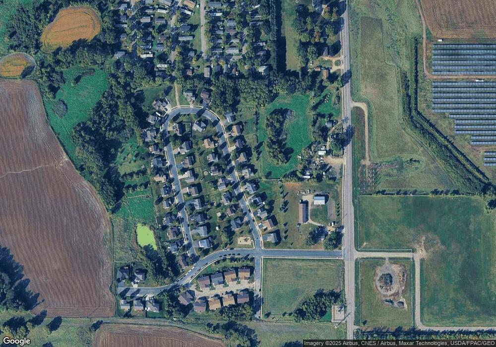
Map
Nearby Homes
- 738 Brook Cir E
- 742 Brook Cir E
- 736 Brook Cir E
- 744 Brook Cir E
- 741 Brook Cir E
- 739 Brook Cir E
- 743 Brook Cir E
- 745 Brook Cir E
- 735 Brook Cir E
- 747 Brook Cir E
- 712 Brook Cir W
- 748 Brook Cir E
- 714 Brook Cir W
- 714 714 Brook-Circle-w
- 710 Brook Cir W
- 732 Brook Cir E
- 716 Brook Cir W
- 708 Brook Cir W
- 708 708 Brook-Circle-w
- 733 Brook Cir E
Your Personal Tour Guide
Ask me questions while you tour the home.