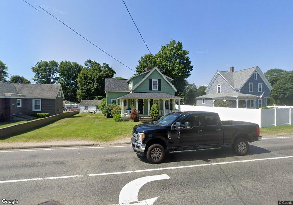
740 Central St Stoughton, MA 02072
Estimated Value: $490,000 - $570,000
3
Beds
2
Baths
1,148
Sq Ft
$469/Sq Ft
Est. Value
About This Home
This home is located at 740 Central St, Stoughton, MA 02072 and is currently estimated at $538,781, approximately $469 per square foot. 740 Central St is a home located in Norfolk County with nearby schools including Joseph R Dawe Jr Elementary School, Dr. Robert G. O'Donnell Middle School, and Stoughton High School.
Ownership History
Date
Name
Owned For
Owner Type
Purchase Details
Closed on
Nov 6, 2009
Sold by
Cahill Shannon M and Spada Tracyann L
Bought by
Sugrue Annette M
Current Estimated Value
Home Financials for this Owner
Home Financials are based on the most recent Mortgage that was taken out on this home.
Original Mortgage
$168,000
Outstanding Balance
$110,033
Interest Rate
5.06%
Mortgage Type
Purchase Money Mortgage
Estimated Equity
$428,748
Purchase Details
Closed on
Sep 30, 2005
Sold by
Perkins Carol and Perkins Richard
Bought by
Cahill Shannon M and Spada Tracyann L
Home Financials for this Owner
Home Financials are based on the most recent Mortgage that was taken out on this home.
Original Mortgage
$212,000
Interest Rate
5.84%
Mortgage Type
Purchase Money Mortgage
Create a Home Valuation Report for This Property
The Home Valuation Report is an in-depth analysis detailing your home's value as well as a comparison with similar homes in the area
Home Values in the Area
Average Home Value in this Area
Purchase History
| Date | Buyer | Sale Price | Title Company |
|---|---|---|---|
| Sugrue Annette M | $210,000 | -- | |
| Sugrue Annette M | $210,000 | -- | |
| Cahill Shannon M | $265,000 | -- | |
| Cahill Shannon M | $265,000 | -- |
Source: Public Records
Mortgage History
| Date | Status | Borrower | Loan Amount |
|---|---|---|---|
| Open | Sugrue Annette M | $168,000 | |
| Closed | Cahill Shannon M | $168,000 | |
| Previous Owner | Cahill Shannon M | $212,000 | |
| Previous Owner | Cahill Shannon M | $53,000 |
Source: Public Records
Tax History Compared to Growth
Tax History
| Year | Tax Paid | Tax Assessment Tax Assessment Total Assessment is a certain percentage of the fair market value that is determined by local assessors to be the total taxable value of land and additions on the property. | Land | Improvement |
|---|---|---|---|---|
| 2025 | $5,723 | $462,300 | $190,300 | $272,000 |
| 2024 | $5,676 | $445,900 | $173,900 | $272,000 |
| 2023 | $5,528 | $408,000 | $160,700 | $247,300 |
| 2022 | $5,313 | $368,700 | $147,600 | $221,100 |
| 2021 | $5,016 | $332,200 | $126,300 | $205,900 |
| 2020 | $4,873 | $327,300 | $121,400 | $205,900 |
| 2019 | $4,711 | $307,100 | $121,400 | $185,700 |
| 2018 | $4,316 | $291,400 | $114,800 | $176,600 |
| 2017 | $3,798 | $262,100 | $103,300 | $158,800 |
| 2016 | $3,804 | $254,100 | $101,700 | $152,400 |
| 2015 | $3,695 | $244,200 | $91,800 | $152,400 |
| 2014 | $3,589 | $228,000 | $85,300 | $142,700 |
Source: Public Records
Map
Nearby Homes
- 732 Central St
- 748 Central St
- 16 Talbot St
- 420 Pleasant St
- 412 Pleasant St
- 412 Pleasant St Unit A
- 412 Pleasant St Unit B
- 412 Pleasant St Unit 1
- 741 Central St
- 758 Central St
- 434 Pleasant St
- 24 Talbot St
- 19 Talbot St
- 19 Talbot St
- 402 Pleasant St
- 402 Pleasant St Unit 402
- 21 Talbot St
- 766 Central St
- 739 Central St
- 450 Pleasant St