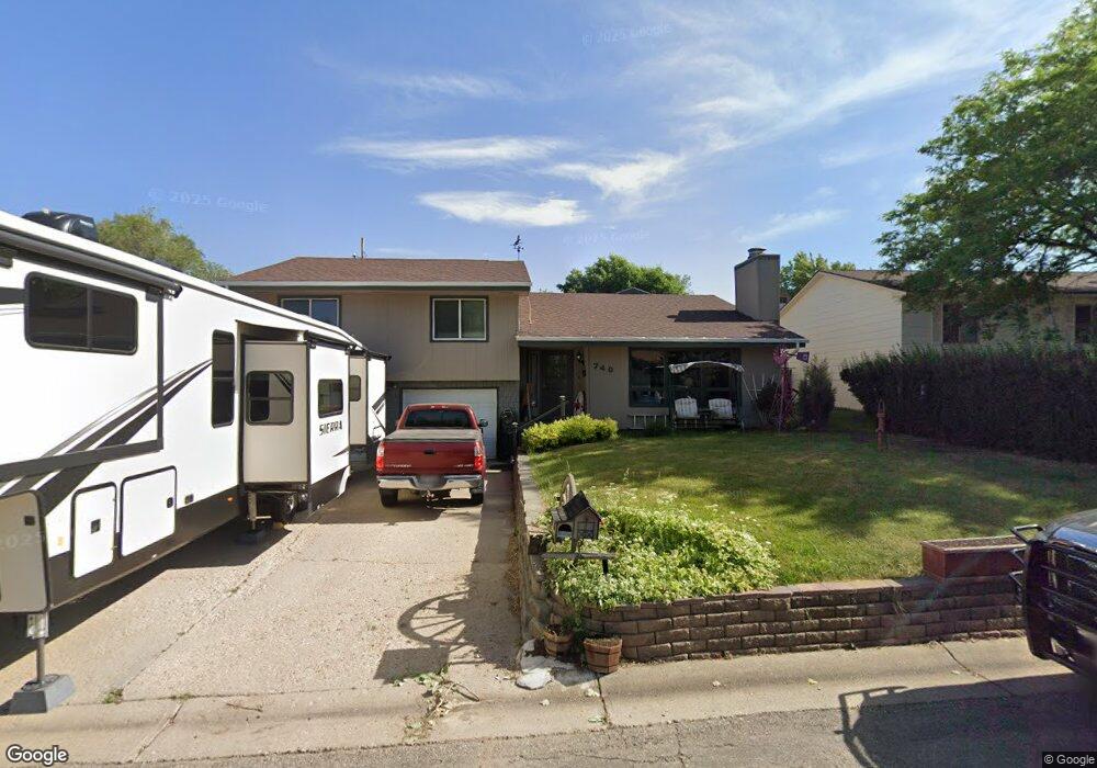
740 Dunnuck St Sheridan, WY 82801
Estimated Value: $406,000 - $437,654
3
Beds
3
Baths
1,644
Sq Ft
$253/Sq Ft
Est. Value
About This Home
This home is located at 740 Dunnuck St, Sheridan, WY 82801 and is currently estimated at $415,414, approximately $252 per square foot. 740 Dunnuck St is a home with nearby schools including Sheridan High School, Holy Name Catholic School, and Martin Luther Grammar School.
Ownership History
Date
Name
Owned For
Owner Type
Purchase Details
Closed on
May 3, 2011
Sold by
Green John E and Green Courtney L
Bought by
Roberts Dorvan Dean
Current Estimated Value
Home Financials for this Owner
Home Financials are based on the most recent Mortgage that was taken out on this home.
Original Mortgage
$228,000
Outstanding Balance
$158,668
Interest Rate
4.91%
Mortgage Type
VA
Estimated Equity
$256,746
Create a Home Valuation Report for This Property
The Home Valuation Report is an in-depth analysis detailing your home's value as well as a comparison with similar homes in the area
Home Values in the Area
Average Home Value in this Area
Purchase History
| Date | Buyer | Sale Price | Title Company |
|---|---|---|---|
| Roberts Dorvan Dean | -- | None Available |
Source: Public Records
Mortgage History
| Date | Status | Borrower | Loan Amount |
|---|---|---|---|
| Open | Roberts Dorvan Dean | $228,000 |
Source: Public Records
Tax History Compared to Growth
Tax History
| Year | Tax Paid | Tax Assessment Tax Assessment Total Assessment is a certain percentage of the fair market value that is determined by local assessors to be the total taxable value of land and additions on the property. | Land | Improvement |
|---|---|---|---|---|
| 2025 | $2,847 | $30,276 | $4,928 | $25,348 |
| 2024 | $2,633 | $39,820 | $6,318 | $33,502 |
| 2023 | $2,525 | $38,317 | $5,387 | $32,930 |
| 2022 | $2,217 | $34,001 | $4,812 | $29,189 |
| 2021 | $1,865 | $29,085 | $5,249 | $23,836 |
| 2020 | $1,757 | $27,574 | $4,817 | $22,757 |
| 2019 | $1,668 | $26,328 | $4,817 | $21,511 |
| 2018 | $1,549 | $24,664 | $4,750 | $19,914 |
| 2017 | $1,462 | $23,444 | $4,418 | $19,026 |
| 2015 | $1,429 | $22,981 | $4,028 | $18,953 |
| 2014 | $1,383 | $22,336 | $3,895 | $18,441 |
| 2013 | -- | $21,845 | $3,382 | $18,463 |
Source: Public Records
Map
Nearby Homes
- 754 Dunnuck St
- 722 Dunnuck St
- 1055 Delphi Ave
- 1043 Delphi Ave
- 731 Dunnuck St
- 707 Dunnuck St
- 1070 Clarendon Ave
- 1056 Clarendon Ave
- 1044 Clarendon Ave
- 1025 Delphi Ave
- 776 Michael Dr
- 1119 Delphi Ave
- 820 Dunnuck St
- 1016 Clarendon Ave
- 1023 Delphi Ave
- 788 Michael Dr
- 809 Dunnuck St
- 764 Michael Dr
- 1135 Delphi Ave
- 1134 Shelly Ln