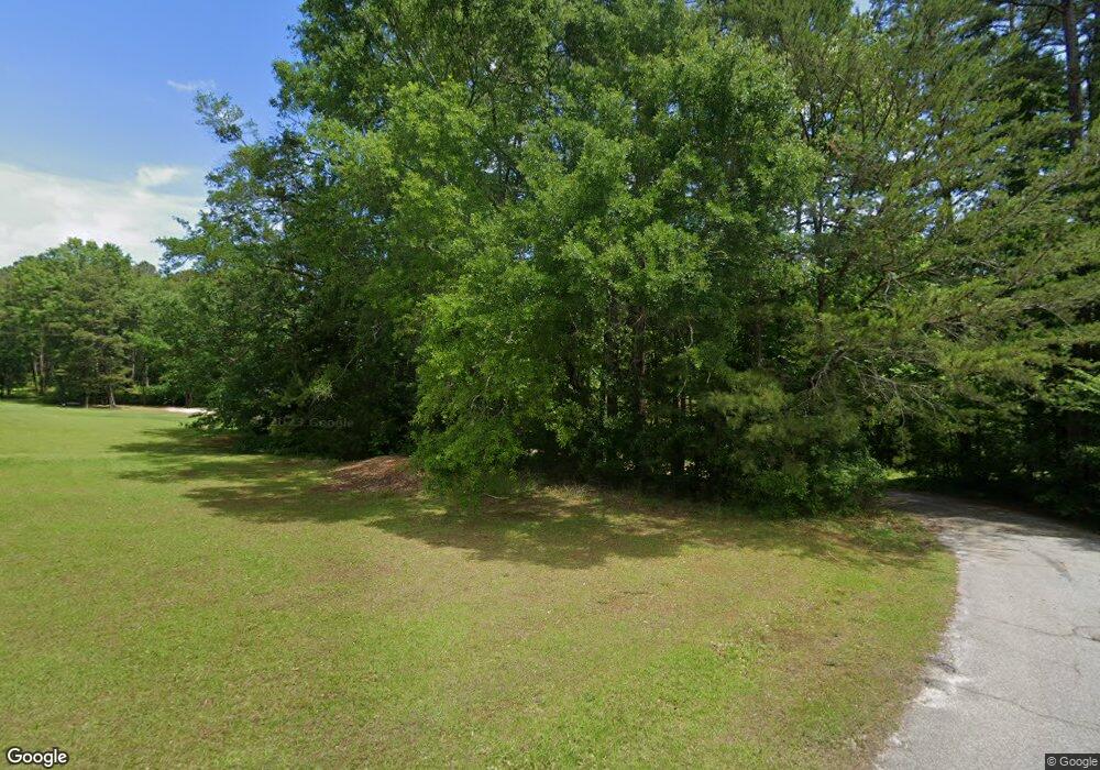
740 Megans Way Walhalla, SC 29691
Estimated Value: $165,000
--
Bed
2
Baths
1,764
Sq Ft
$94/Sq Ft
Est. Value
About This Home
This home is located at 740 Megans Way, Walhalla, SC 29691 and is currently estimated at $165,000, approximately $93 per square foot. 740 Megans Way is a home located in Oconee County with nearby schools including James M. Brown Elementary School, Walhalla Middle School, and Walhalla High School.
Ownership History
Date
Name
Owned For
Owner Type
Purchase Details
Closed on
Nov 8, 2024
Sold by
Mcalister Brian K and Mcalister Bettina K
Bought by
Douglas James P and Douglas Phillip
Current Estimated Value
Home Financials for this Owner
Home Financials are based on the most recent Mortgage that was taken out on this home.
Original Mortgage
$195,266
Outstanding Balance
$194,342
Interest Rate
6.32%
Mortgage Type
Construction
Estimated Equity
-$47,342
Purchase Details
Closed on
Apr 24, 2020
Sold by
Mcalister Brian K and Mcalister Bettina K
Bought by
Douglas Phillip and Douglas Stephanie
Create a Home Valuation Report for This Property
The Home Valuation Report is an in-depth analysis detailing your home's value as well as a comparison with similar homes in the area
Home Values in the Area
Average Home Value in this Area
Purchase History
Date | Buyer | Sale Price | Title Company |
---|---|---|---|
Douglas James P | $35,000 | None Listed On Document | |
Douglas Phillip | $35,000 | None Available |
Source: Public Records
Mortgage History
Date | Status | Borrower | Loan Amount |
---|---|---|---|
Open | Douglas James P | $195,266 | |
Closed | Douglas James P | $195,266 |
Source: Public Records
Tax History Compared to Growth
Tax History
Year | Tax Paid | Tax Assessment Tax Assessment Total Assessment is a certain percentage of the fair market value that is determined by local assessors to be the total taxable value of land and additions on the property. | Land | Improvement |
---|---|---|---|---|
2024 | $423 | $608 | $608 | $0 |
2023 | $423 | $1,313 | $608 | $705 |
2022 | $429 | $1,313 | $608 | $705 |
2021 | $410 | $1,203 | $498 | $705 |
2020 | $410 | $0 | $0 | $0 |
2019 | $410 | $0 | $0 | $0 |
2018 | $399 | $0 | $0 | $0 |
2017 | $527 | $0 | $0 | $0 |
2016 | $527 | $0 | $0 | $0 |
2015 | -- | $0 | $0 | $0 |
2014 | -- | $2,453 | $1,131 | $1,322 |
2013 | -- | $0 | $0 | $0 |
Source: Public Records
Map
Nearby Homes
- 316 Briar Creek Rd
- 102 Muller Rd
- 711 Campbell Town Rd
- 606 W South Broad St
- 804 W North Broad St
- 925 Robinhood Dr
- 545 Knollington Dr
- 46 Mason Dr
- 108 W Mauldin St
- 2423 Westminster Hwy
- 104 W Mauldin St
- 301 Shadybrook Dr Unit B
- 303 Shadybrook Dr
- 00 S Spring St
- 00 N Church St
- 223 N Dogwood Dr
- 320 Jaynes St
- 209 Hunter Ave
- 402 E Main St
- 2054 Westminster Hwy
- 740 Megans Way
- 128 S Abbott Rd
- 818 Scooters Dr
- 120 S Abbott Rd
- 142 S Abbott Rd
- 378 Coffee Rd
- 133 S Abbott Rd
- 137 S Abbott Rd
- 146 S Abbott Rd
- 0 S Abbott Rd
- 392 Coffee Rd
- 106 Branchview Dr
- 103 S Abbott Rd
- 156 S Abbott Rd
- 338 Coffee Rd
- 362 Coffee Rd
- 389 Coffee Rd
- 399 Coffee Rd
- 412 Coffee Rd
- 403 Coffee Rd