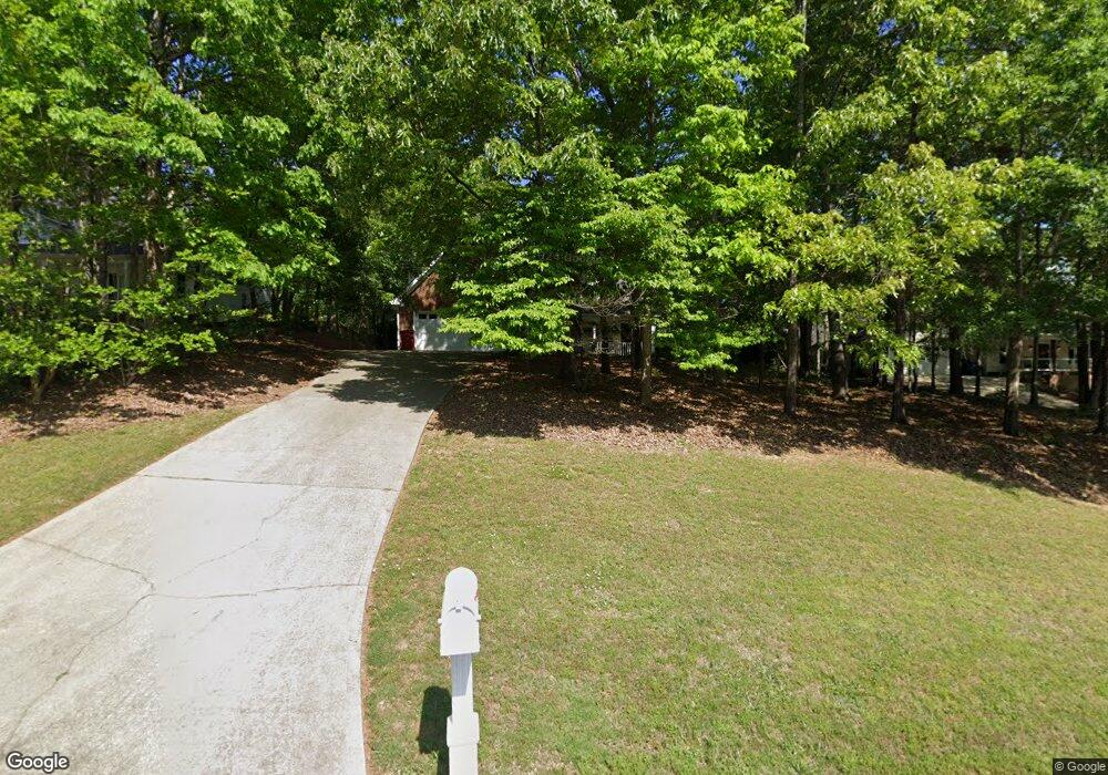
740 Michael Dr Unit 1 Winder, GA 30680
Estimated Value: $355,272 - $403,000
3
Beds
2
Baths
2,080
Sq Ft
$182/Sq Ft
Est. Value
About This Home
This home is located at 740 Michael Dr Unit 1, Winder, GA 30680 and is currently estimated at $378,818, approximately $182 per square foot. 740 Michael Dr Unit 1 is a home located in Barrow County with nearby schools including County Line Elementary School, Russell Middle School, and Winder-Barrow High School.
Ownership History
Date
Name
Owned For
Owner Type
Purchase Details
Closed on
Mar 29, 2005
Sold by
Harrison Kate R
Bought by
Weintraub Ronald S and Weintraub Sherry
Current Estimated Value
Purchase Details
Closed on
Apr 2, 1999
Sold by
Loran Homer Inc
Bought by
Harrison Joe L and Harrison Kate R
Home Financials for this Owner
Home Financials are based on the most recent Mortgage that was taken out on this home.
Original Mortgage
$112,000
Interest Rate
6.82%
Mortgage Type
New Conventional
Purchase Details
Closed on
Nov 6, 1998
Sold by
D & R Dev Inc
Bought by
Loran Hms Inc
Home Financials for this Owner
Home Financials are based on the most recent Mortgage that was taken out on this home.
Original Mortgage
$108,322
Interest Rate
6.65%
Mortgage Type
Construction
Purchase Details
Closed on
Jul 16, 1996
Bought by
D & R Development In
Create a Home Valuation Report for This Property
The Home Valuation Report is an in-depth analysis detailing your home's value as well as a comparison with similar homes in the area
Home Values in the Area
Average Home Value in this Area
Purchase History
| Date | Buyer | Sale Price | Title Company |
|---|---|---|---|
| Weintraub Ronald S | $164,900 | -- | |
| Harrison Kate R | -- | -- | |
| Harrison Joe L | $140,000 | -- | |
| Loran Hms Inc | $20,000 | -- | |
| Loran Homes Inc | $20,000 | -- | |
| D & R Development In | -- | -- |
Source: Public Records
Mortgage History
| Date | Status | Borrower | Loan Amount |
|---|---|---|---|
| Previous Owner | Harrison Joe L | $112,000 | |
| Previous Owner | Loran Homes Inc | $108,322 |
Source: Public Records
Tax History Compared to Growth
Tax History
| Year | Tax Paid | Tax Assessment Tax Assessment Total Assessment is a certain percentage of the fair market value that is determined by local assessors to be the total taxable value of land and additions on the property. | Land | Improvement |
|---|---|---|---|---|
| 2024 | $1,457 | $122,185 | $27,200 | $94,985 |
| 2023 | $1,059 | $122,585 | $27,200 | $95,385 |
| 2022 | $1,061 | $96,397 | $20,000 | $76,397 |
| 2021 | $719 | $76,172 | $16,400 | $59,772 |
| 2020 | $682 | $70,998 | $13,600 | $57,398 |
| 2019 | $699 | $68,623 | $13,600 | $55,023 |
| 2018 | $646 | $63,873 | $13,600 | $50,273 |
| 2017 | $1,593 | $54,698 | $13,600 | $41,098 |
| 2016 | $516 | $53,655 | $16,000 | $37,655 |
| 2015 | $1,583 | $54,088 | $16,000 | $38,088 |
| 2014 | $1,350 | $45,970 | $7,448 | $38,522 |
| 2013 | -- | $43,156 | $7,448 | $35,708 |
Source: Public Records
Map
Nearby Homes
- 615 Wellington Dr
- The Paisley Plan at Rockwell Farms
- The Rockwell Plan at Rockwell Farms
- The Barnes Plan at Rockwell Farms
- The Reynolds Plan at Rockwell Farms
- The Austin Plan at Rockwell Farms
- The Logan Plan at Rockwell Farms
- The Rose II Plan at Rockwell Farms
- 980 Lake Rockwell Way
- 412 Regan Dr
- 746 Baskins Cir
- 0 Mulberry Cir Unit 10647438
- 731 Lincoln Dr
- 137 New Cut Rd
- 563 Rockwell Church Rd NW
- 926 Live Oak Ct Unit 2
- 0 Mulberry Trail Unit 7684364
- 318 Ryan Rd
- 0 Gainesville Hwy Unit 10549985
- 27 Creekside Dr
- 738 Michael Dr Unit 18
- 738 Michael Dr
- 742 Michael Dr
- 736 Michael Dr Unit 1
- 744 Michael Dr Unit 1
- 667 Wellington Dr
- 741 Michael Dr
- 737 Michael Dr
- 734 Michael Dr
- 746 Michael Dr
- 665 Wellington Dr
- 750 Michael Dr
- 750 Michael Dr Unit 1
- 232 Alanna Ave Unit 1
- 753 Michael Dr Unit 1
- 732 Michael Dr Unit 1
- 732 Michael Dr Unit 1/15
- 732 Michael Dr
- 752 Michael Dr Unit 24
- 752 Michael Dr