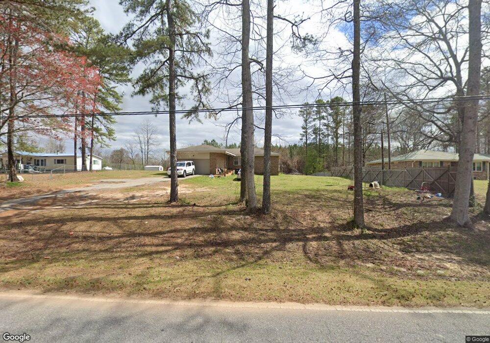
740 Omaha Rd Roanoke, AL 36274
Estimated Value: $160,420 - $208,000
--
Bed
--
Bath
1,775
Sq Ft
$108/Sq Ft
Est. Value
About This Home
This home is located at 740 Omaha Rd, Roanoke, AL 36274 and is currently estimated at $191,355, approximately $107 per square foot. 740 Omaha Rd is a home with nearby schools including Knight Enloe Elementary School, Handley Middle School, and Handley High School.
Ownership History
Date
Name
Owned For
Owner Type
Purchase Details
Closed on
Nov 8, 2012
Sold by
Knowles Dennis A
Bought by
Pike Aaron P and Pike April M Edmondson
Current Estimated Value
Home Financials for this Owner
Home Financials are based on the most recent Mortgage that was taken out on this home.
Original Mortgage
$89,795
Outstanding Balance
$62,167
Interest Rate
3.43%
Mortgage Type
New Conventional
Estimated Equity
$129,188
Purchase Details
Closed on
Jul 29, 2009
Sold by
Bass Ron
Bought by
Knowles Dennis A
Create a Home Valuation Report for This Property
The Home Valuation Report is an in-depth analysis detailing your home's value as well as a comparison with similar homes in the area
Home Values in the Area
Average Home Value in this Area
Purchase History
| Date | Buyer | Sale Price | Title Company |
|---|---|---|---|
| Pike Aaron P | $88,000 | -- | |
| Knowles Dennis A | -- | -- |
Source: Public Records
Mortgage History
| Date | Status | Borrower | Loan Amount |
|---|---|---|---|
| Open | Pike Aaron P | $89,795 |
Source: Public Records
Tax History Compared to Growth
Tax History
| Year | Tax Paid | Tax Assessment Tax Assessment Total Assessment is a certain percentage of the fair market value that is determined by local assessors to be the total taxable value of land and additions on the property. | Land | Improvement |
|---|---|---|---|---|
| 2024 | $551 | $13,120 | $500 | $12,620 |
| 2023 | $551 | $11,440 | $460 | $10,980 |
| 2022 | $476 | $11,440 | $460 | $10,980 |
| 2021 | $476 | $11,440 | $460 | $10,980 |
| 2020 | $480 | $11,440 | $460 | $10,980 |
| 2018 | $415 | $9,880 | $460 | $9,420 |
| 2017 | $454 | $10,820 | $460 | $10,360 |
| 2016 | $407 | $9,700 | $460 | $9,240 |
| 2015 | $408 | $97,030 | $0 | $0 |
| 2014 | -- | $97,030 | $0 | $0 |
| 2013 | $423 | $100,558 | $0 | $0 |
Source: Public Records
Map
Nearby Homes
- 0 County Road 87 Unit 23688959
- 192 Cody Rd
- 507 Cherry Ave
- 0 Fincher Rd
- 0 Cauthen Cir Unit Lot 12 21404430
- 161 Lakeview Dr
- 306 Stewart Dr
- 0 Cody Rd Unit 15.66 acres 21410436
- 206 Gilham Rd
- 0 Hwy 431 Unit 10582424
- 0 Lucille Cir Unit 21430345
- 2950 Highway 431 Unit 7.5 Ac
- 220 Centerway Dr
- 470 Gilham Rd
- 534 Knight Ave
- 0 Longshore St
- 269 Longshore St
- 737 Franklin St
- 63445 Alabama 22 Unit 70 Ac
- 536 West Ave
- 716 Omaha Rd
- 4559 Fincher Rd Unit 71 Ac
- 0 County Road 87 Unit 4 601966
- 0 County Road 87 Unit LOT 3 609168
- 0 County Road 87 Unit 4 622397
- 0 County Road 87
- 479 Fincher Rd
- 479 Fincher Rd
- 479 Fincher Rd
- 479 Fincher Rd
- 479 Fincher Rd
- 479 Fincher Rd
- 479 Fincher Rd
- 479 Fincher Rd
- 479 Fincher Rd
- 479 Fincher Rd
- 479 Fincher Rd
- 479 Fincher Rd
- 479 Fincher Rd
- 479 Fincher Rd