Estimated Value: $278,000 - $447,598
3
Beds
3
Baths
2,191
Sq Ft
$164/Sq Ft
Est. Value
About This Home
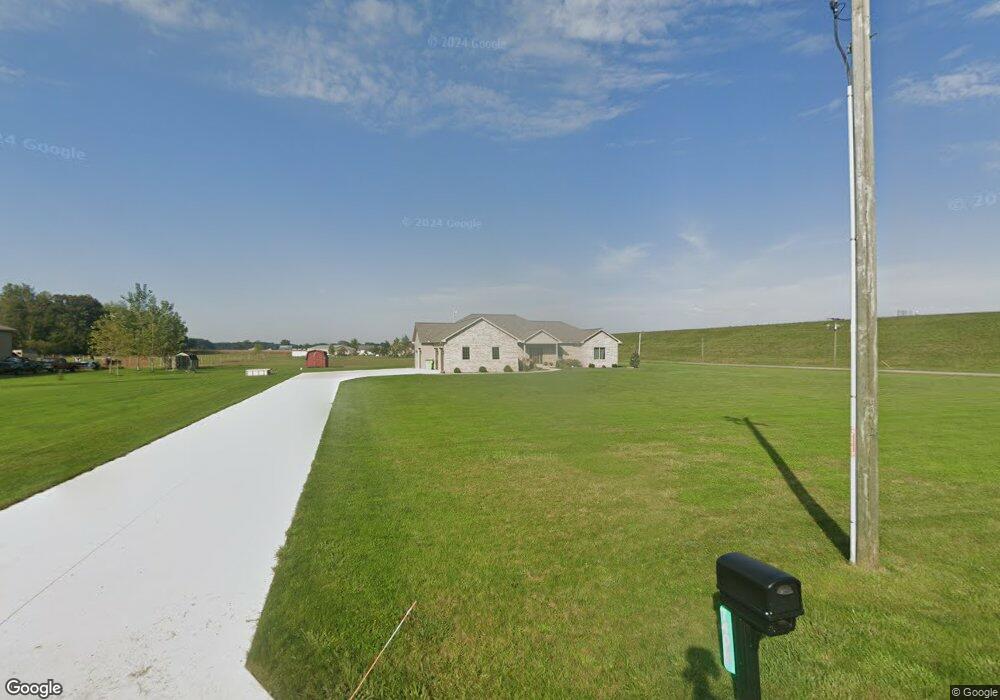
This home is located at 740 S Grubb Rd, Lima, OH 45806 and is currently estimated at $359,400, approximately $164 per square foot. 740 S Grubb Rd is a home with nearby schools including Maplewood Elementary School, Elmwood Elementary School, and Shawnee Middle School.
Ownership History
Date
Name
Owned For
Owner Type
Purchase Details
Closed on
Jun 4, 2014
Sold by
Bear Andrew J and Bear Rachel L
Bought by
Wright Wade P and Wright Beldeana S
Current Estimated Value
Purchase Details
Closed on
Dec 5, 2013
Sold by
Mitchell Andrew D and Mitchell Orluzia L
Bought by
Bear Andrew J and Bear Rachel L
Home Financials for this Owner
Home Financials are based on the most recent Mortgage that was taken out on this home.
Original Mortgage
$55,000
Interest Rate
4.17%
Mortgage Type
Future Advance Clause Open End Mortgage
Purchase Details
Closed on
Feb 22, 2006
Sold by
Good Richard M and Good Leona
Bought by
Duddy James J and Miller Duddy Kimberly A
Purchase Details
Closed on
May 5, 1997
Sold by
Good Richard
Bought by
Hefner David and Hefner Elaine
Purchase Details
Closed on
May 1, 1984
Bought by
Good Richard M
Create a Home Valuation Report for This Property
The Home Valuation Report is an in-depth analysis detailing your home's value as well as a comparison with similar homes in the area
Home Values in the Area
Average Home Value in this Area
Purchase History
| Date | Buyer | Sale Price | Title Company |
|---|---|---|---|
| Wright Wade P | $27,000 | None Available | |
| Bear Andrew J | $52,000 | None Available | |
| Duddy James J | $35,000 | None Available | |
| Hefner David | $12,000 | -- | |
| Good Richard M | $135,000 | -- |
Source: Public Records
Mortgage History
| Date | Status | Borrower | Loan Amount |
|---|---|---|---|
| Previous Owner | Bear Andrew J | $55,000 |
Source: Public Records
Tax History Compared to Growth
Tax History
| Year | Tax Paid | Tax Assessment Tax Assessment Total Assessment is a certain percentage of the fair market value that is determined by local assessors to be the total taxable value of land and additions on the property. | Land | Improvement |
|---|---|---|---|---|
| 2024 | $4,830 | $118,830 | $18,380 | $100,450 |
| 2023 | $4,132 | $91,420 | $14,140 | $77,280 |
| 2022 | $4,138 | $91,420 | $14,140 | $77,280 |
| 2021 | $4,157 | $91,420 | $14,140 | $77,280 |
| 2020 | $3,538 | $82,880 | $14,140 | $68,740 |
| 2019 | $3,538 | $82,880 | $14,140 | $68,740 |
| 2018 | $3,523 | $82,880 | $14,140 | $68,740 |
| 2017 | $316 | $6,410 | $6,410 | $0 |
| 2016 | $518 | $6,410 | $6,410 | $0 |
| 2015 | $181 | $6,410 | $6,410 | $0 |
| 2014 | $181 | $8,960 | $8,960 | $0 |
| 2013 | $771 | $17,890 | $17,890 | $0 |
Source: Public Records
Map
Nearby Homes
- 1069 S Kemp Rd
- 845 Atalan Trail
- 200 Fraunfelter Rd S
- 4875 Wenatchi Trail
- 4803 Kitamat Trail
- 251 Timberfield Dr N
- 5825 Poling Rd
- 550 Tonkawa Trail
- 1734 Woodberry Creek Dr
- 1784 Woodberry Creek Dr
- 7470 Fort Amanda Rd
- 1340 Wonderlick Rd
- 1911 Wonderlick Rd
- 5280 Lobo St
- 4211 Fort Amanda Rd
- 4475 Wintergreen Dr
- 3948 Chestnut Oak Trail
- 0 Colonial Ln
- 1393 N Stevick Rd
- 5103 Hummingbird St