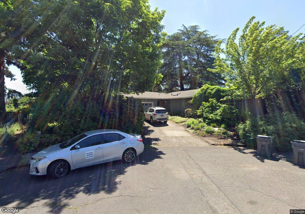
740 W 20th Ave Eugene, OR 97405
Friendly NeighborhoodEstimated Value: $525,000 - $600,000
2
Beds
3
Baths
1,663
Sq Ft
$337/Sq Ft
Est. Value
About This Home
This home is located at 740 W 20th Ave, Eugene, OR 97405 and is currently estimated at $560,865, approximately $337 per square foot. 740 W 20th Ave is a home located in Lane County with nearby schools including Adams Elementary School, Roosevelt Middle School, and South Eugene High School.
Ownership History
Date
Name
Owned For
Owner Type
Purchase Details
Closed on
Aug 6, 2020
Sold by
Mcconnell Mark B and Siewert Mary Beth
Bought by
Mcconnell Mark B and Siewert Mary Beth
Current Estimated Value
Purchase Details
Closed on
Oct 14, 2002
Sold by
Hesch Allan and Anderson Charles E
Bought by
Hesch Allan
Purchase Details
Closed on
Mar 12, 1998
Sold by
Hagen David Carl and Hagen Lois M
Bought by
Mcconnell Mark B and Siewert Mary Beth
Home Financials for this Owner
Home Financials are based on the most recent Mortgage that was taken out on this home.
Original Mortgage
$134,800
Outstanding Balance
$23,147
Interest Rate
7.02%
Estimated Equity
$537,718
Create a Home Valuation Report for This Property
The Home Valuation Report is an in-depth analysis detailing your home's value as well as a comparison with similar homes in the area
Home Values in the Area
Average Home Value in this Area
Purchase History
| Date | Buyer | Sale Price | Title Company |
|---|---|---|---|
| Mcconnell Mark B | -- | None Available | |
| Mcconnell Mark B | -- | None Available | |
| Hesch Allan | $15,000 | Western Pioneer Title Co | |
| Mcconnell Mark B | $168,500 | Evergreen Land Title Co |
Source: Public Records
Mortgage History
| Date | Status | Borrower | Loan Amount |
|---|---|---|---|
| Open | Mcconnell Mark B | $134,800 |
Source: Public Records
Tax History Compared to Growth
Tax History
| Year | Tax Paid | Tax Assessment Tax Assessment Total Assessment is a certain percentage of the fair market value that is determined by local assessors to be the total taxable value of land and additions on the property. | Land | Improvement |
|---|---|---|---|---|
| 2025 | $5,388 | $276,559 | -- | -- |
| 2024 | $5,321 | $268,504 | -- | -- |
| 2023 | $5,321 | $260,684 | $0 | $0 |
| 2022 | $4,985 | $253,092 | $0 | $0 |
| 2021 | $4,682 | $245,721 | $0 | $0 |
| 2020 | $4,699 | $238,565 | $0 | $0 |
| 2019 | $4,538 | $231,617 | $0 | $0 |
| 2018 | $4,272 | $218,321 | $0 | $0 |
| 2017 | $4,080 | $218,321 | $0 | $0 |
| 2016 | $3,979 | $211,962 | $0 | $0 |
| 2015 | $3,865 | $205,788 | $0 | $0 |
| 2014 | $3,787 | $199,794 | $0 | $0 |
Source: Public Records
Map
Nearby Homes
- 1862 Madison St
- 1700 Jefferson St
- 2127 Lawrence St
- 2346 Monroe St
- 518 W 23rd Ave
- 2076 Lincoln St
- 1888 Lincoln St
- 412 W 17th Ave
- 1672 Lawrence St
- 375 W 17th Ave
- 2470 Jefferson St
- 263 W 16th Ave
- 2235 Polk St
- 2485 Jackson St
- 2323 Olive St
- 2550 Lawrence St
- 574 W 13th Ave
- 1324 Washington St
- 1313 Lincoln St Unit 408
- 1313 Lincoln St Unit 602
- 1992 Madison St
- 2050 Madison St
- 1980 Madison St
- 2011 Madison St
- 2011 Monroe St
- 1995 Monroe St
- 1991 Madison St
- 1964 Madison St
- 2051 Monroe St
- 2051 Madison St
- 1985 Monroe St
- 660 W 20th Ave
- 2080 Madison St
- 2075 Madison St
- 1935 Madison St
- 1960 Madison Alley
- 1948 Madison St
- 2081 Monroe St
- 2045 Jefferson Alley
- 695 W 21st Ave