7400 Brophy Rd Howell, MI 48855
Estimated Value: $517,000 - $749,000
Studio
--
Bath
2,544
Sq Ft
$235/Sq Ft
Est. Value
About This Home
This home is located at 7400 Brophy Rd, Howell, MI 48855 and is currently estimated at $598,050, approximately $235 per square foot. 7400 Brophy Rd is a home located in Livingston County with nearby schools including Hartland High School.
Ownership History
Date
Name
Owned For
Owner Type
Purchase Details
Closed on
May 24, 2022
Sold by
Wright James R and Wright Helen A
Bought by
Wright James W and Wright Helen A
Current Estimated Value
Purchase Details
Closed on
May 23, 2022
Sold by
Wright Thomas J
Bought by
Wright Thomas J and Wright James R
Purchase Details
Closed on
Dec 29, 2010
Sold by
Wright James R and Wright Helen A
Bought by
Wright Helen Ann and Wright James R
Home Financials for this Owner
Home Financials are based on the most recent Mortgage that was taken out on this home.
Original Mortgage
$120,000
Interest Rate
4.53%
Mortgage Type
Unknown
Create a Home Valuation Report for This Property
The Home Valuation Report is an in-depth analysis detailing your home's value as well as a comparison with similar homes in the area
Home Values in the Area
Average Home Value in this Area
Purchase History
| Date | Buyer | Sale Price | Title Company |
|---|---|---|---|
| Wright James W | -- | None Listed On Document | |
| Wright Thomas J | -- | None Listed On Document | |
| Wright Thomas J | -- | None Listed On Document | |
| Wright Helen Ann | -- | -- |
Source: Public Records
Mortgage History
| Date | Status | Borrower | Loan Amount |
|---|---|---|---|
| Previous Owner | Wright Helen Ann | $120,000 |
Source: Public Records
Tax History
| Year | Tax Paid | Tax Assessment Tax Assessment Total Assessment is a certain percentage of the fair market value that is determined by local assessors to be the total taxable value of land and additions on the property. | Land | Improvement |
|---|---|---|---|---|
| 2025 | $2,326 | $272,800 | $0 | $0 |
| 2024 | $2,260 | $254,100 | $0 | $0 |
| 2023 | $2,160 | $233,800 | $0 | $0 |
| 2022 | $2,481 | $187,100 | $0 | $0 |
| 2021 | $4,134 | $205,900 | $0 | $0 |
| 2020 | $4,391 | $187,100 | $0 | $0 |
| 2019 | $4,091 | $180,200 | $0 | $0 |
| 2018 | $4,005 | $177,400 | $0 | $0 |
| 2017 | $3,948 | $172,300 | $0 | $0 |
| 2016 | $3,925 | $165,700 | $0 | $0 |
| 2014 | $3,534 | $147,900 | $0 | $0 |
| 2012 | $3,534 | $139,700 | $0 | $0 |
Source: Public Records
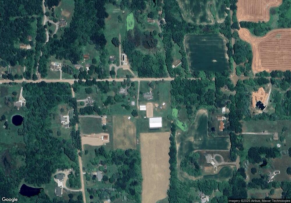
Map
Nearby Homes
- 2981 Musson Rd
- 2300 Musson Rd
- 1908 Nikki Ct
- 2400 N Hacker Rd
- 2333 Torrey Pine Ct
- 2325 Cristina Anne Ct
- 2715 Cullen Rd
- parcelA cullen rd Cullen Rd
- parcel C cullen rd Cullen Rd
- 1928 Mist Wood Dr
- Parcel N N Hacker Rd
- 8620 Southridge Dr
- V/L Argentine Rd
- 1544 Four Seasons Dr
- 7753 Clyde Rd
- 7741 Clyde Rd
- 5154 E Highland Rd
- 2270 Chase Dr Unit 112
- 2245 Chase Dr Unit 107
- 2245 Chase Dr Unit 107
- 7300 Brophy Rd
- 2920 Cinnamon Ridge Rd
- 2962 Cinnamon Ridge Rd
- 7373 Brophy Rd
- 7295 Brophy Rd
- 7295 Brophy Rd
- 2840 Cinnamon Ridge Rd
- 7255 Brophy Rd
- 7269 Brophy Rd
- 2971 Musson Rd
- 2929 Cinnamon Ridge Rd
- 2909 Musson Rd
- 7345 Brophy Rd
- 2855 Musson Rd
- 7237 Brophy Rd
- 2785 Cinnamon Ridge Rd
- 2803 Musson Rd
- 2770 Cinnamon Ridge Rd
- 2728 Cinnamon Ridge Rd
- 7100 Brophy Rd
Your Personal Tour Guide
Ask me questions while you tour the home.