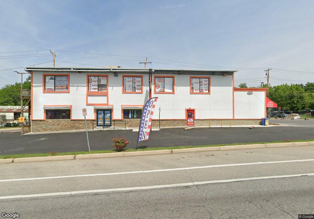
7400 Pulaski Hwy Baltimore, MD 21237
Estimated Value: $777,859
--
Bed
--
Bath
3,836
Sq Ft
$203/Sq Ft
Est. Value
About This Home
This home is located at 7400 Pulaski Hwy, Baltimore, MD 21237 and is currently estimated at $777,859, approximately $202 per square foot. 7400 Pulaski Hwy is a home located in Baltimore County with nearby schools including Elmwood Elementary School, Golden Ring Middle School, and Overlea High School.
Ownership History
Date
Name
Owned For
Owner Type
Purchase Details
Closed on
Nov 18, 2003
Sold by
Brabham Henry
Bought by
Singh Harnek and Kaur Charanjit
Current Estimated Value
Purchase Details
Closed on
Mar 21, 1995
Sold by
Novak Andrew F
Bought by
Brabham Henry
Home Financials for this Owner
Home Financials are based on the most recent Mortgage that was taken out on this home.
Original Mortgage
$165,000
Interest Rate
8.89%
Mortgage Type
Commercial
Purchase Details
Closed on
Jul 27, 1988
Sold by
Fierer Christopher
Bought by
Novak Andrew F
Create a Home Valuation Report for This Property
The Home Valuation Report is an in-depth analysis detailing your home's value as well as a comparison with similar homes in the area
Home Values in the Area
Average Home Value in this Area
Purchase History
| Date | Buyer | Sale Price | Title Company |
|---|---|---|---|
| Singh Harnek | $350,000 | -- | |
| Brabham Henry | $190,000 | -- | |
| Novak Andrew F | $190,000 | -- |
Source: Public Records
Mortgage History
| Date | Status | Borrower | Loan Amount |
|---|---|---|---|
| Open | Brabham Henry | $437,500 | |
| Previous Owner | Brabham Henry | $165,000 |
Source: Public Records
Tax History Compared to Growth
Tax History
| Year | Tax Paid | Tax Assessment Tax Assessment Total Assessment is a certain percentage of the fair market value that is determined by local assessors to be the total taxable value of land and additions on the property. | Land | Improvement |
|---|---|---|---|---|
| 2025 | $8,461 | $580,733 | -- | -- |
| 2024 | $8,461 | $561,767 | $0 | $0 |
| 2023 | $3,669 | $542,800 | $367,900 | $174,900 |
| 2022 | $7,828 | $540,367 | $0 | $0 |
| 2021 | $8,023 | $537,933 | $0 | $0 |
| 2020 | $8,023 | $535,500 | $367,900 | $167,600 |
| 2019 | $7,827 | $533,400 | $0 | $0 |
| 2018 | $9,465 | $531,300 | $0 | $0 |
| 2017 | $8,246 | $529,200 | $0 | $0 |
| 2016 | $7,658 | $511,733 | $0 | $0 |
| 2015 | $7,658 | $494,300 | $0 | $0 |
| 2014 | $7,658 | $543,600 | $0 | $0 |
Source: Public Records
Map
Nearby Homes
- 1601 Odell Ave
- 1217 64th St
- 7403 South Rd
- 2000 Longview Ct
- 1303 Beatty Ave
- 2321 Bluegrass Heights Ct
- 2308 Hamiltowne Cir
- 5416 Parkside Place
- 7848 Oakdale Ave
- 7932 Philadelphia Rd
- 4843 Greencrest Rd
- 2354 Hamiltowne Cir
- 5610 Frankford Ave
- 5900 Hamilton Ave
- 4930 Schaub Ave
- 0 Sinclair Ln Unit MDBA2176348
- 8003 Woodhaven Rd
- 8020 Old Philadelphia Rd
- 1535 Rosewick Ave
- 8006 Woodhaven Ct
- 1604 Summit Ave
- 2111 Summit Ave
- 2111 Summit Ave Unit A
- 7404 Philadelphia Rd
- 7400 Philadelphia Rd
- 7318 Philadelphia Rd
- 1602 Summit Ave
- 1601 Summit Ave
- 0 Rollingside Ave Unit 1007562816
- 0 Rollingside Ave Unit 1006698272
- 0 Rollingside Ave Unit BC7337412
- 0 Rollingside Ave Unit BC8249526
- 0 Rollingside Ave Unit 1004053660
- 7316 Philadelphia Rd
- 7401 Pulaski Hwy
- 1603 Summit Ave
- 7314 Philadelphia Rd
- 1505 Rollingside Ave
- 7305 Heinle Ave
- 1605H Summit Ave