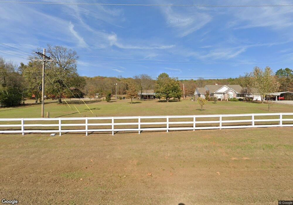
7400 W Highway 64 Mulberry, AR 72947
Estimated Value: $151,000 - $291,000
--
Bed
2
Baths
1,422
Sq Ft
$180/Sq Ft
Est. Value
About This Home
This home is located at 7400 W Highway 64, Mulberry, AR 72947 and is currently estimated at $255,700, approximately $179 per square foot. 7400 W Highway 64 is a home located in Franklin County with nearby schools including Marvin Primary School, Pleasant View Junior High School, and Mulberry High School.
Ownership History
Date
Name
Owned For
Owner Type
Purchase Details
Closed on
Jan 26, 2008
Sold by
Reiswig John W and Reiswig Ella Fern
Bought by
Lane Richard E and Lane Sherry K
Current Estimated Value
Home Financials for this Owner
Home Financials are based on the most recent Mortgage that was taken out on this home.
Original Mortgage
$132,720
Outstanding Balance
$83,760
Interest Rate
6.07%
Mortgage Type
Unknown
Estimated Equity
$171,940
Create a Home Valuation Report for This Property
The Home Valuation Report is an in-depth analysis detailing your home's value as well as a comparison with similar homes in the area
Home Values in the Area
Average Home Value in this Area
Purchase History
| Date | Buyer | Sale Price | Title Company |
|---|---|---|---|
| Lane Richard E | $166,000 | -- |
Source: Public Records
Mortgage History
| Date | Status | Borrower | Loan Amount |
|---|---|---|---|
| Open | Lane Richard E | $132,720 |
Source: Public Records
Tax History Compared to Growth
Tax History
| Year | Tax Paid | Tax Assessment Tax Assessment Total Assessment is a certain percentage of the fair market value that is determined by local assessors to be the total taxable value of land and additions on the property. | Land | Improvement |
|---|---|---|---|---|
| 2024 | $555 | $29,750 | $2,010 | $27,740 |
| 2023 | $633 | $29,750 | $2,010 | $27,740 |
| 2022 | $683 | $29,750 | $2,010 | $27,740 |
| 2021 | $608 | $29,750 | $2,010 | $27,740 |
| 2020 | $610 | $21,420 | $1,640 | $19,780 |
| 2019 | $609 | $21,420 | $1,640 | $19,780 |
| 2018 | $498 | $18,460 | $1,640 | $16,820 |
| 2017 | $495 | $18,460 | $1,640 | $16,820 |
| 2016 | $492 | $18,316 | $1,640 | $16,676 |
| 2015 | $440 | $17,190 | $1,680 | $15,510 |
| 2013 | -- | $17,190 | $1,680 | $15,510 |
Source: Public Records
Map
Nearby Homes
- 7309 Hickory Ridge Rd
- 10117 Beth Lynn Rd
- 9643 Wire Rd
- TBD Scenic View Rd
- 5527 Wire Rd
- 1046 Pleasant Hill Rd
- 101 Reynolds St
- 4503 Dogwood Ln
- 770 Church Ave
- 001 Gin Town Rd
- 206 & 216 W 5th St
- 519 Church Ave
- 206 W 5th St
- 210 W 2nd St
- 6621 Arkansas 215
- TBD Duncan Rd
- 000 N Highway 41
- 0 Citadel Bluff Trail
- 918 Citadel Bluff Trail
- TBD Copper Oak Rd
- 7448 W Highway 64
- 7302 W Highway 64
- 7427 W Highway 64
- 25 Devonshire Dr
- 7516 W Highway 64
- 7222 W Highway 64
- 7210 W Highway 64
- 7128 W Highway 64
- 7121 W Highway 64
- 7347 Hickory Ridge Rd
- 7235 Hickory Ridge Rd
- 7731 W Highway 64
- 6922 Moon Rd
- 6909 Moon Rd
- 6914 Moon Rd
- 8510 Fairview Rd
- 8408 Fairview Rd
- TBD Hickory Ridge Rd
- 9033 Willow Rd
- 7543 Old Highway Rd