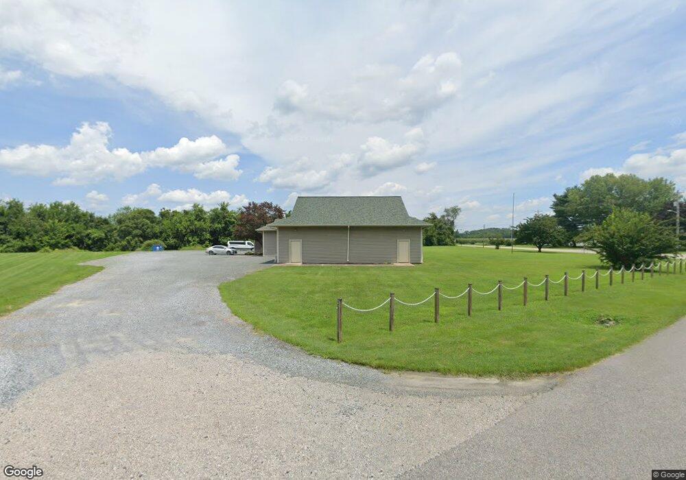
7401 Main St Queenstown, MD 21658
--
Bed
--
Bath
8,209
Sq Ft
2.31
Acres
About This Home
This home is located at 7401 Main St, Queenstown, MD 21658. 7401 Main St is a home located in Queen Anne's County with nearby schools including Kennard Elementary School, Centreville Middle School, and Queen Anne's County High School.
Ownership History
Date
Name
Owned For
Owner Type
Purchase Details
Closed on
Feb 4, 2019
Sold by
Shore Christian Fellowship Inc
Bought by
The Town Commissioners Of Queenstown
Purchase Details
Closed on
Feb 5, 2004
Sold by
Elders Of The New Covenent Church
Bought by
Shore Christian Fellowship Inc
Purchase Details
Closed on
Dec 30, 1986
Sold by
Ciriclio Anthony D
Bought by
Elders Of The New Covenent Church
Home Financials for this Owner
Home Financials are based on the most recent Mortgage that was taken out on this home.
Original Mortgage
$55,000
Interest Rate
9.29%
Create a Home Valuation Report for This Property
The Home Valuation Report is an in-depth analysis detailing your home's value as well as a comparison with similar homes in the area
Home Values in the Area
Average Home Value in this Area
Purchase History
| Date | Buyer | Sale Price | Title Company |
|---|---|---|---|
| The Town Commissioners Of Queenstown | $4,000 | None Available | |
| Shore Christian Fellowship Inc | -- | -- | |
| Elders Of The New Covenent Church | $62,400 | -- |
Source: Public Records
Mortgage History
| Date | Status | Borrower | Loan Amount |
|---|---|---|---|
| Previous Owner | Elders Of The New Covenent Church | $55,000 |
Source: Public Records
Tax History Compared to Growth
Tax History
| Year | Tax Paid | Tax Assessment Tax Assessment Total Assessment is a certain percentage of the fair market value that is determined by local assessors to be the total taxable value of land and additions on the property. | Land | Improvement |
|---|---|---|---|---|
| 2025 | -- | $577,400 | $0 | $0 |
| 2024 | -- | $529,800 | $370,000 | $159,800 |
| 2023 | $0 | $514,300 | $0 | $0 |
| 2022 | $0 | $498,800 | $0 | $0 |
| 2021 | $0 | $483,300 | $330,500 | $152,800 |
| 2020 | $0 | $481,533 | $0 | $0 |
| 2019 | $5,438 | $479,767 | $0 | $0 |
| 2018 | $5,630 | $497,500 | $350,000 | $147,500 |
| 2017 | $5,732 | $495,833 | $0 | $0 |
| 2016 | -- | $494,167 | $0 | $0 |
| 2015 | -- | $492,500 | $0 | $0 |
| 2014 | -- | $492,500 | $0 | $0 |
Source: Public Records
Map
Nearby Homes
- 7204 Main St
- 108 Wall St
- 100 Wall St
- 6915 Main St
- 0 U S 301
- 128 Aker Rd
- 248 Harbor Ln
- 108 Carriage Ln
- 315 Nottingham Ln
- 103 Trevors Ct
- 213 Slippery Hill Ln
- 915 Sportsman Neck Rd
- 149 Unit 141155 SAWMILL Lane
- 201 Sawmill Ln
- 0 Hess Frontage Rd
- 141 Sawmill Ln
- 149 Sawmill Ln
- 155 Sawmill Ln
- 149,141,155 Sawmill Ln
- 111 Mt Mills Ln