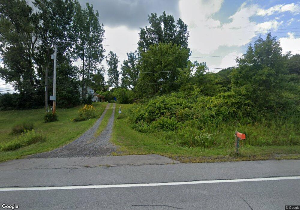
7403 State Route 20a Bloomfield, NY 14469
Estimated Value: $246,000 - $282,000
3
Beds
1
Bath
1,568
Sq Ft
$167/Sq Ft
Est. Value
About This Home
This home is located at 7403 State Route 20a, Bloomfield, NY 14469 and is currently estimated at $262,634, approximately $167 per square foot. 7403 State Route 20a is a home located in Ontario County with nearby schools including Honeoye Elementary School and Honeoye Middle/High School.
Ownership History
Date
Name
Owned For
Owner Type
Purchase Details
Closed on
Dec 26, 2007
Sold by
Thomas Vincent S
Bought by
Thomas-Becker Wanda L
Current Estimated Value
Purchase Details
Closed on
Jun 29, 2006
Sold by
Thomas Peter A
Bought by
Hannold Allan W Yolanda Daliz
Home Financials for this Owner
Home Financials are based on the most recent Mortgage that was taken out on this home.
Original Mortgage
$94,000
Outstanding Balance
$57,037
Interest Rate
6.58%
Estimated Equity
$205,597
Purchase Details
Closed on
Sep 7, 2005
Sold by
Thomas Peter
Bought by
Thomas Peter
Create a Home Valuation Report for This Property
The Home Valuation Report is an in-depth analysis detailing your home's value as well as a comparison with similar homes in the area
Home Values in the Area
Average Home Value in this Area
Purchase History
| Date | Buyer | Sale Price | Title Company |
|---|---|---|---|
| Thomas-Becker Wanda L | -- | Derek G Brocklebank | |
| Hannold Allan W Yolanda Daliz | $105,000 | Margaret Linsner | |
| Thomas Peter | -- | -- |
Source: Public Records
Mortgage History
| Date | Status | Borrower | Loan Amount |
|---|---|---|---|
| Open | Hannold Allan W Yolanda Daliz | $94,000 |
Source: Public Records
Tax History Compared to Growth
Tax History
| Year | Tax Paid | Tax Assessment Tax Assessment Total Assessment is a certain percentage of the fair market value that is determined by local assessors to be the total taxable value of land and additions on the property. | Land | Improvement |
|---|---|---|---|---|
| 2024 | $3,909 | $185,000 | $82,000 | $103,000 |
| 2023 | $3,909 | $185,000 | $82,000 | $103,000 |
| 2022 | $3,698 | $145,000 | $59,000 | $86,000 |
| 2021 | $3,655 | $145,000 | $59,000 | $86,000 |
| 2020 | $3,215 | $145,000 | $59,000 | $86,000 |
| 2019 | $0 | $145,000 | $59,000 | $86,000 |
| 2018 | $2,925 | $125,000 | $50,000 | $75,000 |
| 2017 | $2,848 | $125,000 | $50,000 | $75,000 |
| 2016 | $2,840 | $125,000 | $50,000 | $75,000 |
| 2015 | -- | $125,000 | $50,000 | $75,000 |
| 2014 | -- | $120,000 | $44,900 | $75,100 |
Source: Public Records
Map
Nearby Homes
- 6979 Tilton Rd
- 3724 Oakmount Rd
- 3634 Oakmount Rd
- 4391 Egypt Rd
- 3620 Oakmount Rd
- 6557 County Road 32
- 4508 New York 64
- 6511 Fisher Hill Rd
- 6441 Montanye Rd
- 4551 State Route 64
- 7334 Old Logan Rd
- 3354 Wheeler Station Rd
- 6126 Rossier Rd
- Lot State Route 444 Rd
- 4743 Bear Wood Ln
- 3100 County Road 40
- 6514 State Route 5 and 20
- 47 South Ave
- 39 South Ave
- 0 Dugway Rd Unit R1633623
- 0 Route 20a Unit R921027
- 0 Route 20a Unit R256325
- 0 Route 20a Unit R1397462
- 7404 State Route 20a
- 4012 County Road 2
- 7217 Tilton Rd
- 7410 State Route 20a
- 7235 Tilton Rd
- 6981 Tilton Rd
- 4055 Toneison Rd
- 7071 Tilton Rd
- 4029 Toneison Rd
- 7421 State Route 20a
- 7228 Gregg Rd
- 6971 Tilton Rd
- 7021 State Route 20a
- 7339 Tilton Rd
- 7136 State Route 20a
- 7423 State Route 20a
- 4050 Toneison Rd
