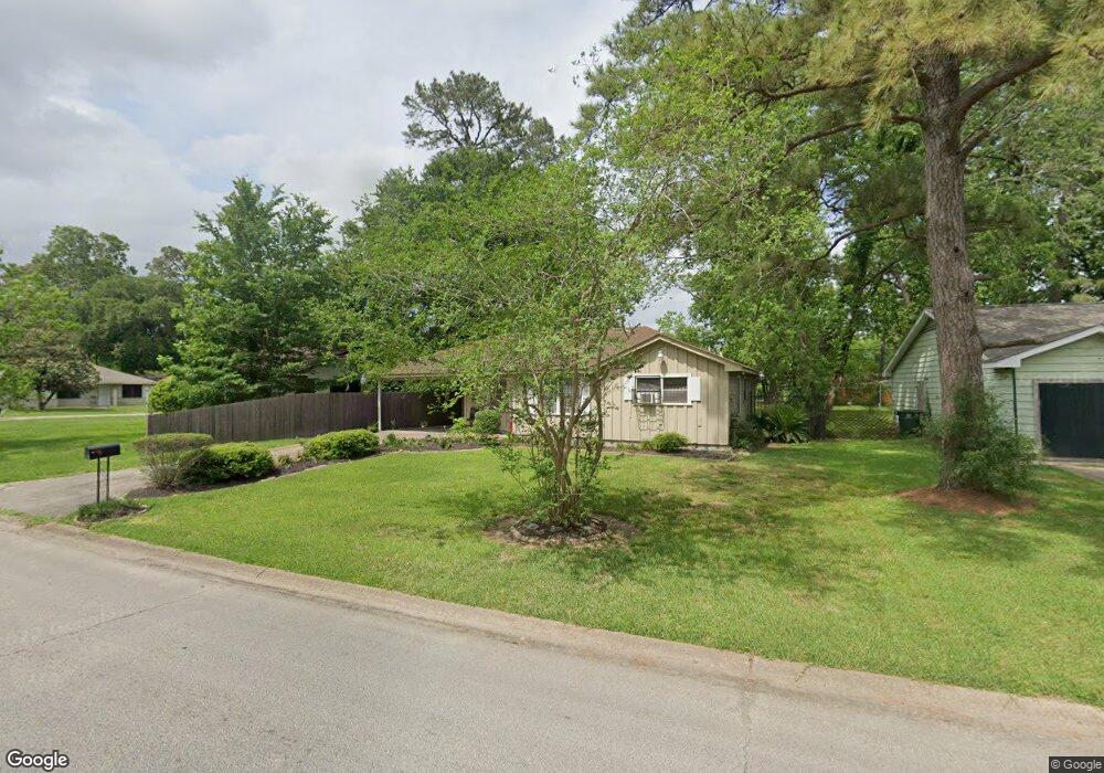
7405 Bretshire Dr Houston, TX 77016
East Little York NeighborhoodEstimated Value: $128,259 - $160,000
3
Beds
1
Bath
966
Sq Ft
$152/Sq Ft
Est. Value
About This Home
This home is located at 7405 Bretshire Dr, Houston, TX 77016 and is currently estimated at $146,565, approximately $151 per square foot. 7405 Bretshire Dr is a home located in Harris County with nearby schools including Shadydale Elementary School, Forest Brook Middle, and North Forest High School.
Ownership History
Date
Name
Owned For
Owner Type
Purchase Details
Closed on
Feb 14, 2013
Sold by
Emmit Moss Trust
Bought by
Norris Content Denise
Current Estimated Value
Home Financials for this Owner
Home Financials are based on the most recent Mortgage that was taken out on this home.
Original Mortgage
$55,500
Outstanding Balance
$38,851
Interest Rate
3.44%
Mortgage Type
New Conventional
Estimated Equity
$107,714
Purchase Details
Closed on
Jul 30, 1997
Sold by
Spearmen Charlie M and Spearman Woodie D
Bought by
Moss Properties Inc
Create a Home Valuation Report for This Property
The Home Valuation Report is an in-depth analysis detailing your home's value as well as a comparison with similar homes in the area
Home Values in the Area
Average Home Value in this Area
Purchase History
| Date | Buyer | Sale Price | Title Company |
|---|---|---|---|
| Norris Content Denise | -- | None Available | |
| Moss Properties Inc | -- | Stewart Title Company |
Source: Public Records
Mortgage History
| Date | Status | Borrower | Loan Amount |
|---|---|---|---|
| Open | Norris Content Denise | $55,500 |
Source: Public Records
Tax History Compared to Growth
Tax History
| Year | Tax Paid | Tax Assessment Tax Assessment Total Assessment is a certain percentage of the fair market value that is determined by local assessors to be the total taxable value of land and additions on the property. | Land | Improvement |
|---|---|---|---|---|
| 2025 | $833 | $108,178 | $51,682 | $56,496 |
| 2024 | $833 | $104,409 | $51,682 | $52,727 |
| 2023 | $833 | $108,745 | $42,771 | $65,974 |
| 2022 | $1,543 | $88,243 | $35,643 | $52,600 |
| 2021 | $1,485 | $74,570 | $26,732 | $47,838 |
| 2020 | $1,402 | $60,024 | $18,534 | $41,490 |
| 2019 | $1,332 | $52,642 | $12,190 | $40,452 |
| 2018 | $1,102 | $43,530 | $12,190 | $31,340 |
| 2017 | $1,101 | $43,530 | $12,190 | $31,340 |
| 2016 | $1,101 | $43,530 | $12,190 | $31,340 |
| 2015 | $734 | $33,510 | $12,190 | $21,320 |
| 2014 | $734 | $28,548 | $12,190 | $16,358 |
Source: Public Records
Map
Nearby Homes
- 7314 Sterlingshire St
- 7338 Bigwood St
- 7242 Bretshire Dr
- 0 Wileyvale Rd Unit 37533417
- 0 Laura Koppe Rd Unit 64066450
- 0 Lockwood Unit 97801497
- 0 Wileyvale Rd Unit 98938709
- 0 Bretshire Dr Unit 83088734
- 0 Bretshire Dr Unit 61965426
- 7218 Bretshire Dr
- 9702 Crofton St
- 7611 Cabot St
- 7305 Yoe St
- 7603 Caddo Rd
- 7402 Yoe St
- 7252 Parker Rd
- 7220 Parker Rd
- 9437 Pembrook St
- 7306 Parker Rd
- 0 Crofton St
- 7409 Bretshire Dr
- 7408 Cabot St
- 7413 Bretshire Dr
- 7409 Claiborne St
- 7412 Cabot St
- 7417 Bretshire Dr
- 7413 Claiborne St
- 7416 Cabot St
- 7401 Cabot St
- 7405 Cabot St
- 7409 Cabot St
- 7330 Bretshire Dr
- 7413 Cabot St
- 7417 Claiborne St
- 7420 Cabot St
- 7417 Cabot St
- 7408 Claiborne St
- 7427 Bretshire Dr
- 7326 Bretshire Dr
- 7302 Sterlingshire St