74055 Parkinson Cir Anchor Point, AK 99556
Estimated Value: $93,000 - $517,795
3
Beds
1
Bath
2,343
Sq Ft
$130/Sq Ft
Est. Value
About This Home
This home is located at 74055 Parkinson Cir, Anchor Point, AK 99556 and is currently estimated at $305,398, approximately $130 per square foot. 74055 Parkinson Cir is a home with nearby schools including Chapman School and Homer High School.
Ownership History
Date
Name
Owned For
Owner Type
Purchase Details
Closed on
Aug 19, 2004
Sold by
Roderick Paul and Roderick Matthew P
Bought by
Roderick Mathew P and Roderick Julia
Current Estimated Value
Purchase Details
Closed on
Aug 6, 2003
Sold by
Roderick Paul E and Roderick Matthew P
Bought by
Roderick Matthew P and Roderick Julia
Home Financials for this Owner
Home Financials are based on the most recent Mortgage that was taken out on this home.
Original Mortgage
$31,688
Interest Rate
5.17%
Mortgage Type
Purchase Money Mortgage
Create a Home Valuation Report for This Property
The Home Valuation Report is an in-depth analysis detailing your home's value as well as a comparison with similar homes in the area
Home Values in the Area
Average Home Value in this Area
Purchase History
| Date | Buyer | Sale Price | Title Company |
|---|---|---|---|
| Roderick Mathew P | -- | First American Title Of Alas | |
| Roderick Matthew P | -- | Kachemak Bay Title Agency In |
Source: Public Records
Mortgage History
| Date | Status | Borrower | Loan Amount |
|---|---|---|---|
| Closed | Roderick Matthew P | $31,688 |
Source: Public Records
Tax History Compared to Growth
Tax History
| Year | Tax Paid | Tax Assessment Tax Assessment Total Assessment is a certain percentage of the fair market value that is determined by local assessors to be the total taxable value of land and additions on the property. | Land | Improvement |
|---|---|---|---|---|
| 2025 | $4,151 | $447,500 | $85,900 | $361,600 |
| 2024 | $4,151 | $452,600 | $85,900 | $366,700 |
| 2023 | $3,903 | $412,400 | $71,900 | $340,500 |
| 2022 | $3,700 | $383,600 | $46,000 | $337,600 |
| 2021 | $3,827 | $370,400 | $44,600 | $325,800 |
| 2020 | $4,789 | $478,000 | $44,600 | $433,400 |
| 2019 | $2,034 | $414,800 | $72,000 | $342,800 |
| 2018 | $3,827 | $393,200 | $64,500 | $328,700 |
| 2017 | $2,822 | $307,700 | $64,500 | $243,200 |
| 2016 | $2,607 | $288,100 | $64,500 | $223,600 |
| 2015 | $4,152 | $299,400 | $64,500 | $234,900 |
| 2014 | $4,152 | $301,800 | $64,500 | $237,300 |
Source: Public Records
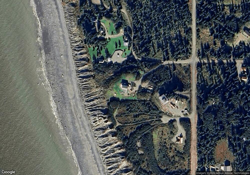
Map
Nearby Homes
- 35144 Danver St
- 73901 Kirtley Ct
- 73956 Desa Ave
- L7 Danver St
- 73528 Breakaway Rd
- 74057 Anchor Point Rd
- 000 Anchor Point Rd
- 73481 Ann Rd
- 35555 Old Sterling Hwy
- 73549 Breakaway Rd
- 35890 Old Sterling Hwy
- 73487 Ann Ct
- 35765 Erin Way
- 73790 Cuffel Ditton Rd
- 35196 Nordic Ct
- 34427 Birch St
- 34405 Birch St
- 34143 Hms Resolution Rd
- 73595 School Ave
- 000 Old Sterling Hwy
- L2 B3 Neap Tide Cir
- 74075 Parkinson Cir
- 74105 Parkinson Cir
- 74085 Parkinson Cir
- L1B Danver St
- L7 B1 Danver
- L3 High Seas Ct
- L4 High Seas Ct
- L5 High Seas Ct
- L3B High Seas Ct
- L3A High Seas Ct
- 35385 Danver St
- 35422 Danver St
- 73939 Stovall Ave
- 000 Seaward - Danver
- L1B Reba Way
- 73985 Seabury Rd
- 73955 Seabury Rd
- 35227 Moffit Place
- 35835 Danver St