7408 Todds Wharf Rd Preston, MD 21655
Estimated Value: $416,872 - $541,000
--
Bed
3
Baths
2,344
Sq Ft
$197/Sq Ft
Est. Value
About This Home
This home is located at 7408 Todds Wharf Rd, Preston, MD 21655 and is currently estimated at $461,968, approximately $197 per square foot. 7408 Todds Wharf Rd is a home located in Caroline County with nearby schools including Preston Elementary School, Colonel Richardson Middle School, and Colonel Richardson High School.
Ownership History
Date
Name
Owned For
Owner Type
Purchase Details
Closed on
May 4, 1999
Sold by
Mahon Edward S and Mahon Mary Kathryn
Bought by
Wilson Kent George
Current Estimated Value
Purchase Details
Closed on
Jan 3, 1995
Sold by
Martin Ronald C
Bought by
Mahon Edward S and Mahon Mary Kathryn
Purchase Details
Closed on
Sep 29, 1992
Sold by
Shore Associates A Md General
Bought by
Martin Ronald C
Home Financials for this Owner
Home Financials are based on the most recent Mortgage that was taken out on this home.
Original Mortgage
$119,000
Interest Rate
8.02%
Create a Home Valuation Report for This Property
The Home Valuation Report is an in-depth analysis detailing your home's value as well as a comparison with similar homes in the area
Home Values in the Area
Average Home Value in this Area
Purchase History
| Date | Buyer | Sale Price | Title Company |
|---|---|---|---|
| Wilson Kent George | $149,900 | -- | |
| Mahon Edward S | $150,000 | -- | |
| Martin Ronald C | $150,000 | -- |
Source: Public Records
Mortgage History
| Date | Status | Borrower | Loan Amount |
|---|---|---|---|
| Previous Owner | Martin Ronald C | $119,000 | |
| Closed | Mahon Edward S | -- |
Source: Public Records
Tax History Compared to Growth
Tax History
| Year | Tax Paid | Tax Assessment Tax Assessment Total Assessment is a certain percentage of the fair market value that is determined by local assessors to be the total taxable value of land and additions on the property. | Land | Improvement |
|---|---|---|---|---|
| 2025 | $2,920 | $282,300 | $83,000 | $199,300 |
| 2024 | $2,920 | $261,900 | $0 | $0 |
| 2023 | $2,697 | $241,500 | $0 | $0 |
| 2022 | $2,474 | $221,100 | $83,000 | $138,100 |
| 2021 | $2,474 | $221,100 | $83,000 | $138,100 |
| 2020 | $2,474 | $221,100 | $83,000 | $138,100 |
| 2019 | $2,497 | $223,200 | $75,500 | $147,700 |
| 2018 | $2,497 | $223,200 | $75,500 | $147,700 |
| 2017 | $2,497 | $223,200 | $0 | $0 |
| 2016 | -- | $225,800 | $0 | $0 |
| 2015 | $2,260 | $225,800 | $0 | $0 |
| 2014 | $2,260 | $225,800 | $0 | $0 |
Source: Public Records
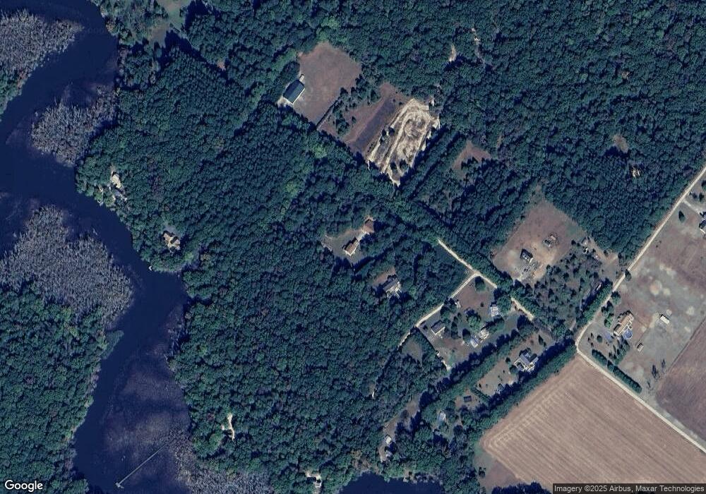
Map
Nearby Homes
- 7837 Shore Dr
- 7844 Shore Dr
- 0 Laurel Ln
- 23296 Wilder Way
- 8556 Tuckahoe Rd
- 6101 Bethlehem Rd
- 8816 Dorothy Ln
- 6401 Laurel Grove Rd
- 8197 Detour Rd
- 0 Asbury Dr
- 6140 Laurel Grove Rd
- LOT #6 High Banks Dr
- 0 High Banks Dr
- 24324 Asbury Dr
- 8409 Harmony Rd
- 8452 Harmony Rd
- 25035 Auction Rd
- 22408 Hog Creek Rd
- lot 6 Harmony Woods Dr
- 7881 Dyer Rd
- 7392 Todds Wharf Rd
- 7446 Todds Wharf Rd
- 7380 Todds Wharf Rd
- 7364 Todds Wharf Rd
- 7400 Todds Wharf Rd
- 7373 Todds Wharf Rd
- 7450 Todds Wharf Rd
- 7396 Todds Wharf Rd
- 7360 Todds Wharf Rd
- 7346 Todds Wharf Rd
- 7350 Todds Wharf Rd
- 7343 Todds Wharf Rd
- 7460 Todds Wharf Rd
- 7347 Todds Wharf Rd
- 7280 Todds Wharf Rd
- 7274 Todds Wharf Rd
- 7351 Todds Wharf Rd
- 7305 Todds Wharf Rd
- 23558 Gilpin Point Rd
- 7284 Todds Wharf Rd