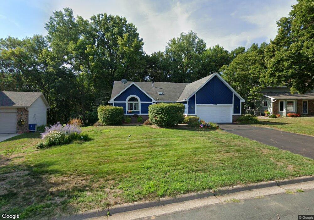
7409 W 112th St Bloomington, MN 55438
West Bloomington NeighborhoodEstimated Value: $485,000 - $580,000
About This Home
This home is located at 7409 W 112th St, Bloomington, MN 55438 and is currently estimated at $535,287, approximately $376 per square foot. 7409 W 112th St is a home located in Hennepin County with nearby schools including Olson Elementary School, Olson Middle School, and Jefferson Senior High School.
Ownership History
We collect this data history from publicly available records. To have your information removed, we recommend requesting removal directly through your county’s website.
Purchase Details
Purchase Details
Purchase Details
Home Values in the Area
Average Home Value in this Area
Purchase History
We collect this data history from publicly available records. To have your information removed, we recommend requesting removal directly through your county’s website.
| Date | Buyer | Sale Price | Title Company |
|---|---|---|---|
| $321,500 | -- | ||
| $226,500 | -- | ||
| $219,000 | -- |
Tax History
We collect this data history from publicly available records. To have your information removed, we recommend requesting removal directly through your county’s website.
| Year | Tax Paid | Tax Assessment Tax Assessment Total Assessment is a certain percentage of the fair market value that is determined by local assessors to be the total taxable value of land and additions on the property. | Land | Improvement |
|---|---|---|---|---|
| 2024 | $6,833 | $522,500 | $193,700 | $328,800 |
| 2023 | $6,487 | $532,400 | $205,900 | $326,500 |
| 2022 | $5,942 | $525,100 | $190,600 | $334,500 |
| 2021 | $5,382 | $464,000 | $181,800 | $282,200 |
| 2020 | $5,636 | $424,400 | $173,500 | $250,900 |
| 2019 | $5,290 | $432,100 | $173,500 | $258,600 |
| 2018 | $4,822 | $399,100 | $170,600 | $228,500 |
| 2017 | $4,504 | $337,600 | $151,800 | $185,800 |
| 2016 | $4,754 | $337,500 | $141,500 | $196,000 |
| 2015 | $4,622 | $317,100 | $135,100 | $182,000 |
| 2014 | -- | $304,200 | $130,900 | $173,300 |
Map
- 7628 Auto Club Cir
- 11106 Oregon Ave S
- 7317 Auto Club Rd
- 11204 Virginia Rd
- 11039 Oregon Cir Unit 60
- 7302 W 110th St
- 11380 Louisiana Cir
- 7024 W 113th St
- 10929 Rhode Island Ave S Unit 8
- 11409 Louisiana Ave S
- 7170 Kenmare Dr
- 7180 Kenmare Dr
- 10954 Yukon Ave S
- 6954 Kenmare Dr
- 7440 Landau Curve
- 7449 Landau Dr
- 7357 Landau Dr
- 10600 Wyoming Rd S
- 7920 W 107th Street Cir
- 7743 Countryside Dr
- 7417 W 112th St
- 7401 W 112th St
- 7524 Auto Club Cir
- 7425 W 112th St
- 7325 W 112th St
- 7410 W 112th St
- 7520 Auto Club Cir
- 7400 W 112th St
- 11175 Rhode Island Ave S
- 7528 Auto Club Cir
- 7317 W 112th St
- 7501 W 112th St
- 7320 W 112th St
- 11167 Rhode Island Ave S
- 7516 Auto Club Cir
- 7509 W 112th St
- 7330 W 114th Street Cir
- 11159 Rhode Island Ave S
- 7532 Auto Club Cir
- 7309 W 112th St
Ask me questions while you tour the home.