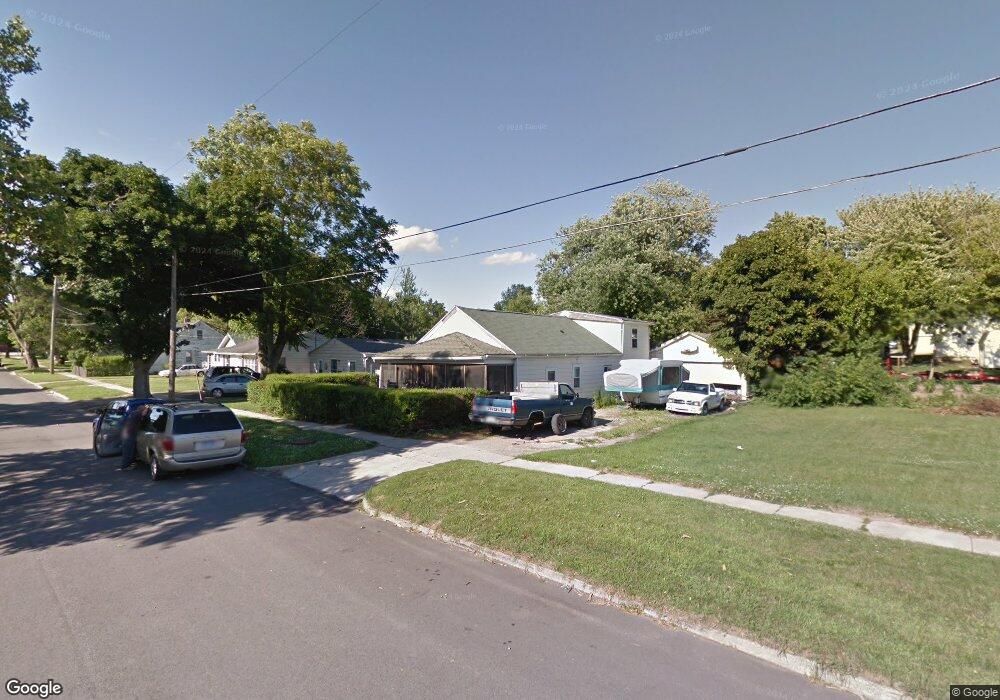
741 Caton Ave Adrian, MI 49221
Estimated Value: $86,546 - $149,000
Studio
--
Bath
1,325
Sq Ft
$87/Sq Ft
Est. Value
About This Home
This home is located at 741 Caton Ave, Adrian, MI 49221 and is currently estimated at $115,137, approximately $86 per square foot. 741 Caton Ave is a home located in Lenawee County with nearby schools including Adrian High School, Berean Baptist Academy, and St. Stephen Lutheran School.
Ownership History
Date
Name
Owned For
Owner Type
Purchase Details
Closed on
Sep 30, 2020
Sold by
Malone Sara E and Kirkpatrick Chad D
Bought by
Garrison Roger
Current Estimated Value
Purchase Details
Closed on
Mar 1, 2019
Sold by
Lenawee County Of
Bought by
Kirkpatrick Chad and Kirkpatrick Malone
Purchase Details
Closed on
Jun 9, 2014
Sold by
Kirkpatrick Kenneth L and Kirkpatrick Paula K
Bought by
Malone Sara E and Kirkpatricke Chad D
Purchase Details
Closed on
May 17, 2013
Sold by
Bates Hansford
Bought by
Kirppatrick Keiith L and Kirppatrick Paula K
Create a Home Valuation Report for This Property
The Home Valuation Report is an in-depth analysis detailing your home's value as well as a comparison with similar homes in the area
Home Values in the Area
Average Home Value in this Area
Purchase History
| Date | Buyer | Sale Price | Title Company |
|---|---|---|---|
| Garrison Roger | $12,500 | None Available | |
| Kirkpatrick Chad | $1,067 | None Available | |
| Malone Sara E | -- | None Available | |
| Kirppatrick Keiith L | $13,500 | None Available |
Source: Public Records
Tax History
| Year | Tax Paid | Tax Assessment Tax Assessment Total Assessment is a certain percentage of the fair market value that is determined by local assessors to be the total taxable value of land and additions on the property. | Land | Improvement |
|---|---|---|---|---|
| 2025 | $1,657 | $28,700 | $0 | $0 |
| 2024 | $13 | $26,200 | $0 | $0 |
| 2023 | $1,884 | $23,700 | $0 | $0 |
| 2022 | $2,510 | $22,800 | $0 | $0 |
| 2021 | $1,401 | $20,600 | $0 | $0 |
| 2020 | $914 | $19,400 | $0 | $0 |
| 2019 | $761 | $19,500 | $0 | $0 |
| 2018 | $888 | $23,677 | $0 | $0 |
| 2017 | $864 | $17,709 | $0 | $0 |
| 2016 | $953 | $19,812 | $0 | $0 |
| 2014 | -- | $19,300 | $0 | $0 |
Source: Public Records
Map
Nearby Homes
- 2000 W Beecher St
- 839 Dennis St
- 227 Jordan St
- 632 Division St
- 217 Red River Dr
- 625 Division St
- 301 Hidden River Dr
- 404 S Mckenzie St
- 521 Rio Grande Dr
- 313 Rice St
- 1042 Oram Dr
- 1062 Oram Dr
- 705 College Ave
- 809 Missouri River Dr
- 603 S Center St
- 1060 Scottdale Dr
- 169 Park St
- 228 W Church St
- 143 Park St
- 5000 BLK LOT B S Adrian Hwy
Your Personal Tour Guide
Ask me questions while you tour the home.