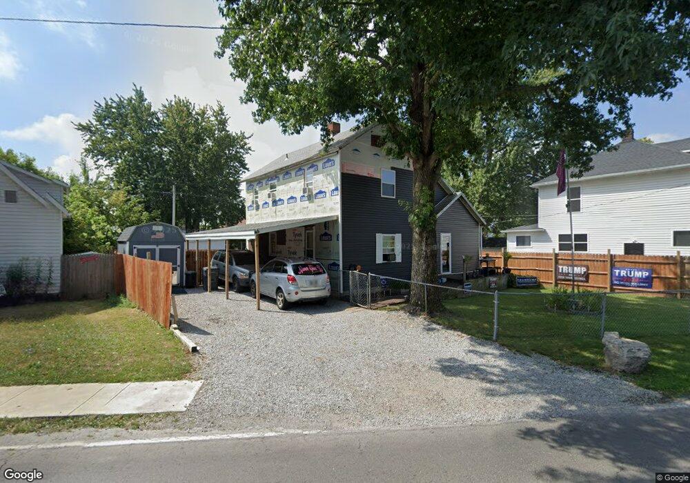
741 Delphos Ave Lima, OH 45801
Central Lima NeighborhoodEstimated Value: $75,000 - $90,000
2
Beds
1
Bath
1,332
Sq Ft
$60/Sq Ft
Est. Value
About This Home
This home is located at 741 Delphos Ave, Lima, OH 45801 and is currently estimated at $80,460, approximately $60 per square foot. 741 Delphos Ave is a home located in Allen County with nearby schools including Heritage Elementary School, Lima North Middle School, and Lima West Middle School.
Ownership History
Date
Name
Owned For
Owner Type
Purchase Details
Closed on
Jun 5, 1996
Sold by
Lima Land Co
Bought by
Miller Leonard and Pursell Shelia
Current Estimated Value
Purchase Details
Closed on
Nov 24, 1993
Sold by
Kaser Dennis Eugene
Bought by
Dickason Oren E
Purchase Details
Closed on
Feb 1, 1981
Bought by
Kaser Dennis Eugene
Create a Home Valuation Report for This Property
The Home Valuation Report is an in-depth analysis detailing your home's value as well as a comparison with similar homes in the area
Home Values in the Area
Average Home Value in this Area
Purchase History
| Date | Buyer | Sale Price | Title Company |
|---|---|---|---|
| Miller Leonard | $28,000 | -- | |
| Dickason Oren E | $17,100 | -- | |
| Kaser Dennis Eugene | $22,900 | -- |
Source: Public Records
Tax History Compared to Growth
Tax History
| Year | Tax Paid | Tax Assessment Tax Assessment Total Assessment is a certain percentage of the fair market value that is determined by local assessors to be the total taxable value of land and additions on the property. | Land | Improvement |
|---|---|---|---|---|
| 2024 | $599 | $15,610 | $2,730 | $12,880 |
| 2023 | $601 | $13,690 | $2,380 | $11,310 |
| 2022 | $603 | $13,690 | $2,380 | $11,310 |
| 2021 | $637 | $13,690 | $2,380 | $11,310 |
| 2020 | $639 | $12,360 | $2,310 | $10,050 |
| 2019 | $639 | $12,180 | $2,310 | $9,870 |
| 2018 | $629 | $12,010 | $2,310 | $9,700 |
| 2017 | $633 | $12,010 | $2,310 | $9,700 |
| 2016 | $642 | $12,010 | $2,310 | $9,700 |
| 2015 | $645 | $12,010 | $2,310 | $9,700 |
| 2014 | $645 | $11,910 | $2,420 | $9,490 |
| 2013 | $629 | $11,910 | $2,420 | $9,490 |
Source: Public Records
Map
Nearby Homes
- 745 Brice Ave
- 627 Brice Ave
- 612 N Metcalf St
- 434 N Washington St
- 708 N Metcalf St
- 631 Hazel Ave
- 618 Woodward Ave
- 638 Hazel Ave
- 325 N McDonel St
- 648 Hazel Ave
- 416 Hazel Ave
- 606 N West St
- 576 Cortlandt Ave
- 14 House Package
- 1023 Leland Ave
- 676 Cortlandt Ave
- 616 N Elizabeth St
- 1120 Richie Ave
- 222 W Grand Ave
- 1036 W High St