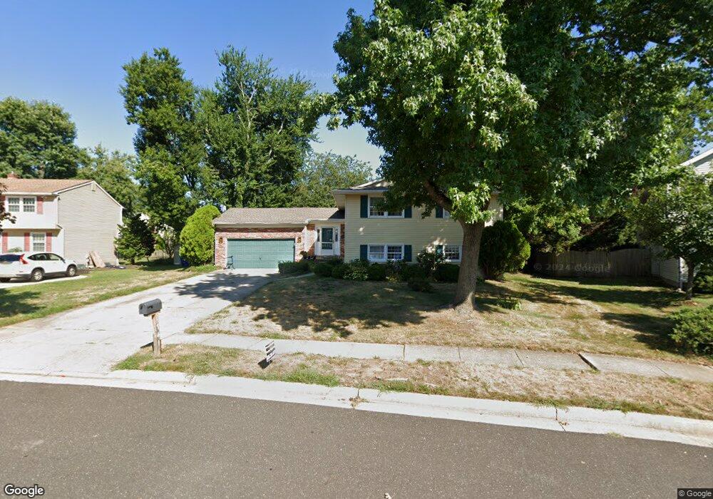
741 Grant Rd Mount Laurel, NJ 08054
Estimated Value: $596,000 - $641,000
4
Beds
3
Baths
2,224
Sq Ft
$277/Sq Ft
Est. Value
About This Home
This home is located at 741 Grant Rd, Mount Laurel, NJ 08054 and is currently estimated at $616,290, approximately $277 per square foot. 741 Grant Rd is a home located in Burlington County with nearby schools including Hillside Elementary School, T.E. Harrington Middle School, and Mount Laurel Hartford School.
Ownership History
Date
Name
Owned For
Owner Type
Purchase Details
Closed on
Jun 9, 2006
Sold by
Barron Robert T
Bought by
Flam Rami and Flam Varda
Current Estimated Value
Home Financials for this Owner
Home Financials are based on the most recent Mortgage that was taken out on this home.
Original Mortgage
$34,000
Outstanding Balance
$20,118
Interest Rate
6.59%
Mortgage Type
Credit Line Revolving
Estimated Equity
$596,172
Create a Home Valuation Report for This Property
The Home Valuation Report is an in-depth analysis detailing your home's value as well as a comparison with similar homes in the area
Home Values in the Area
Average Home Value in this Area
Purchase History
| Date | Buyer | Sale Price | Title Company |
|---|---|---|---|
| Flam Rami | $340,000 | None Available |
Source: Public Records
Mortgage History
| Date | Status | Borrower | Loan Amount |
|---|---|---|---|
| Open | Flam Rami | $34,000 | |
| Open | Flam Rami | $272,000 |
Source: Public Records
Tax History
| Year | Tax Paid | Tax Assessment Tax Assessment Total Assessment is a certain percentage of the fair market value that is determined by local assessors to be the total taxable value of land and additions on the property. | Land | Improvement |
|---|---|---|---|---|
| 2025 | $8,922 | $282,600 | $88,000 | $194,600 |
| 2024 | $8,585 | $282,600 | $88,000 | $194,600 |
| 2023 | $8,585 | $282,600 | $88,000 | $194,600 |
| 2022 | $8,412 | $277,800 | $88,000 | $189,800 |
| 2021 | $8,253 | $277,800 | $88,000 | $189,800 |
| 2020 | $8,092 | $277,800 | $88,000 | $189,800 |
| 2019 | $8,009 | $277,800 | $88,000 | $189,800 |
| 2018 | $7,948 | $277,800 | $88,000 | $189,800 |
| 2017 | $7,742 | $277,800 | $88,000 | $189,800 |
| 2016 | $7,626 | $277,800 | $88,000 | $189,800 |
| 2015 | $7,537 | $277,800 | $88,000 | $189,800 |
| 2014 | $7,462 | $277,800 | $88,000 | $189,800 |
Source: Public Records
Map
Nearby Homes
- 840 Lafayette Dr
- 517 Perry Dr
- 23 Emory Ln
- 6 Panorama Ct
- 17 White Stone Ct
- 12 Taconia Ct
- 4873 Church Rd
- 32 Hearthstone Ln
- 712 Tranquility Turn
- 4510 Church Rd
- 23 E Oleander Dr
- 3 Avandale Ct
- 11 Claret Ct
- 9 Avandale Ct
- 98B Red Cedar Ct
- 104B Sumac Ct Unit 104B
- 112 Village Ln Unit 112
- 14 Merlot Ct
- 4907 Church Rd
- 20 Rose Ct
Your Personal Tour Guide
Ask me questions while you tour the home.