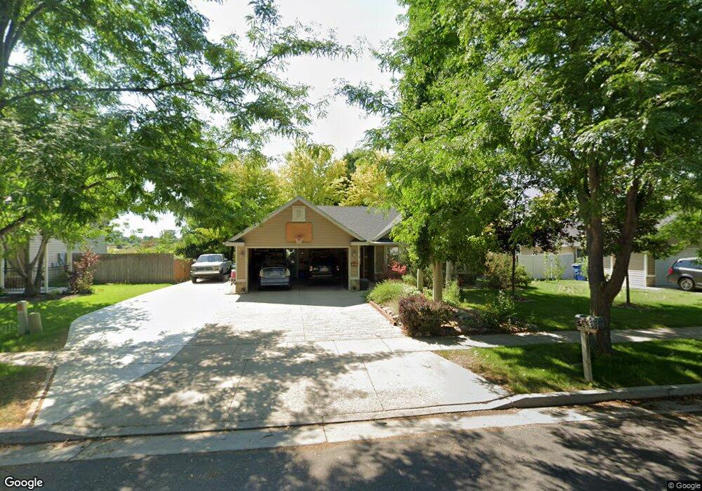
741 S 1580 W Logan, UT 84321
Woodruff NeighborhoodEstimated Value: $381,338 - $408,000
3
Beds
2
Baths
1,200
Sq Ft
$329/Sq Ft
Est. Value
About This Home
This home is located at 741 S 1580 W, Logan, UT 84321 and is currently estimated at $394,835, approximately $329 per square foot. 741 S 1580 W is a home with nearby schools including Woodruff School, Mount Logan Middle School, and Logan High School.
Ownership History
Date
Name
Owned For
Owner Type
Purchase Details
Closed on
Jul 27, 2018
Sold by
Brien Gary R O and Rittenour Tammy M
Bought by
Brien Gary R O and Rittenour Tammy M
Current Estimated Value
Purchase Details
Closed on
Oct 12, 2005
Sold by
Bj Christensen Inc
Bought by
Obrien Gary and Rittenour Tammy
Home Financials for this Owner
Home Financials are based on the most recent Mortgage that was taken out on this home.
Original Mortgage
$117,525
Outstanding Balance
$62,004
Interest Rate
5.63%
Mortgage Type
New Conventional
Estimated Equity
$332,831
Purchase Details
Closed on
Apr 14, 2005
Sold by
Green Meadows Properties Llc
Bought by
Bj Christensen Inc
Home Financials for this Owner
Home Financials are based on the most recent Mortgage that was taken out on this home.
Original Mortgage
$101,625
Interest Rate
5.77%
Mortgage Type
Future Advance Clause Open End Mortgage
Create a Home Valuation Report for This Property
The Home Valuation Report is an in-depth analysis detailing your home's value as well as a comparison with similar homes in the area
Home Values in the Area
Average Home Value in this Area
Purchase History
| Date | Buyer | Sale Price | Title Company |
|---|---|---|---|
| Brien Gary R O | -- | None Available | |
| Obrien Gary | -- | Cache Title Company | |
| Bj Christensen Inc | -- | Cache Title Company |
Source: Public Records
Mortgage History
| Date | Status | Borrower | Loan Amount |
|---|---|---|---|
| Open | Obrien Gary | $117,525 | |
| Previous Owner | Bj Christensen Inc | $101,625 |
Source: Public Records
Tax History
| Year | Tax Paid | Tax Assessment Tax Assessment Total Assessment is a certain percentage of the fair market value that is determined by local assessors to be the total taxable value of land and additions on the property. | Land | Improvement |
|---|---|---|---|---|
| 2025 | $1,510 | $195,315 | $0 | $0 |
| 2024 | $1,563 | $195,815 | $0 | $0 |
| 2023 | $1,614 | $192,735 | $0 | $0 |
| 2022 | $1,452 | $161,930 | $0 | $0 |
| 2021 | $1,418 | $244,340 | $44,000 | $200,340 |
| 2020 | $1,470 | $227,885 | $44,000 | $183,885 |
| 2019 | $1,536 | $227,885 | $44,000 | $183,885 |
| 2018 | $1,506 | $203,900 | $44,000 | $159,900 |
| 2017 | $1,191 | $85,305 | $0 | $0 |
| 2016 | $1,235 | $85,305 | $0 | $0 |
| 2015 | $1,128 | $77,805 | $0 | $0 |
| 2014 | $1,020 | $77,805 | $0 | $0 |
| 2013 | -- | $77,805 | $0 | $0 |
Source: Public Records
Map
Nearby Homes
- 1506 Silver Canoe Loop
- 539 S 1580 W Unit 121
- 1772 W Rivergate Dr
- 552 S W Rivergate Dr
- 1788 W Rivergate Dr
- 524 S W Rivergate Dr
- 1615 W Silver Canoe Way
- 1609 W Silver Canoe Way
- 1603 W Silver Canoe Way
- 1585 W Silver Canoe Way
- 1615 Silver Canoe Way
- 420 S 1400 W
- 1239 W 575 S
- 1210 W 575 S Unit 163
- 1210 W 575 S
- 1204 W 575 S
- 1214 W 575 S
- 551 S 1215 W Unit 131
- 539 S 1215 W Unit 129
- 508 S 1215 W Unit 144
Your Personal Tour Guide
Ask me questions while you tour the home.