741 Upper Hoback River Rd Bondurant, WY 82922
Estimated Value: $956,603
1
Bed
1
Bath
1,232
Sq Ft
$776/Sq Ft
Est. Value
About This Home
This home is located at 741 Upper Hoback River Rd, Bondurant, WY 82922 and is currently estimated at $956,603, approximately $776 per square foot. 741 Upper Hoback River Rd is a home located in Sublette County with nearby schools including Pinedale High School.
Ownership History
Date
Name
Owned For
Owner Type
Purchase Details
Closed on
Sep 4, 2025
Sold by
Sherrill Gregg
Bought by
Stumpy Llc
Current Estimated Value
Purchase Details
Closed on
Aug 21, 2025
Sold by
Upper Hoback River Ranch Llc
Bought by
Sherrill Gregg
Purchase Details
Closed on
Mar 7, 2011
Sold by
Jones Virginia K
Bought by
Mawyer Jennifer J and Richard D Jones Irrevocable Trust
Create a Home Valuation Report for This Property
The Home Valuation Report is an in-depth analysis detailing your home's value as well as a comparison with similar homes in the area
Home Values in the Area
Average Home Value in this Area
Purchase History
| Date | Buyer | Sale Price | Title Company |
|---|---|---|---|
| Stumpy Llc | -- | First American Title | |
| Hg/Gs Ranch Llc | -- | First American Title | |
| Sherrill Gregg | -- | None Listed On Document | |
| Mawyer Jennifer J | -- | None Available |
Source: Public Records
Tax History Compared to Growth
Tax History
| Year | Tax Paid | Tax Assessment Tax Assessment Total Assessment is a certain percentage of the fair market value that is determined by local assessors to be the total taxable value of land and additions on the property. | Land | Improvement |
|---|---|---|---|---|
| 2025 | $3,409 | $53,754 | $9,777 | $43,977 |
| 2024 | $8,184 | $132,702 | $76,451 | $56,251 |
| 2023 | $8,082 | $133,374 | $73,696 | $59,678 |
| 2022 | $5,448 | $88,793 | $39,465 | $49,328 |
| 2021 | $4,602 | $78,239 | $37,950 | $40,289 |
| 2020 | $4,602 | $76,738 | $37,193 | $39,545 |
| 2019 | $4,538 | $76,521 | $37,193 | $39,328 |
| 2018 | $4,097 | $69,188 | $31,683 | $37,505 |
| 2017 | $3,322 | $56,218 | $31,683 | $24,535 |
| 2016 | $3,079 | $52,214 | $28,405 | $23,809 |
| 2015 | -- | $52,241 | $28,405 | $23,836 |
| 2014 | -- | $51,916 | $28,405 | $23,511 |
| 2013 | -- | $53,523 | $30,875 | $22,648 |
Source: Public Records
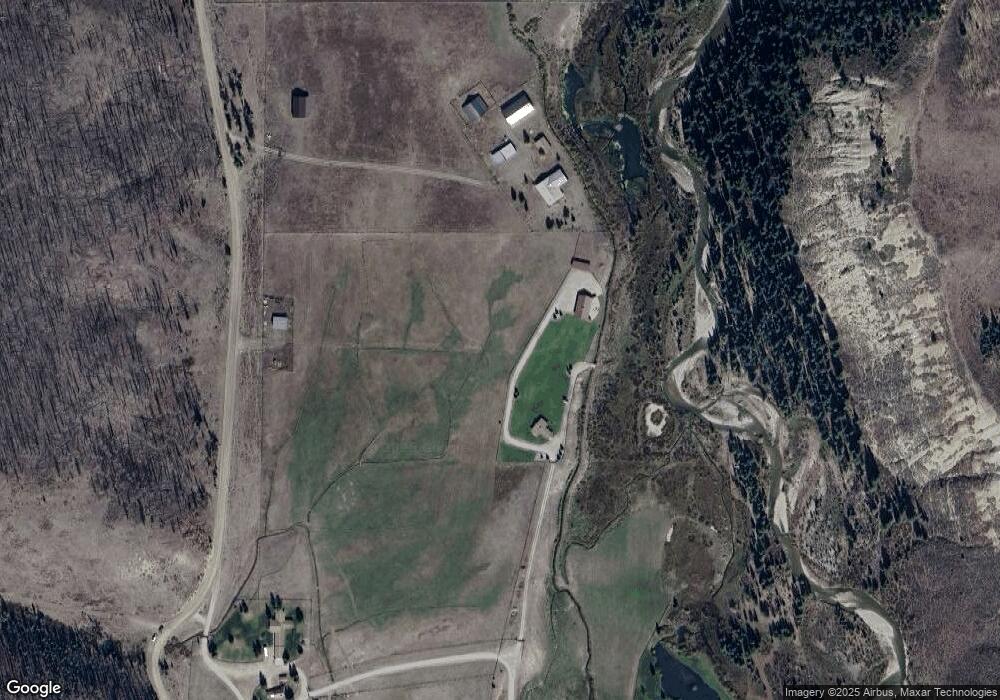
Map
Nearby Homes
- TBD Carroll Ln
- 40 ACRES Merna N Beaver 23-115
- 13981 Us Hwy 189 & 191
- 127 Mountain View Dr
- LOT 2 Knori Minor Subdivision
- 14165 S U Hwy 189 & 191
- 118 Upper Picnic Ridge Rd
- 0 Tbd Mountain View Dr
- 0 Tbd Chippewaugh Dr
- 14268 U S 191
- 62 Skyline Dr
- 13 Spirit Winds Way
- 807 Merna North Beaver Rd
- TBD Fisherman Creek Chippewaugh Rd
- 80 ACRES Merna North Beaver Rd
- TBD Merna North Beaver Rd
- 0 Aspen Ridge Tract 3 Unit 24-677
- 14567 S U Hwy 189 & 191
- 14567 S Us Hwy 189 & 191 Hwy
- 71 Sterling Dr