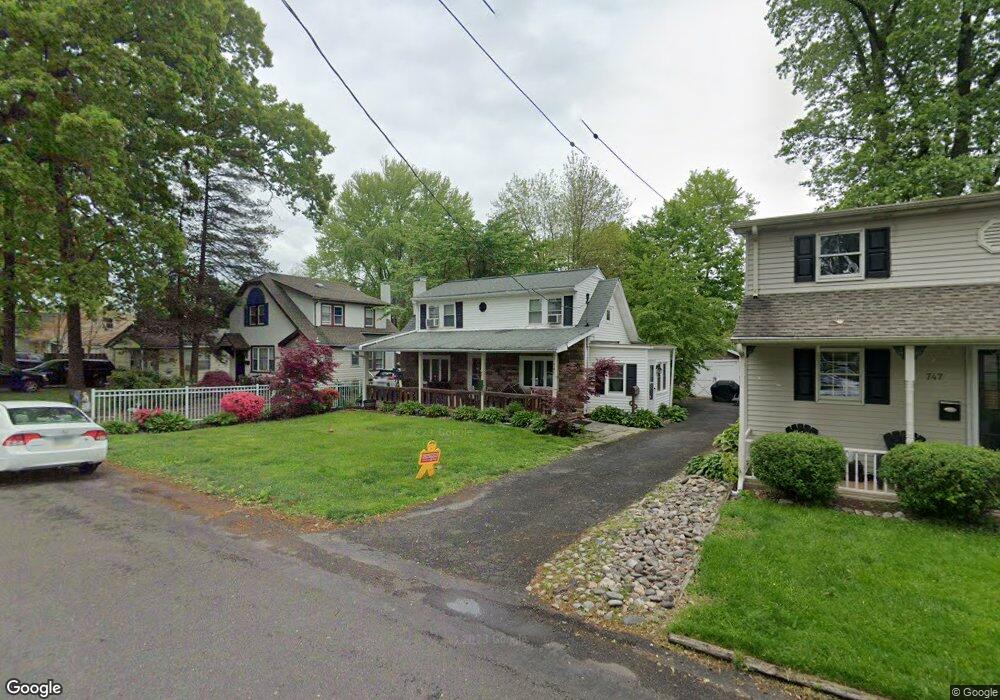
741 Walnut Ave Langhorne, PA 19047
Estimated Value: $251,000 - $371,000
2
Beds
1
Bath
1,260
Sq Ft
$259/Sq Ft
Est. Value
About This Home
This home is located at 741 Walnut Ave, Langhorne, PA 19047 and is currently estimated at $326,032, approximately $258 per square foot. 741 Walnut Ave is a home located in Bucks County with nearby schools including Hoover Elementary School, Maple Point Middle School, and Neshaminy High School.
Ownership History
Date
Name
Owned For
Owner Type
Purchase Details
Closed on
Jan 4, 2006
Sold by
Manning Dennis J
Bought by
Bergan Joseph
Current Estimated Value
Home Financials for this Owner
Home Financials are based on the most recent Mortgage that was taken out on this home.
Original Mortgage
$22,500
Interest Rate
5.82%
Mortgage Type
Stand Alone Second
Purchase Details
Closed on
Jul 22, 2004
Sold by
Throne Pamela S
Bought by
Manning Dennis J
Purchase Details
Closed on
Nov 28, 1995
Sold by
Richards Mary Jean
Bought by
Throne Pamela S
Home Financials for this Owner
Home Financials are based on the most recent Mortgage that was taken out on this home.
Original Mortgage
$76,000
Interest Rate
7.16%
Create a Home Valuation Report for This Property
The Home Valuation Report is an in-depth analysis detailing your home's value as well as a comparison with similar homes in the area
Home Values in the Area
Average Home Value in this Area
Purchase History
| Date | Buyer | Sale Price | Title Company |
|---|---|---|---|
| Bergan Joseph | $150,000 | First American Title Ins-Ed | |
| Manning Dennis J | $143,000 | -- | |
| Throne Pamela S | $95,000 | -- |
Source: Public Records
Mortgage History
| Date | Status | Borrower | Loan Amount |
|---|---|---|---|
| Closed | Bergan Joseph | $22,500 | |
| Open | Bergan Joseph | $120,000 | |
| Previous Owner | Throne Pamela S | $76,000 |
Source: Public Records
Tax History
| Year | Tax Paid | Tax Assessment Tax Assessment Total Assessment is a certain percentage of the fair market value that is determined by local assessors to be the total taxable value of land and additions on the property. | Land | Improvement |
|---|---|---|---|---|
| 2025 | $3,377 | $14,800 | $3,320 | $11,480 |
| 2024 | $3,222 | $14,800 | $3,320 | $11,480 |
| 2023 | $3,171 | $14,800 | $3,320 | $11,480 |
| 2022 | $3,088 | $14,800 | $3,320 | $11,480 |
| 2021 | $3,088 | $14,800 | $3,320 | $11,480 |
| 2020 | $3,051 | $14,800 | $3,320 | $11,480 |
| 2019 | $2,983 | $14,800 | $3,320 | $11,480 |
| 2018 | $2,928 | $14,800 | $3,320 | $11,480 |
| 2017 | $2,853 | $14,800 | $3,320 | $11,480 |
| 2016 | $2,853 | $14,800 | $3,320 | $11,480 |
| 2015 | $3,042 | $14,800 | $3,320 | $11,480 |
| 2014 | $3,042 | $14,800 | $3,320 | $11,480 |
Source: Public Records
Map
Nearby Homes
- 858 Avenue E Unit E
- 914 Avenue D
- 1420 Super Hwy
- 706 Fox Ct
- 0 Prospect Ave
- 975 Woodvale Ave
- 527 E Ravine Ave
- 866 Hulmeville Rd
- 827 Hulmeville Rd
- 565 Hulmeville Rd
- 732 Sparrow Ln
- 346 Deer Dr
- 786 E Parker St Unit C1
- 166 N Hawthorne Ave
- 230 Playwicki St
- 1021 W Maple Ave
- 3225 Ethan Allen Ct
- 2140 Old Lincoln Hwy
- 18 Golf Club Dr
- 56 W Lincoln Hwy
Your Personal Tour Guide
Ask me questions while you tour the home.