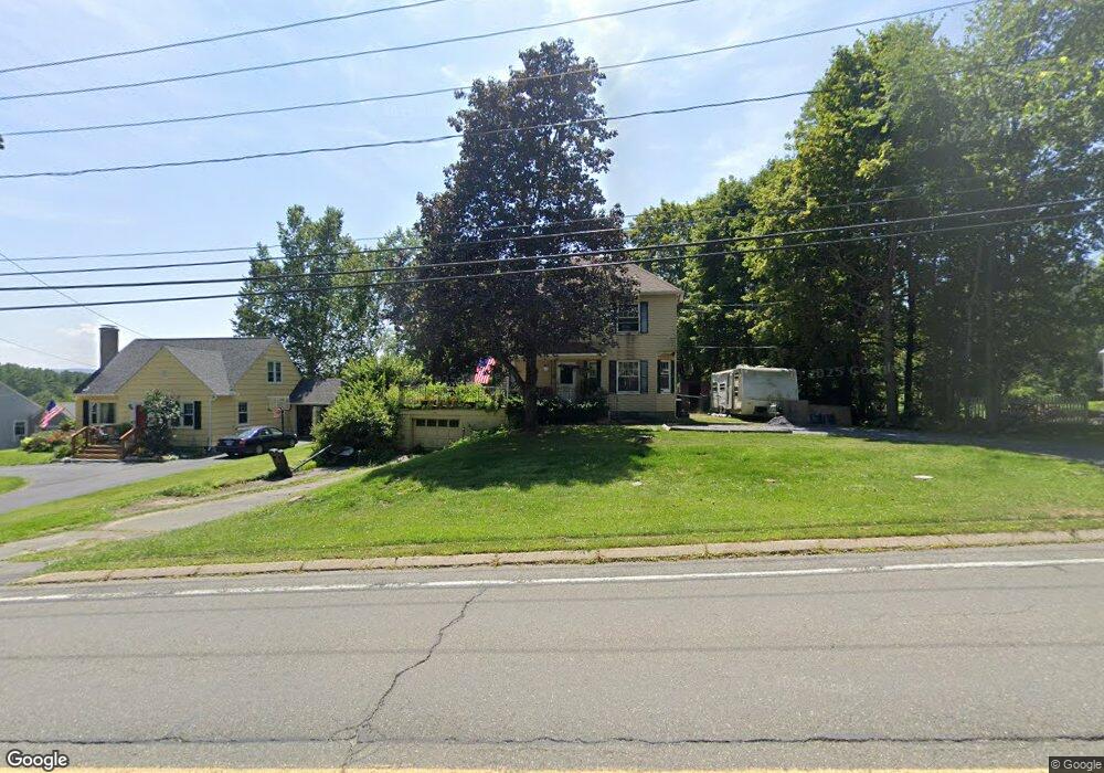
741 West St Pittsfield, MA 01201
Estimated Value: $325,000 - $426,000
3
Beds
2
Baths
1,885
Sq Ft
$199/Sq Ft
Est. Value
About This Home
This home is located at 741 West St, Pittsfield, MA 01201 and is currently estimated at $374,730, approximately $198 per square foot. 741 West St is a home located in Berkshire County with nearby schools including Crosby Elementary School, John T. Reid Middle School, and Taconic High School.
Ownership History
Date
Name
Owned For
Owner Type
Purchase Details
Closed on
Feb 28, 2011
Sold by
Mongeon Steven D and Mongeon Sharon A
Bought by
Pittsfield City Of
Current Estimated Value
Purchase Details
Closed on
Nov 5, 1999
Sold by
Shiner Eric and Shiner Lynn J
Bought by
Yoder Joseph E and Yoder Mary D
Purchase Details
Closed on
Mar 27, 1992
Sold by
Johnson Brian P and Johnson Pamela C
Bought by
Shiner Eric and Shiner Lynn J
Create a Home Valuation Report for This Property
The Home Valuation Report is an in-depth analysis detailing your home's value as well as a comparison with similar homes in the area
Home Values in the Area
Average Home Value in this Area
Purchase History
| Date | Buyer | Sale Price | Title Company |
|---|---|---|---|
| Pittsfield City Of | -- | -- | |
| Pittsfield City Of | -- | -- | |
| Pittsfield City Of | -- | -- | |
| Yoder Joseph E | $128,600 | -- | |
| Yoder Joseph E | $128,600 | -- | |
| Shiner Eric | $113,000 | -- | |
| Shiner Eric | $113,000 | -- |
Source: Public Records
Mortgage History
| Date | Status | Borrower | Loan Amount |
|---|---|---|---|
| Previous Owner | Shiner Eric | $167,000 | |
| Previous Owner | Shiner Eric | $103,000 |
Source: Public Records
Tax History
| Year | Tax Paid | Tax Assessment Tax Assessment Total Assessment is a certain percentage of the fair market value that is determined by local assessors to be the total taxable value of land and additions on the property. | Land | Improvement |
|---|---|---|---|---|
| 2025 | $3,868 | $215,600 | $61,100 | $154,500 |
| 2024 | $3,684 | $199,700 | $61,100 | $138,600 |
| 2023 | $3,283 | $179,200 | $53,100 | $126,100 |
| 2022 | $3,124 | $168,300 | $58,600 | $109,700 |
| 2021 | $3,040 | $157,900 | $58,600 | $99,300 |
| 2020 | $3,292 | $167,000 | $71,100 | $95,900 |
| 2019 | $3,068 | $158,000 | $66,100 | $91,900 |
| 2018 | $3,094 | $154,600 | $66,100 | $88,500 |
| 2017 | $3,068 | $156,300 | $71,100 | $85,200 |
| 2016 | $2,906 | $154,900 | $71,100 | $83,800 |
| 2015 | $2,797 | $154,900 | $71,100 | $83,800 |
Source: Public Records
Map
Nearby Homes
- 61 Tor Ct
- 32 Jason St
- 158 Eleanor Rd
- 2 Amy Ct
- 2 Amy Ct Unit 2
- 208 Jason St
- 25 Leroi Dr
- 728 W Housatonic St
- 22 S Atlantic Ave
- 233 Cadwell Rd
- 47 Onota St
- 20 Greenway St
- 36 Churchill Crest Unit 36
- 26 Churchill Crest
- 50 John St
- 292 West St
- 292 West St
- 8 Applewood Ln
- 58 Churchill Crest
- 60 Churchill Crest
Your Personal Tour Guide
Ask me questions while you tour the home.