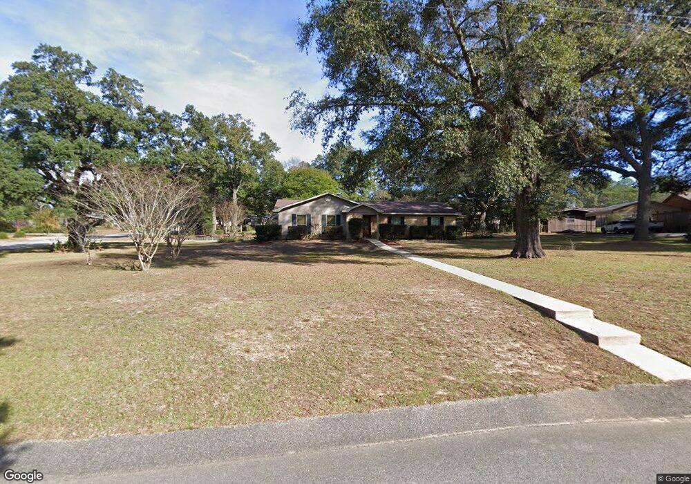
7410 Fir Dr Saraland, AL 36571
Outer Saraland NeighborhoodEstimated Value: $344,568 - $366,000
3
Beds
2
Baths
1,890
Sq Ft
$186/Sq Ft
Est. Value
About This Home
This home is located at 7410 Fir Dr, Saraland, AL 36571 and is currently estimated at $351,642, approximately $186 per square foot. 7410 Fir Dr is a home located in Mobile County with nearby schools including Saraland Elementary School, Nelson Leon Adams Middle School/Saraland Middle School, and Saraland High School.
Ownership History
Date
Name
Owned For
Owner Type
Purchase Details
Closed on
Jan 10, 2025
Sold by
Sims Rockie D and Sims Rita H
Bought by
Santana Nicolas and Pendley Shelby
Current Estimated Value
Home Financials for this Owner
Home Financials are based on the most recent Mortgage that was taken out on this home.
Original Mortgage
$321,530
Outstanding Balance
$319,297
Interest Rate
6.81%
Mortgage Type
FHA
Estimated Equity
$32,345
Purchase Details
Closed on
Jun 19, 2014
Sold by
Sims Rita H
Bought by
Sims Rita H and Hawsey William H
Purchase Details
Closed on
Apr 25, 2003
Sold by
Ward Bryan E and Ward Karen L
Bought by
Sims Rockie D and Sims Rita H
Home Financials for this Owner
Home Financials are based on the most recent Mortgage that was taken out on this home.
Original Mortgage
$94,000
Interest Rate
5.79%
Create a Home Valuation Report for This Property
The Home Valuation Report is an in-depth analysis detailing your home's value as well as a comparison with similar homes in the area
Home Values in the Area
Average Home Value in this Area
Purchase History
| Date | Buyer | Sale Price | Title Company |
|---|---|---|---|
| Santana Nicolas | $340,000 | None Listed On Document | |
| Santana Nicolas | $340,000 | None Listed On Document | |
| Sims Rita H | -- | None Available | |
| Sims Rockie D | -- | -- |
Source: Public Records
Mortgage History
| Date | Status | Borrower | Loan Amount |
|---|---|---|---|
| Open | Santana Nicolas | $321,530 | |
| Closed | Santana Nicolas | $321,530 | |
| Previous Owner | Sims Rockie D | $94,000 |
Source: Public Records
Tax History Compared to Growth
Tax History
| Year | Tax Paid | Tax Assessment Tax Assessment Total Assessment is a certain percentage of the fair market value that is determined by local assessors to be the total taxable value of land and additions on the property. | Land | Improvement |
|---|---|---|---|---|
| 2024 | $1,369 | $24,140 | $6,300 | $17,840 |
| 2023 | $1,369 | $21,920 | $6,300 | $15,620 |
| 2022 | $1,144 | $20,350 | $6,300 | $14,050 |
| 2021 | $1,186 | $21,050 | $6,380 | $14,670 |
| 2020 | $1,186 | $21,050 | $6,380 | $14,670 |
| 2019 | $1,105 | $19,700 | $0 | $0 |
| 2018 | $980 | $17,600 | $0 | $0 |
| 2017 | $1,005 | $18,020 | $0 | $0 |
| 2016 | $1,018 | $18,240 | $0 | $0 |
| 2013 | $839 | $17,140 | $0 | $0 |
Source: Public Records
Map
Nearby Homes
- 4514 Hickory Ln
- 7576 Cornwallis St
- 7150 Cape Dr
- 4571 Spruce Ave
- 7135 Cedar Dr Unit 1B
- 7012 Kali Oka Rd
- 8 Pine Ct Unit 8
- 9 Pine Ct Unit 9
- 7 Pine Ct Unit 7
- 4511 Bella Sara Ct
- 4124 Chisha Dr
- 11301 Kali Oka Rd
- 0 Styles Dr Unit 7635851
- 0 Styles Dr Unit 7635768
- 0 Styles Dr Unit 7635747
- 0 Styles Dr Unit 7635647
- 0 Lafitte Rd Unit 7142258
- 6797 T M Brett Blvd
- 0 Charleston Ct Unit 6 369803
- 0 Charleston Ct Unit 7478152