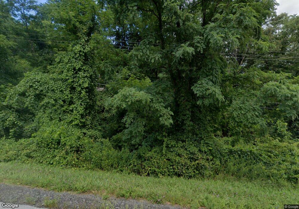
7410 State Route 20a Bloomfield, NY 14469
Estimated Value: $270,000 - $334,000
3
Beds
1
Bath
1,176
Sq Ft
$246/Sq Ft
Est. Value
About This Home
This home is located at 7410 State Route 20a, Bloomfield, NY 14469 and is currently estimated at $289,621, approximately $246 per square foot. 7410 State Route 20a is a home located in Ontario County with nearby schools including Bloomfield Elementary School, Bloomfield Middle School, and Bloomfield High School.
Ownership History
Date
Name
Owned For
Owner Type
Purchase Details
Closed on
Jul 19, 2021
Sold by
Debuck Kenneth and Debuck Joann
Bought by
Malec Crystal and Mckeveny Jessica
Current Estimated Value
Purchase Details
Closed on
Jun 30, 2005
Sold by
Sikes Joyce
Bought by
Debuck Kenneth
Home Financials for this Owner
Home Financials are based on the most recent Mortgage that was taken out on this home.
Original Mortgage
$116,000
Interest Rate
5.73%
Purchase Details
Closed on
Aug 21, 2002
Sold by
Leone Philip
Bought by
Sikes Joyce
Create a Home Valuation Report for This Property
The Home Valuation Report is an in-depth analysis detailing your home's value as well as a comparison with similar homes in the area
Home Values in the Area
Average Home Value in this Area
Purchase History
| Date | Buyer | Sale Price | Title Company |
|---|---|---|---|
| Malec Crystal | -- | None Available | |
| Debuck Kenneth | $145,000 | Michael Ringrose | |
| Sikes Joyce | $93,000 | Albert Kusak |
Source: Public Records
Mortgage History
| Date | Status | Borrower | Loan Amount |
|---|---|---|---|
| Previous Owner | Debuck Kenneth | $116,000 |
Source: Public Records
Tax History Compared to Growth
Tax History
| Year | Tax Paid | Tax Assessment Tax Assessment Total Assessment is a certain percentage of the fair market value that is determined by local assessors to be the total taxable value of land and additions on the property. | Land | Improvement |
|---|---|---|---|---|
| 2024 | $5,412 | $208,000 | $27,000 | $181,000 |
| 2023 | $5,471 | $208,000 | $27,000 | $181,000 |
| 2022 | $5,320 | $165,000 | $22,000 | $143,000 |
| 2021 | $5,197 | $165,000 | $22,000 | $143,000 |
| 2020 | $4,603 | $165,000 | $22,000 | $143,000 |
| 2019 | $0 | $165,000 | $22,000 | $143,000 |
| 2018 | $4,530 | $152,000 | $20,400 | $131,600 |
| 2017 | $4,439 | $152,000 | $20,400 | $131,600 |
| 2016 | $4,365 | $152,000 | $20,400 | $131,600 |
| 2015 | -- | $152,000 | $20,400 | $131,600 |
| 2014 | -- | $152,000 | $20,100 | $131,900 |
Source: Public Records
Map
Nearby Homes
- 6979 Tilton Rd
- 3724 Oakmount Rd
- 4391 Egypt Rd
- 3634 Oakmount Rd
- 3620 Oakmount Rd
- 6557 County Road 32
- 4508 New York 64
- 7334 Old Logan Rd
- 6511 Fisher Hill Rd
- 6441 Montanye Rd
- 4551 State Route 64
- Lot State Route 444 Rd
- 4743 Bear Wood Ln
- 3354 Wheeler Station Rd
- 6126 Rossier Rd
- 3100 County Road 40
- 47 South Ave
- 39 South Ave
- 0 Wesley Rd
- 5159 Deuel Rd
- 4055 Toneison Rd
- 7421 State Route 20a
- 4029 Toneison Rd
- 4050 Toneison Rd
- 7423 State Route 20a
- 4040 Toneison Rd
- 7476 U S 20a
- 7426 State Route 20a
- 7404 State Route 20a
- 7339 Tilton Rd
- 7359 Tilton Rd
- 7427 State Route 20a
- 7403 State Route 20a
- 4121 Jones Rd
- 7235 Tilton Rd
- 7466 State Route 20a
- 4141 Jones Rd
- 0 Route 20a Unit R921027
- 0 Route 20a Unit R256325
- 0 Route 20a Unit R1397462
