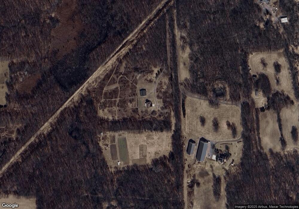
7411 Krofft Rd Munith, MI 49259
Estimated Value: $318,000 - $381,062
4
Beds
3
Baths
2,654
Sq Ft
$132/Sq Ft
Est. Value
About This Home
This home is located at 7411 Krofft Rd, Munith, MI 49259 and is currently estimated at $349,531, approximately $131 per square foot. 7411 Krofft Rd is a home located in Jackson County with nearby schools including Northwest Early Elementary School, Northwest Elementary School, and Northwest Middle School.
Ownership History
Date
Name
Owned For
Owner Type
Purchase Details
Closed on
Jul 27, 2005
Sold by
Bowns Robert L
Bought by
Bowns Bryan
Current Estimated Value
Create a Home Valuation Report for This Property
The Home Valuation Report is an in-depth analysis detailing your home's value as well as a comparison with similar homes in the area
Purchase History
| Date | Buyer | Sale Price | Title Company |
|---|---|---|---|
| Bowns Bryan | -- | None Available |
Source: Public Records
Tax History
| Year | Tax Paid | Tax Assessment Tax Assessment Total Assessment is a certain percentage of the fair market value that is determined by local assessors to be the total taxable value of land and additions on the property. | Land | Improvement |
|---|---|---|---|---|
| 2025 | $2,963 | $165,500 | $165,500 | $0 |
| 2024 | $16 | $161,200 | $161,200 | $0 |
| 2023 | $1,530 | $142,100 | $142,100 | $0 |
| 2022 | $2,715 | $123,400 | $123,400 | $0 |
| 2021 | $2,672 | $124,000 | $124,000 | $0 |
| 2020 | $2,650 | $128,100 | $0 | $0 |
| 2019 | $2,586 | $111,700 | $0 | $0 |
| 2018 | $2,557 | $110,900 | $0 | $0 |
| 2017 | $2,413 | $113,500 | $0 | $0 |
| 2016 | $1,676 | $99,503 | $99,503 | $0 |
| 2015 | -- | $86,874 | $86,874 | $0 |
| 2014 | -- | $80,747 | $80,747 | $0 |
| 2013 | -- | $80,747 | $80,747 | $0 |
Source: Public Records
Map
Nearby Homes
- 8843 Bunkerhill Rd
- 0 Bunkerhill Rd
- 7762 Coon Hill Rd
- 00 Waco Dr
- 6501 Hawkins Rd
- 8470 Kennedy Rd
- 6117 Kennedy Rd
- 6418 Kennedy Rd
- 6640 Smith Rd
- V/L Bunkerhill Rd
- 104 Clyde James Rd
- 4387 E Berry Rd
- 0 Bunkerhill Rd Unit LotWP001 23718516
- 2651 Elliott Rd
- 0 Hankerd Unit 25051333
- V/L Hawkins Rd
- 5990 Brills Lake Rd
- 216 Portage Lake Rd
- 0000 Roberts Dr
- 4100 Hawkins Rd
- 7400 Krofft Rd
- 7220 Krofft Rd
- 7350 Krofft Rd
- 7157 Krofft Rd
- 7173 Krofft Rd
- 7617 Wooster Rd
- 7166 Krofft Rd
- 7170 Krofft Rd
- 6635 Coon Hill Rd
- 6635 Coonhill Rd
- Parcel F Wooster
- 7667 Wooster Rd
- 7699 Wooster Rd
- 7194 Krofft Rd
- 7731 Wooster Rd
- 6375 Coon Hill Rd
- 6085 Coon Hill Rd
- 6091 Coon Hill Rd
- 6453 Coon Hill Rd
- 6085 Coon Hill Rd
