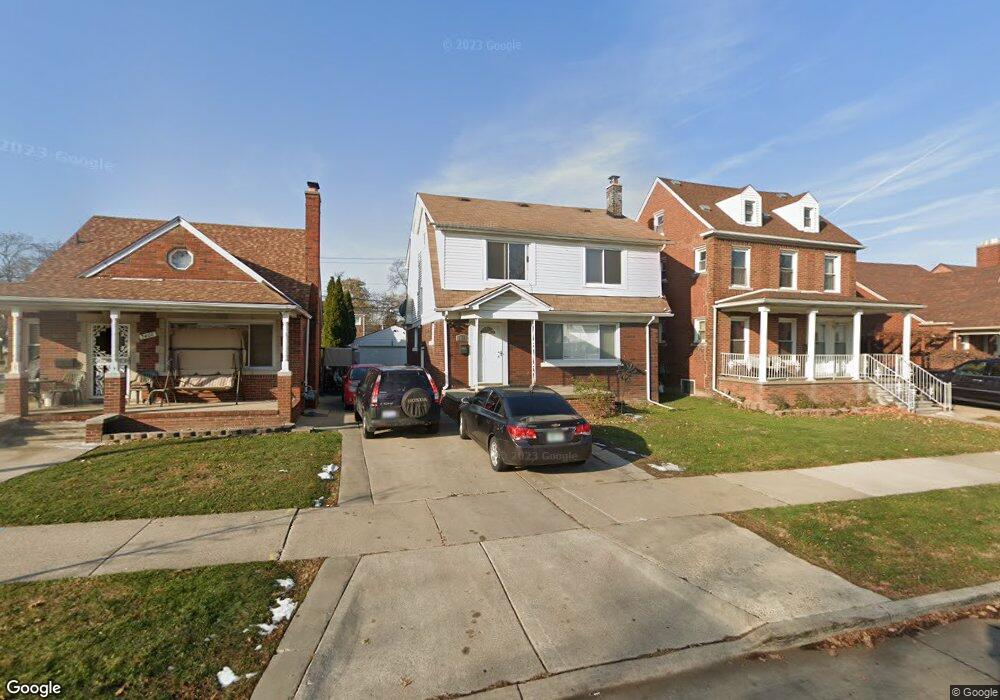
7413 Pinehurst St Dearborn, MI 48126
Aviation NeighborhoodEstimated Value: $214,000 - $265,000
3
Beds
2
Baths
1,446
Sq Ft
$167/Sq Ft
Est. Value
About This Home
This home is located at 7413 Pinehurst St, Dearborn, MI 48126 and is currently estimated at $241,034, approximately $166 per square foot. 7413 Pinehurst St is a home located in Wayne County with nearby schools including McCollough-Unis School, Fordson High School, and Advanced Technology Academy.
Ownership History
Date
Name
Owned For
Owner Type
Purchase Details
Closed on
Nov 4, 2008
Sold by
Preston Steven C and Secretary Of Housing & Urban D
Bought by
Basma Husain
Current Estimated Value
Purchase Details
Closed on
Jul 24, 2007
Sold by
Wells Fargo Bank Na
Bought by
Hud
Purchase Details
Closed on
Jan 17, 2007
Sold by
Choker Fouad and Saeed Khawla
Bought by
Wells Fargo Bank Na
Purchase Details
Closed on
Aug 31, 2004
Sold by
Dergham Mesbah
Bought by
Choker Fouad
Purchase Details
Closed on
Sep 23, 1996
Sold by
Essaili Haidar and Essaili Samia H
Bought by
Hassan M Haidar
Create a Home Valuation Report for This Property
The Home Valuation Report is an in-depth analysis detailing your home's value as well as a comparison with similar homes in the area
Home Values in the Area
Average Home Value in this Area
Purchase History
| Date | Buyer | Sale Price | Title Company |
|---|---|---|---|
| Basma Husain | $80,100 | None Available | |
| Hud | -- | None Available | |
| Wells Fargo Bank Na | $173,656 | None Available | |
| Choker Fouad | $170,000 | None Available | |
| Hassan M Haidar | $98,000 | -- |
Source: Public Records
Tax History
| Year | Tax Paid | Tax Assessment Tax Assessment Total Assessment is a certain percentage of the fair market value that is determined by local assessors to be the total taxable value of land and additions on the property. | Land | Improvement |
|---|---|---|---|---|
| 2025 | $2,016 | $101,000 | $0 | $0 |
| 2024 | $1,972 | $79,200 | $0 | $0 |
| 2023 | $1,866 | $77,700 | $0 | $0 |
| 2022 | $2,100 | $70,900 | $0 | $0 |
| 2021 | $2,441 | $66,900 | $0 | $0 |
| 2019 | $2,416 | $59,700 | $0 | $0 |
| 2018 | $2,049 | $53,900 | $0 | $0 |
| 2017 | $587 | $47,900 | $0 | $0 |
| 2016 | $1,914 | $44,100 | $0 | $0 |
| 2015 | $3,618 | $39,700 | $0 | $0 |
| 2013 | $3,505 | $35,050 | $0 | $0 |
| 2011 | -- | $39,850 | $0 | $0 |
Source: Public Records
Map
Nearby Homes
- 7634 Pinehurst St
- 7658 Appoline St
- 7830 Miller Rd
- 7524 Hartwell St
- 7900 Middlepointe St
- 7857 Esper Blvd
- 10339 Tireman Ave
- 7815 Normile St
- 7758 Reuter St
- 7929 Normile St
- 8100 Middlepoint St
- 8511 Lonyo St
- 7750 Morross Ct
- 8258 Meyers Rd
- 8130 Ward St
- 7927 Bingham St
- 8118 Cheyenne St
- 8116 Wyoming Ave
- 6625 Reuter St
- 8042 Hartwell St
- 7421 Pinehurst St
- 7401 Pinehurst St
- 7429 Pinehurst St
- 7437 Pinehurst St
- 7416 Manor St
- 7404 Manor St
- 7420 Manor St
- 10540 S Morrow Cir
- 7428 Manor St
- 7445 Pinehurst St
- 7434 Manor St
- 10532 S Morrow Cir
- 7426 Pinehurst St
- 7505 Pinehurst St
- 7444 Manor St
- 7353 Pinehurst St
- 7360 Manor St
- 7436 Pinehurst St
- 10522 S Morrow Cir
- 7502 Manor St
Your Personal Tour Guide
Ask me questions while you tour the home.